Hiking Southern Utah: Checkerboard Mesa
 Trail name: Checkerboard Mesa (unofficial)
Location: Zion National Park
Difficulty: Strenuous
Length: 2 miles roundtrip
Elevation Gain: 900 feet
Average time: 2-3 hours
Family-friendly: Older children only
Dog-friendly: Dogs are not allowed on this trail
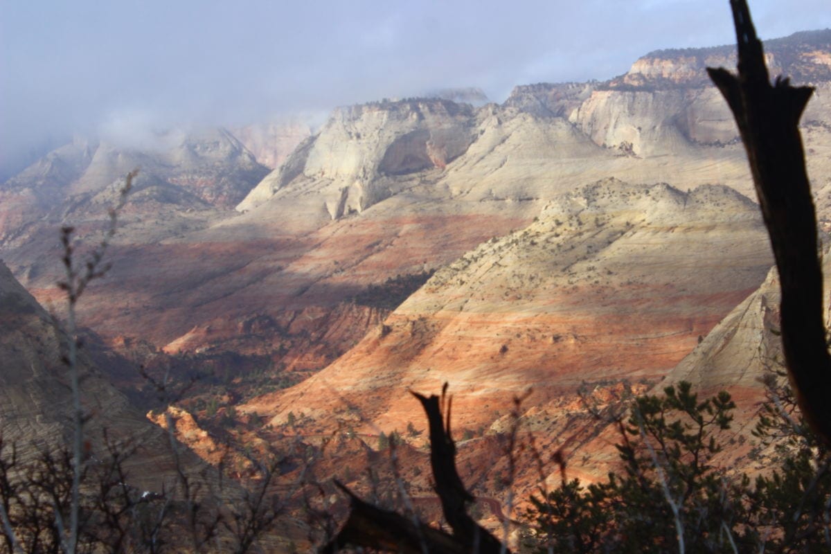
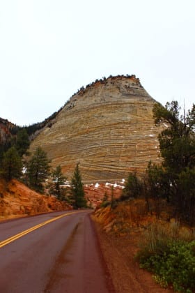
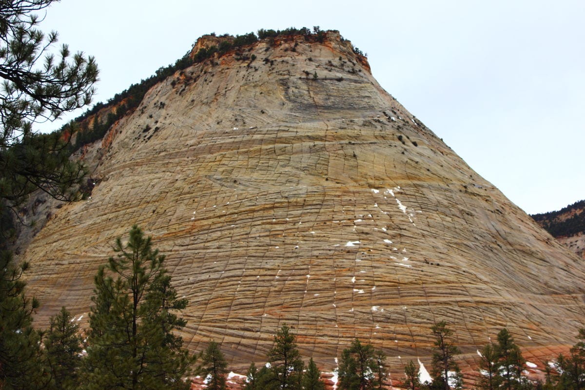
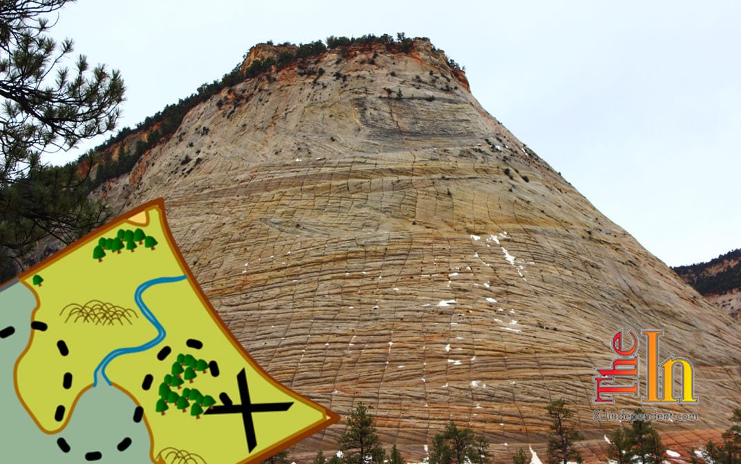
Checkerboard Mesa is one of the iconic landmarks in Zion National Park. Located on the less-frequented east side of the park, an ascent of this beautiful mountain provides for an exciting hike with spectacular scenery and quiet vistas.
Access: To find the trailhead, drive to the main entrance of Zion National Park. Pay the entrance fees, and continue on the main road to its intersection with the main canyon. Continue straight on State Route 9, zigzagging up the road until the Mt. Carmel Tunnel is reached after 3.5 miles. Pass through the tunnel, and after emerging one mile later drive for just over five more miles until the viewpoint for Checkerboard Mesa, on the left (western) side of the highway, is reached. Park here.
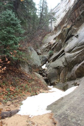
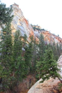
The trail: Walk down the road towards the mesa, following trails alongside the highway. At the base of the mountain, follow trails and slick rock into the drainage on the eastern side of the formation, to the left when facing the peak. The drainage will quickly narrow into a semi-slot canyon as the route progresses.
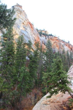
There are two options when ascending the canyon. The first and easiest option, and probably the most appropriate one when hiking with children, is to follow trails on the steep slope on the left side of the canyon. These trails wind through the trees and undergrowth and, while steep, rarely present any dangerous drop-offs.
 The second option is to follow the canyon floor directly. This raises the difficulty level significantly but also presents a more enjoyable route, at least for those who love scrambling and clambering up steep sections of rock. There are several steps on this section that can be steep but aren’t vertical enough to require a rope. All the same, caution should be exercised on these steps.
In either case, the route is relatively straight forward: Follow the trails or the canyon as it quickly ascends the gulch beside the mesa. This initial ascent is the most difficult segment of the entire trek. The bottom of the gulch will eventually merge with the brushy trails. At this point, continue climbing. After approximately a quarter mile, the route reaches the saddle between Checkerboard Mesa and the unnamed formation to its east. Turn right and head west, again following a trail through the brush. In a few hundred yards, the mesa top will be reached. Take a breath. The worst is over.
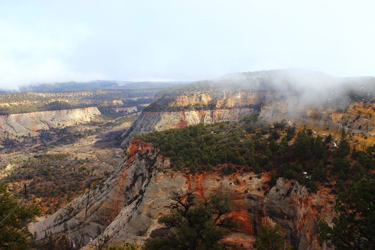
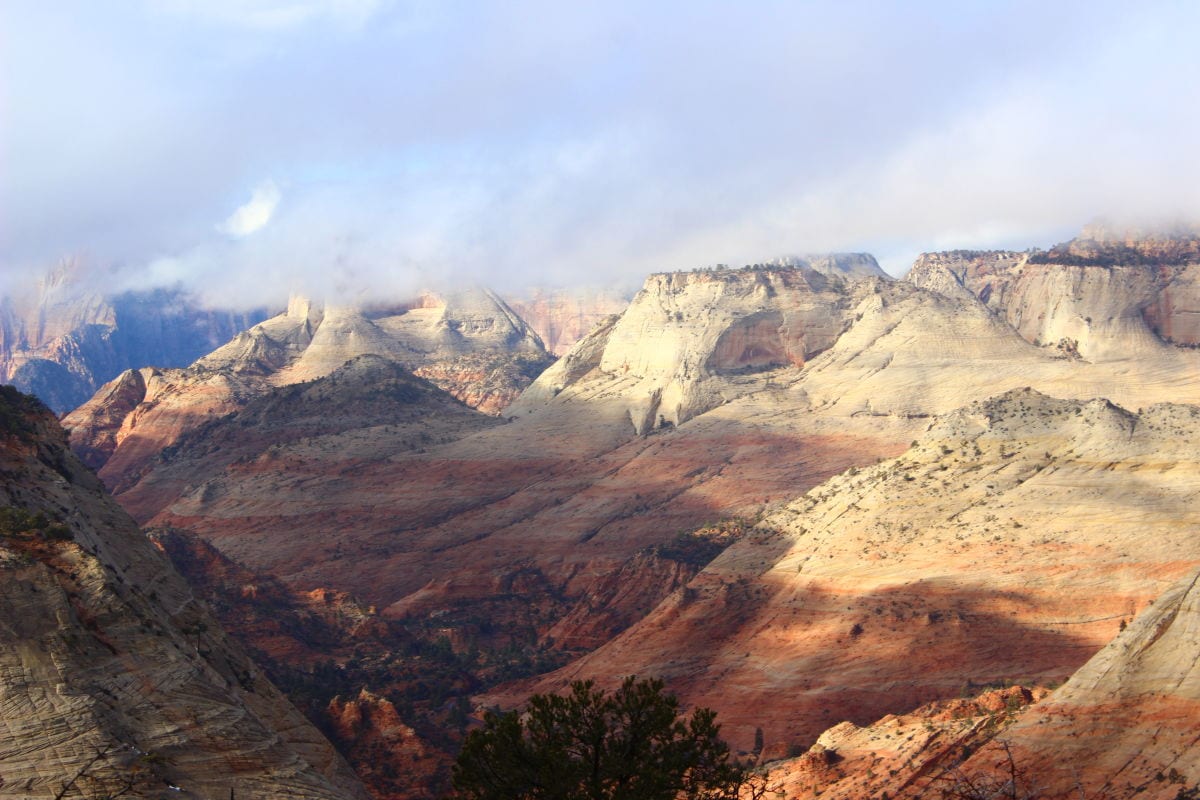
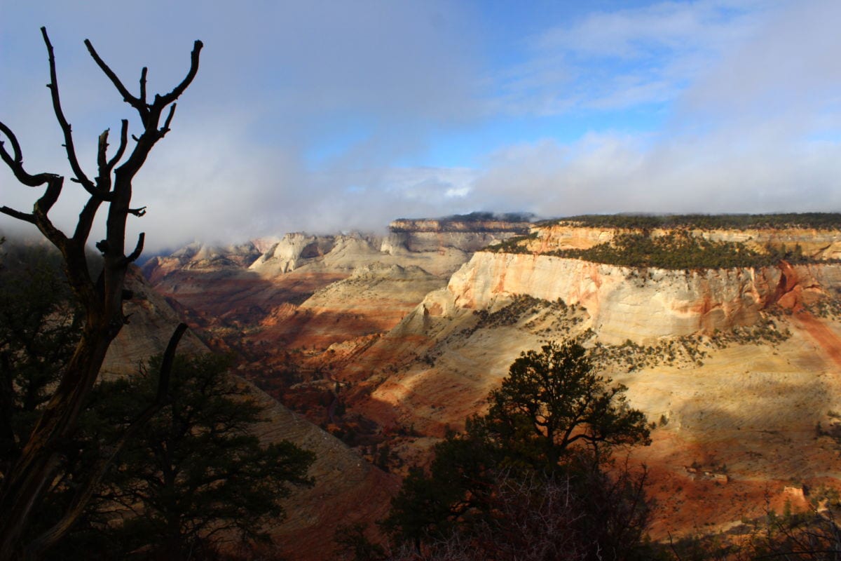
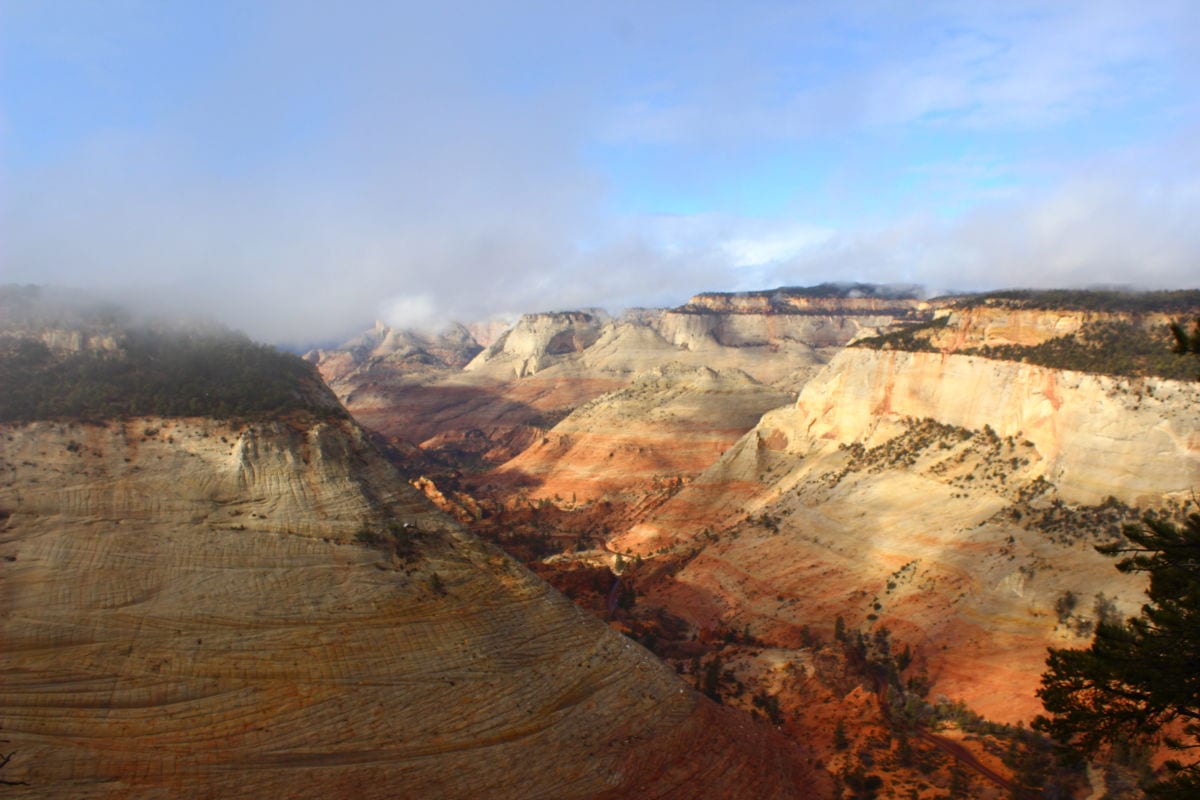
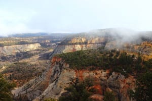 From here, head north and follow discontinuous trails. The easiest route sticks somewhat close to the eastern rim of the mesa. After less than a quarter-mile, the views to the north and west begin to open up as the route reaches the northern prow of Checkerboard Mesa. The best views are at the very northern end of the plateau. This makes for an excellent spot to eat lunch. The views stretch primarily to the west, with State Route 9 snaking its way towards the main Zion canyon, and to the east—the eastern entrance station to the park is visible nearly 1,000 feet below.
Articles related to “Hiking Southern Utah: Checkerboard Mesa”
Viewpoints and perspectives expressed throughout The Independent are those of the individual contributors. They do not necessarily reflect those held by the staff of The Independent or our advertising sponsors. Your comments, rebuttals, and contributions are welcome in accordance with our Terms of Service. Please be respectful and abide by our Community Rules. If you have privacy concerns you can view our Privacy Policy here. Thank you!
Click here to submit an article, guest opinion piece, or a Letter to the Editor


