
Hiking Southern Utah: Pictograph Mountain
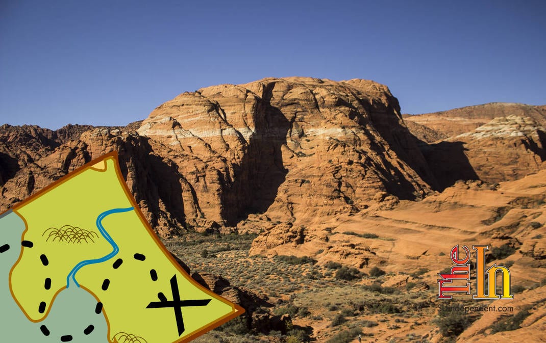
 Trail name: Three Ponds Trail
Difficulty: Strenuous
Length: 4 miles round-trip
Elevation Gain: Pictograph Mountain is approximately 800 feet; with Amphitheater Mountain, 1,000 feet
Family-friendly: Older kids only
Dog-friendly: No
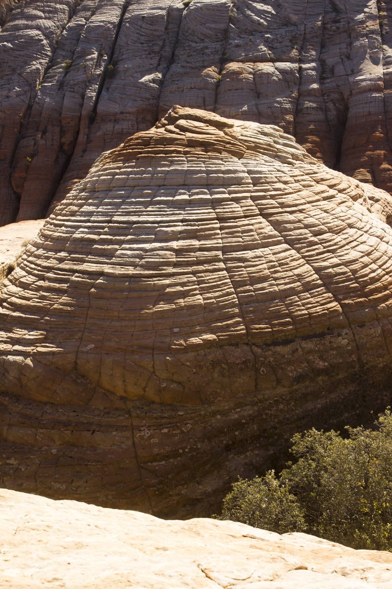
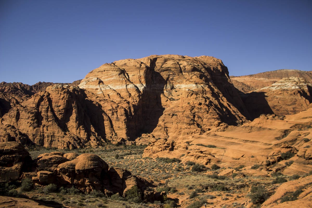
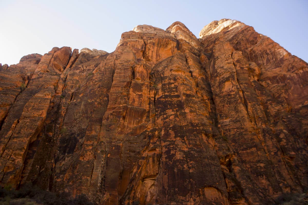
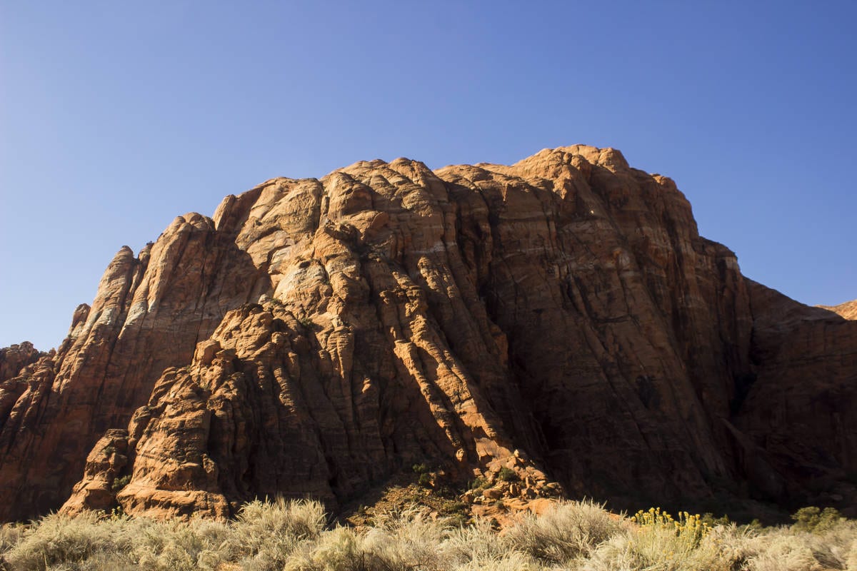
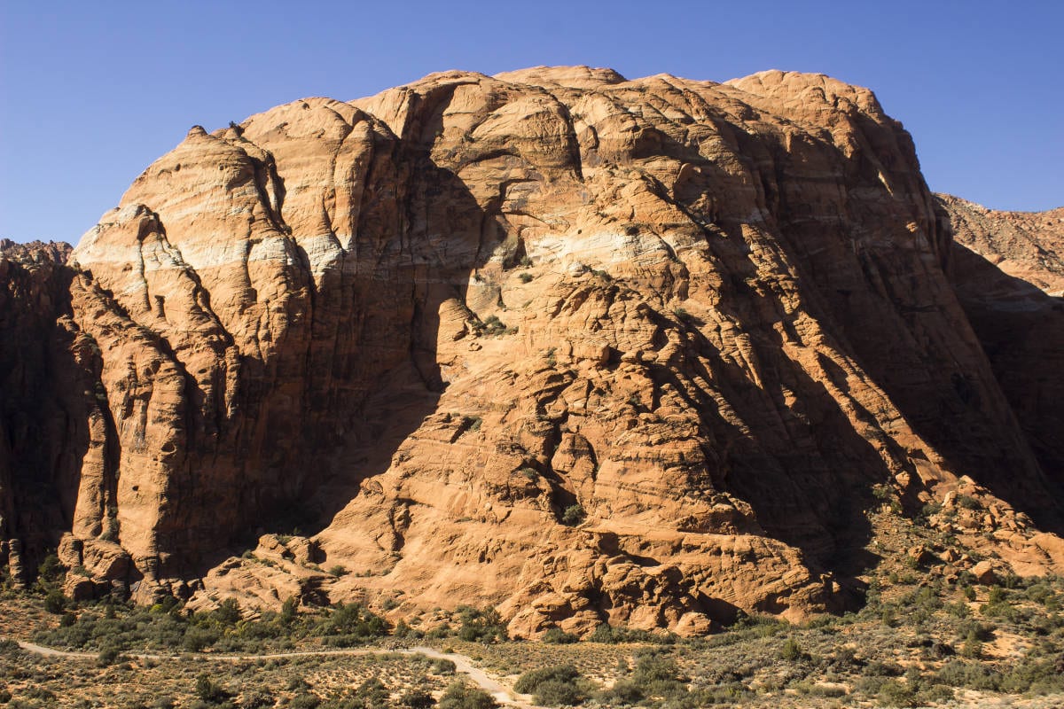
Pictograph Mountain is the large, colorful dome located in the southwestern portion of Snow Canyon State Park. As one of the dominant features in the park, this eye-catching peak seems like it would be impossible to climb without technical rock gear, but several devious, enjoyable scramble routes exist that lead adventurers to the summit of this beautiful formation. As an added bonus, a nearby sub-peak, Amphitheater Mountain (my name for it), can easily be added to the ascent.
Access: From the junction of Bluff Street and St. George Boulevard, drive north on Bluff Street for 1.7 miles, then turn left on Snow Canyon Parkway. Drive west for 3.2 miles to the second traffic circle. Take the first right onto Snow Canyon Drive. Continue north for one mile to the south entrance station. Pay the entrance fees, and continue into the park, driving for a little over a mile and a half to the Hidden Pinyon trailhead on the left.
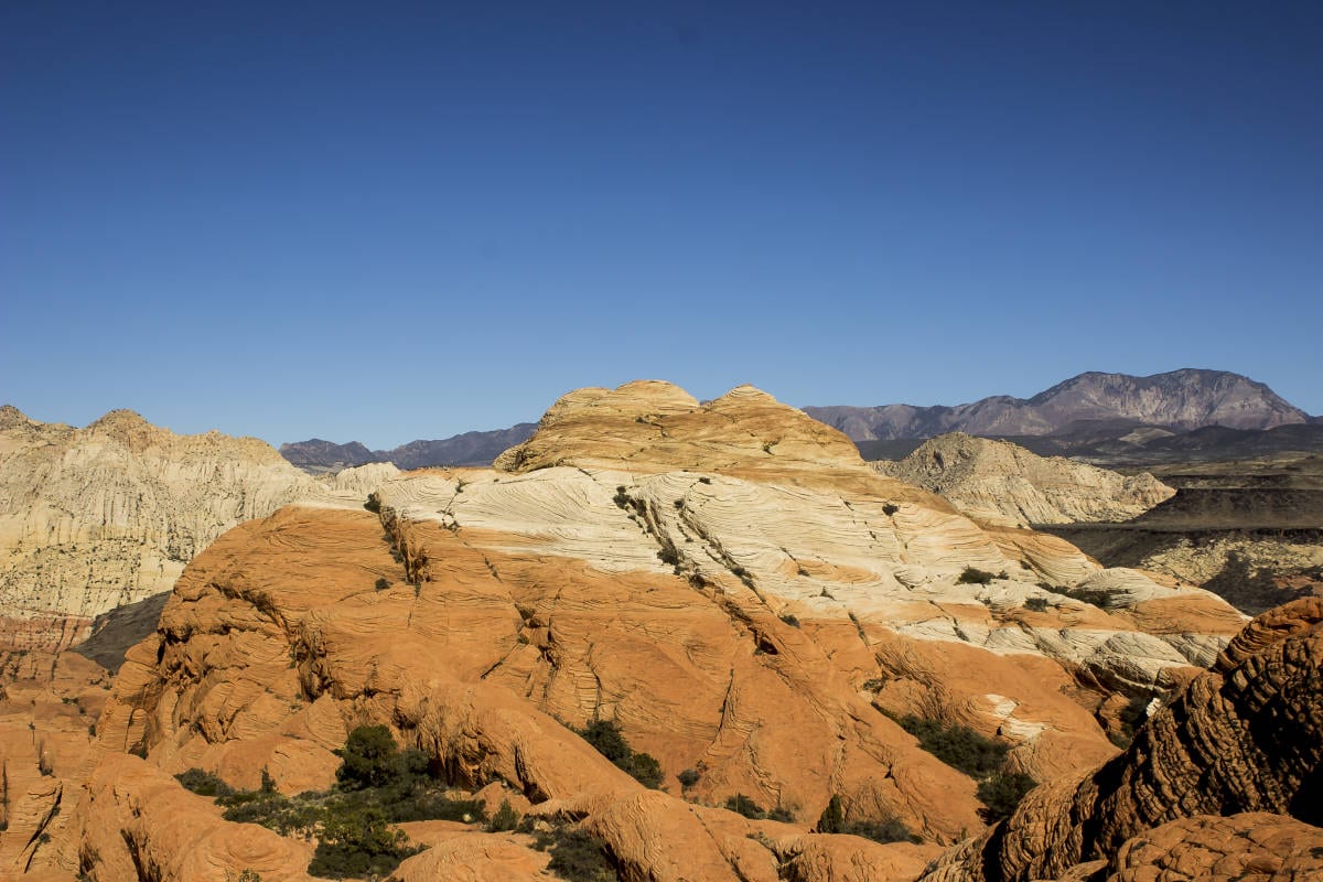
Follow the Hidden Pinyon trail through sandy and occasionally rocky terrain as it contours around several rock formations. The Hidden Pinyon trail also links up with the Three Ponds Trail, and eventually this latter trail is the one you want to continue on. A map of Snow Canyon is helpful. Continue in a northwest direction for a little over half a mile until the trail begins heading almost due west. Shortly after this direction change, look for a sign for the Hidden Pinyon overlook. This short trail jogs to the southwest towards a nice vista atop a sandstone rise. It is worth the time to make this diversion. Awesome views of Pictograph await.
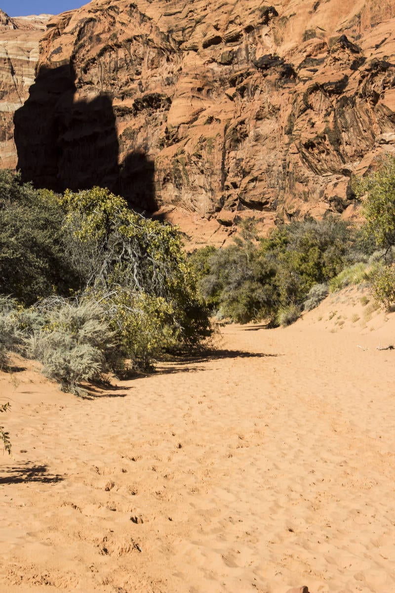 Get back on the Three Ponds trail, and continue heading west. The trail drops down into a wash. Walk a short distance north in this wash, and reconnect with the trail. Shortly after that, the trail then passes the West Canyon Road, a popular spot for hikers and bikers. Cross the road and continue on the Three Ponds trail. At this point the trail becomes very sandy, and soon it isn’t a trail at all but a route following a wide wash into the deep canyon below Pictograph and Amphitheater Mountains. Follow this wash for approximately a quarter mile until it makes a northern bend. Look for a well-defined trail that leads out of the wash and heads in a southwest direction. Follow this trail until leads to the toe of a ridge heading due south. Look for cairns leading up a narrow gully. This is the escalator route.
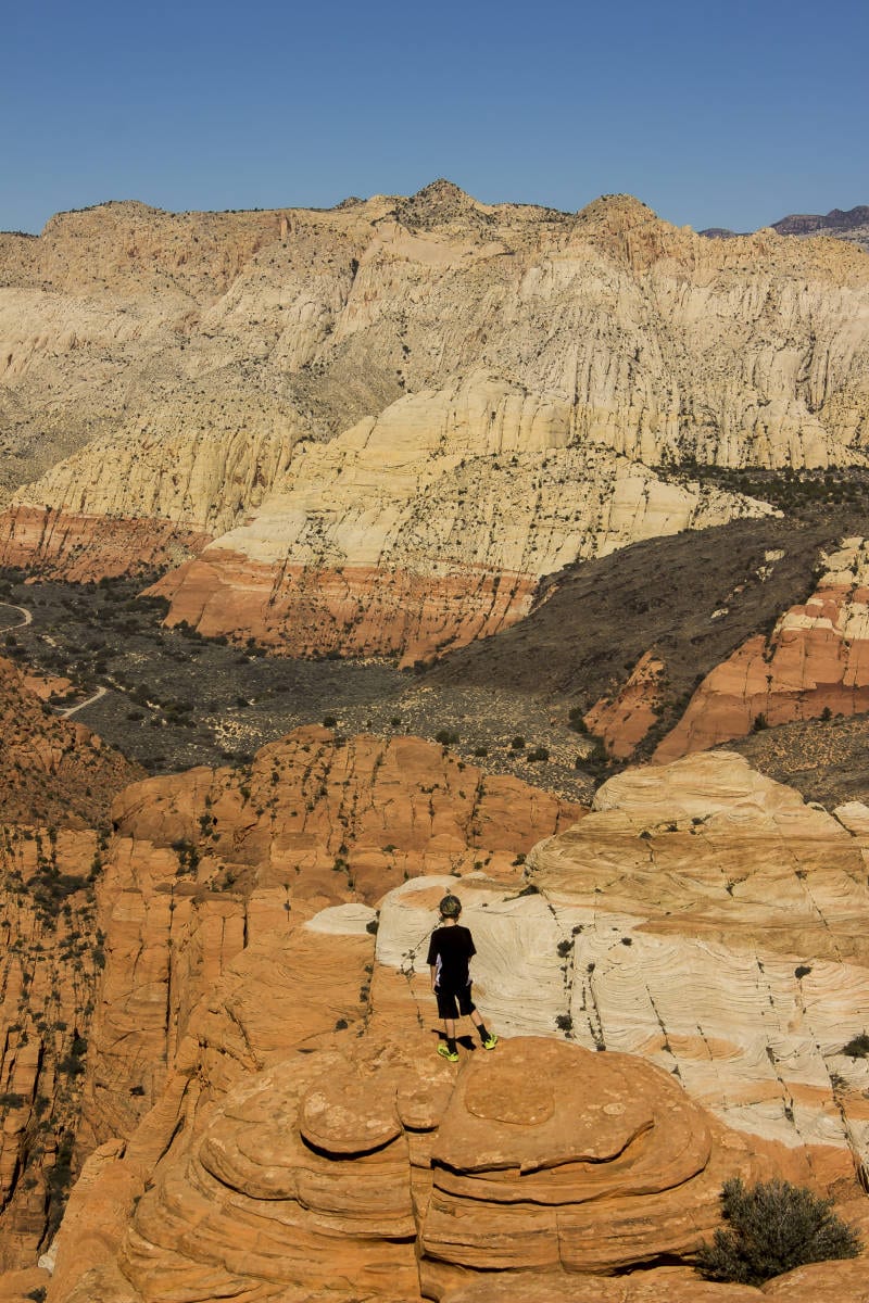
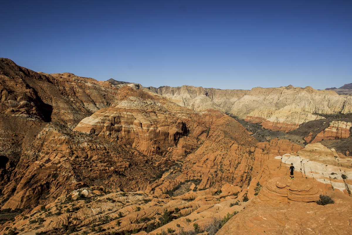
 From here the route will follow a steep, loose, narrow gully for several hundred feet. While steep, the difficulty never exceeds class 2 or 3. And even though there is loose rock, it is a fun scramble with little exposure. Cairns appear regularly to keep one on track. Initially the route sticks to the gully, but after several hundred feet of elevation gain, it diverts to the east. Again, there should be regular cairns to guide the way. From here the route will climb, cross over to another rib, climb, cross another rib, etc. Soon the summit should appear as the highest dome to the southeast. Follow the path of least resistance until the highest point is gained. The views are nothing short of spectacular. When ready, return the way you came, taking extra care on the descent.
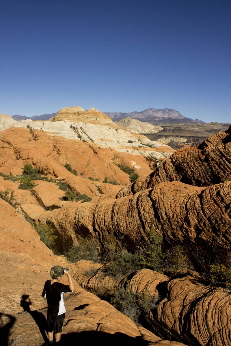
 Extra Credit: Amphitheater Mountain, a smaller peak to the north (but part of the same formation), is easily climbed by following ribs from the summit of Pictograph to a saddle and then picking your way through slot canyons, ribs, and faces to the summit. It only adds a short distance and time to the overall trip and is well worth the effort. In order to get back to the Escalator route, re-climb the rib used to arrive at the base of Amphitheater Mountain, then cross over to the western rib needed to descend back to the valley floor.
Further Options: There are two more routes that lead to the summit of Pictograph Mountain. One follows the canyon on the southwest side of the mountain (known as the Tuacahn Chimney route). If taking this option, make sure you take the side canyon branching to the southwest, which shouldn’t exceed class 3. This is an interesting and beautiful route through a surprisingly lush canyon. Another option is to take the ridge heading east from the Tuacahn Saddle, which should also remain around class 3.


Articles related to “Hiking Southern Utah: Pictograph Mountain”
Hiking Southern Utah: The Northgate Peaks and North Guardian Angel


