– Written by Don Gilman –
Trail name: Temple Quarry Trail
Difficulty: Easy
Elevation gain: 250 feet
Length: 2.5 miles
Time required: 1 hour
Family-friendly: Very, with little in the way of obstacles or elevation gain
When the St. George temple was being constructed during the years of 1871 through 1877, stone was needed that would not break down in the alkaline soil of the area. The leaders in this endeavor saw their answers in the nearby Black Hill, the higher of the two mesas west of St. George, and the Temple Quarry and its trail were soon constructed. The quarry was only in operation for three years, shutting down in 1874, but the trail remains and is a delightful, easy walk with lovely views and historical interest.
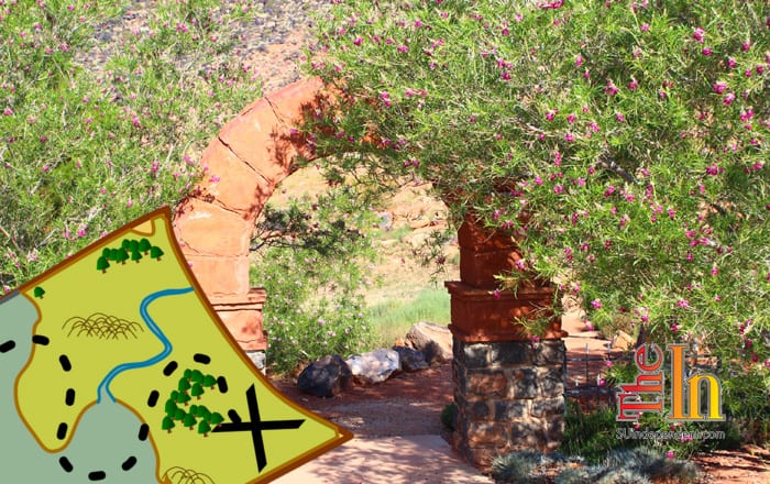
 Access: To find the trail, start at the intersection of Bluff Street and St. George Boulevard. Go straight across the intersection, following South Airport Road up the hill for half a mile. Turn right onto West 265 South for a few hundred feet, then turn left onto South Donlee Drive. After a hundred yards, and after passing an apartment complex, look for a small parking area on the right. This is the trailhead for the Temple Quarry Trail, and there is room for several vehicles here. A small manmade sandstone arch marks the start of the trail.
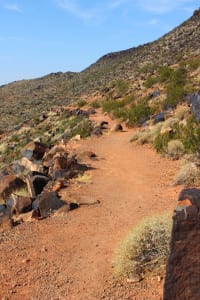
The trail starts out weaving a path along the lower slope of the rim rock mesa towering above and soon reaches a short section of stairs that mark the only significant elevation gain of the entire trek. After this brief rise, a sign informing the visitor of the trail’s history is reached, and from there the trail heads south on a very level grade. There are benches situated at regular intervals along the trail. The path parallels the columnar basalt that caps the mesa, diverting occasionally around bigger black rock boulders that have fallen from the slope above. Views at the beginning are rather mundane, with the old airport site being the main attraction.
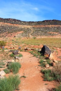 As the trail travels further south, however, vistas of the southern part of St. George and Bloomington begin to open up, with the Southgate Golf Course spread out like a green oasis at the foot of the mesa. Soon, the path bends to the west, and the boulders lining the sides of the trail get noticeably larger. The route then contours back towards the north, reaching a picnic area at around 1.25 miles, another informative plaque, and a (presumably) old pictoglyph. This is a great spot to sit and eat, enjoying the views of the city. Look for dynamite marks that remain in the nearby rocks.
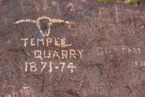 From here, the trail doubles back on itself in a 0.25-mile loop. Whether to expend this final bit of energy is up to the hiker, but this final section offers little in the way of views or interesting hiking. To return follow the trail back around the mesa towards the parking area.
Articles related to “Hiking Southern Utah: Temple Quarry Trail”
Hiking Southern Utah: Whiterocks Amphitheater to Awesome Chasm Traverse
Hiking Southern Utah: Snow Canyon State Park has short trails for young hikers
Hiking Southern Utah: Paradise Canyon, the “Central Park” of St. George


