
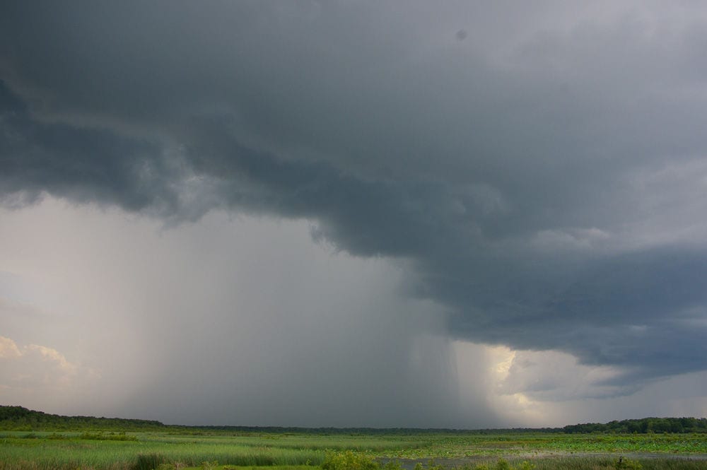

The National Weather Service in Salt Lake City has issued a flash flood watch for the majority of central and southern Utah. This watch is in effect through 10 p.m. MDT and includes the areas of Castle Country, the central and southern mountains, the San Rafael Swell, Glen Canyon National Recreation Area, south central Utah, and the Utah Dixie area, including Zion National Park. Monsoonal moisture is expected to spread north through Utah today, establishing conditions that could generate thunderstorms and heavy rain. This moisture will combine with unstable air and a weather disturbance moving through the Great Basin, triggering rain and thunderstorms through the state in the evening hours. Some of these storms have the potential to generate heavy rain, in particular across the central and southern portions of Utah.
The threat of flash floods is heightened in slot canyons, normally dry washes, burn scars, urban areas with poor drainage, and small streams in steep terrain.
Be prepared! A flash flood watch implies that conditions may occur that can develop into flash flooding. Flash floods are very serious, dangerous conditions that need to be taken seriously. Citizens should pay attention to weather forecasts and be prepared to take action if flash flood warnings are issued.
To keep updated on the status of the flash flood watch, please visit: http://forecast.weather.gov/showsigwx.php?warnzone=UTZ019&warncounty=UTC053&firewxzone=UTZ497&local_place1=4%20Miles%20NE%20Santa%20Clara%20UT&product1=Flash+Flood+Watch&lat=37.1834&lon=-113.6#.VcT04fmzm4h.


