
 ===============================
Severe Watches and Warnings for Saint George
===============================
URGENT – IMMEDIATE BROADCAST REQUESTED
Flood Watch
National Weather Service Salt Lake City UT
309 PM MDT Tue Jul 18 2017
…FLASH FLOOD WATCH IN EFFECT FROM WEDNESDAY MORNING THROUGH
WEDNESDAY EVENING…
The National Weather Service in Salt Lake City has issued a
* Flash Flood Watch for portions of central Utah and southern
Utah, including the following areas Castle Country, Central
Mountains, San Rafael Swell, Sanpete/Sevier Valleys, Wasatch
Plateau/Book Cliffs, West Central Utah, Glen Canyon Recreation
Area/Lake Powell, South Central Utah, Southern Mountains,
Southwest Utah, and Utahs Dixie and Zion National Park.
* From Wednesday morning through Wednesday evening
* Numerous thunderstorms are expected to develop across central
and southern Utah late Wednesday morning and continue through
the evening hours. Some of these storms will be capable of
producing very heavy rainfall which may result in flash
flooding.
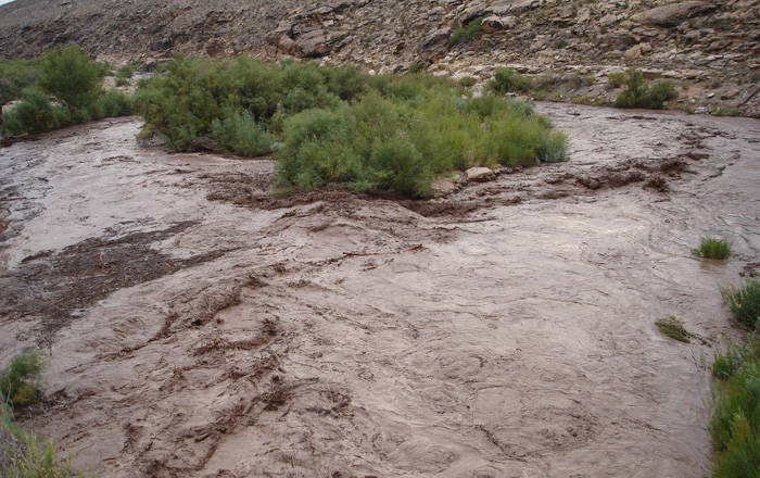
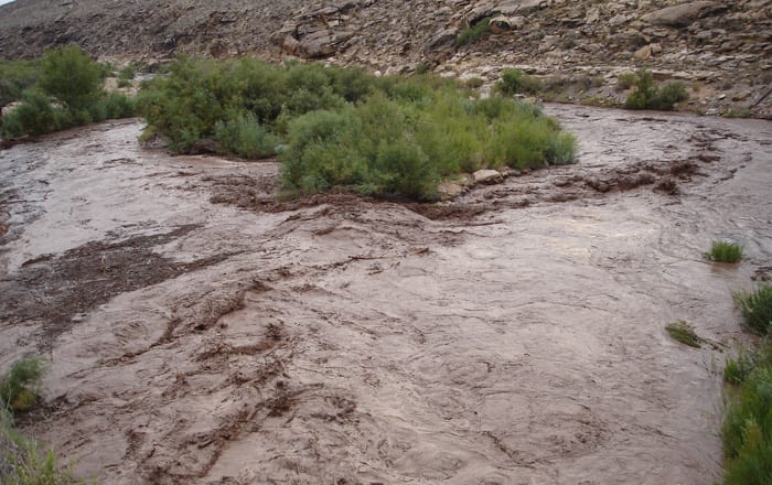
* Heavy rainfall can lead to rapid onset flooding with some of the
most prone areas being slot canyons, burn scars, normally dry
washes, and low water crossings. Water can rise quickly
downstream of heavy rain, even when the parent thunderstorm is
many miles away. Rock and mud slides, as well as water flowing
across roadways, will be possible which could locally impact
travel.
PRECAUTIONARY/PREPAREDNESS ACTIONS…
A Flash Flood Watch means that conditions may develop that lead
to flash flooding. Flash flooding is a VERY DANGEROUS SITUATION.
You should monitor later forecasts and be prepared to take action
should Flash Flood Warnings be issued.
&&
For more information from NOAA/s National Weather Service Visit…
http://weather.gov/saltlakecity


