 Hiking Southern Utah: Babylon Arch
Article and photos by Lacey McIntyre
 Distance: Round trip via the Flicker Trail, Sand Cove Access Road, and Arch Trail from the Sand Cove Trailhead Parking Area to the Virgin River: Approximately 3.2 miles with some rock scrambling and areas of uphill in deep sand.
Family-friendly: yes
Dog-friendly: yes
Directions from St. George
Take I-15 North to exit 22, which is the Leeds exit.
Turn left (north) off the interstate and drive approximately 1.5 miles through the town of Leeds.
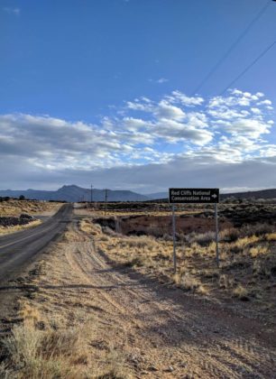
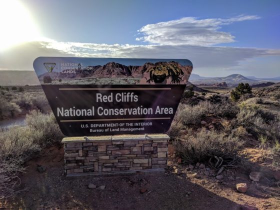
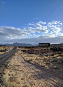
To your right you will see a sign that says “Red Cliffs National Conservation Area.”
Turn right on the paved road (900 North), which will soon turn into a dirt road. About a mile into the drive, the road will get sandy and potentially tough for smaller vehicles to maneuver. It is suggested to have high clearance and/or 4 wheel drive, but it is not always necessary. Use your best judgment, and don’t continue on the road if you have doubts.
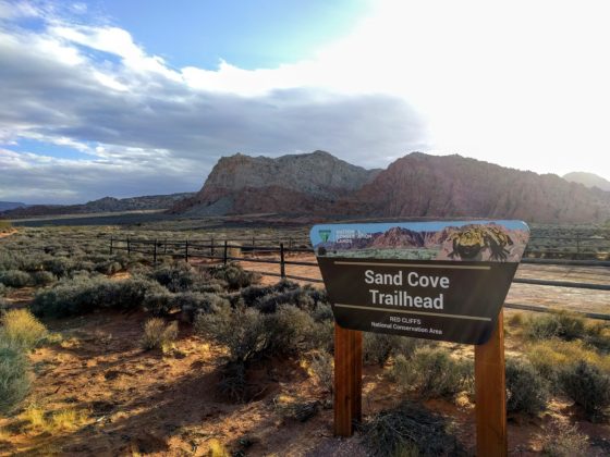
Approximately 2.9 miles from the turn-off you will reach the Sand Cove Trailhead parking area to your left.
There is a rough access road to get you to the Sand Cove Campground. If you are adventurous and have a high-clearance 4-wheel-drive vehicle, you may continue to the Sand Cove Campground via this access road. You can park and access the Arch Trail from there. Otherwise, begin your hike on the Flicker Trail from the Sand Cove Trailhead parking lot. For this hike, I did not venture onto the rough access road; I started the hike from the Sand Cove Trailhead parking lot.
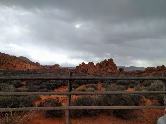
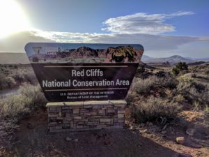 I set out for the Arch Trail in Babylon around 8:30 a.m. on a February morning. It took about 15 minutes to drive the 2.9 miles from the turn off past Leeds to the Sand Cove Trailhead parking lot. I was in a 4-Runner and had no problems, but the road can be rutted and sandy at times, so take precautions and come in an appropriate vehicle. The beautiful views on the drive to the parking lot itself make it worth the trip.
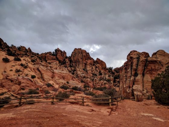
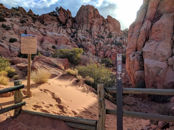
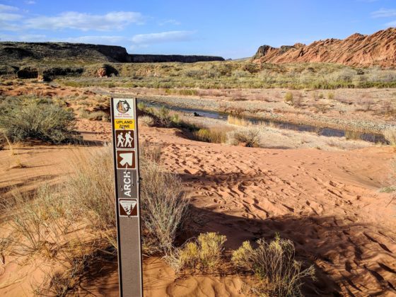
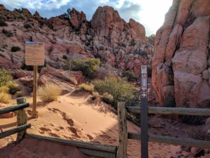 Once in the parking lot, there is an obvious step over that will take you along the Flicker Trail. This trail is an easy 0.2 mile hike that crosses a wash and will end at the Sand Cove access road. Make a right when you hit the access road and follow it about 0.4 miles until you reach the Sand Cove Campground. Following the wooden fence in the Sand Cove camping area will lead you to the Arch Trail stepover. The stepover is located in the southeast corner of the Sand Cove camping area.
FYI, this campground is a primitive camping area by permit only and is managed by the BLM. For more information on obtaining a permit call (435) 688-3200.
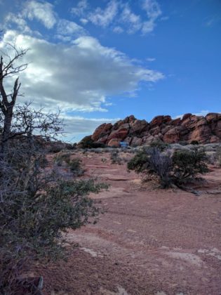
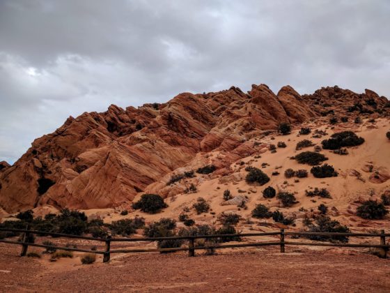
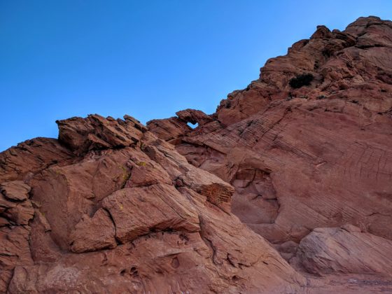
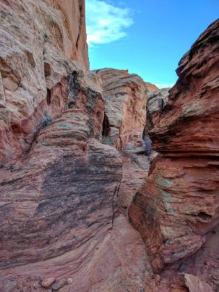
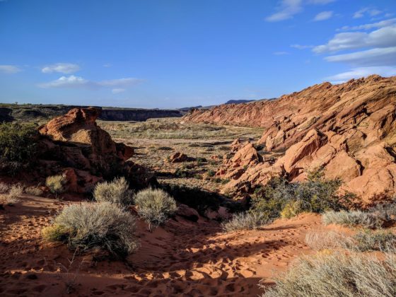
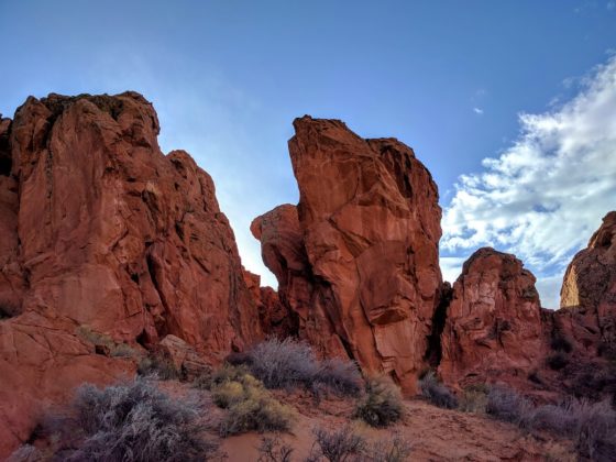
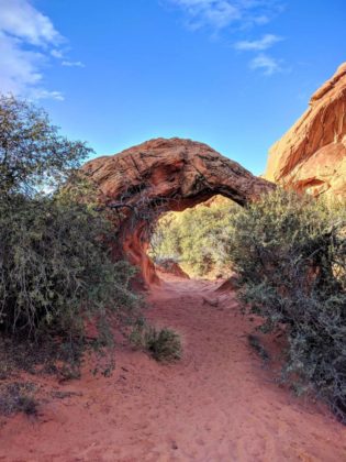
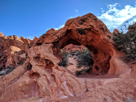
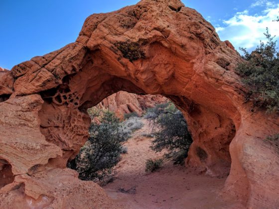
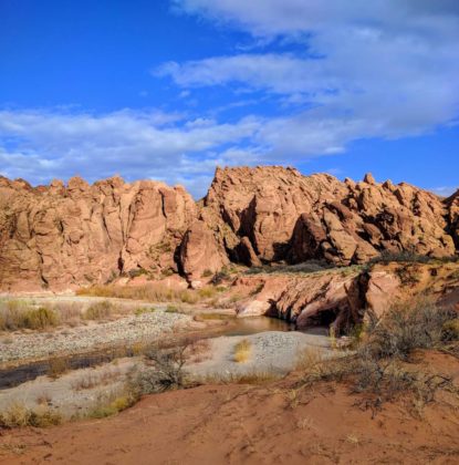
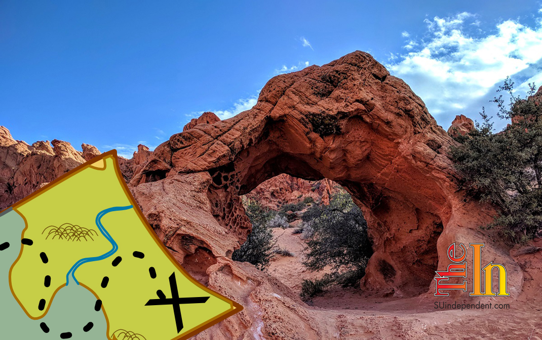
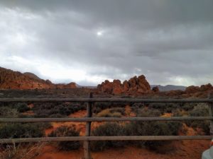 The Babylon Arch Trail is a wonderful opportunity for those seeking a little rock scrambling, sand playing, and the beauty of nature. It is family-friendly, including dogs, as long as the 4-legged family members are on a leash. Go slowly on your way down, and make note of surrounding rocks and features that will help you on your way back up the trail. You start off making your way through beautiful sandstone rock formations until you get to a short, steep, and sandy stretch of downhill. As fun as it is going down, please remember that you will have to make it back up as well, and especially in the heat of the summer, this could prove extremely difficult. It really can be two steps forward and one step back, and the sand has a tendency to scorch in the sun. This time of year, however, it was quite perfect. After making your way down the sand, the arch is not far. Following the trail will lead you right under the free standing sandstone arch, which is located about a mile from the Arch Trailhead. From there you can turn around and go back, but I suggest finishing the remaining half mile of the trail to get down to the Virgin River for a snack break. Listen to the water rush by for a few moments, and let the peace and quiet take away your worries.
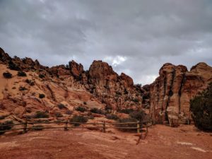 The trail only takes a moderate hiker around an hour and a half to hike, but you can spend hours checking out rocks made gorgeous from erosion and cross bedding. On the way back, you may get a bit mixed up, but I think that is part of the charm of this area. Everywhere you turn is beauty filled with an opportunity to explore and have a little fun. Make sure you have enough time and supplies like water and snacks to wind your way back to your vehicle, and don’t panic if you aren’t sure which way to go. This is a remote area with limited cell service. A map is very helpful and highly recommended to avoid getting disoriented. In the summer, start hiking early to avoid the heat, and bring more water than you think you’ll need. It is not the best marked trail, but there are a couple alternate routes getting you up the sand and through the rocks before you make it back to the Sand Cove Campground area.
On your return trip, be sure to keep left (west) at the unsigned junction with the primitive Sidewinder Trail to continue on the Arch Trail. Follow the Sand Cove access road through the campground area and back to the junction of the Flicker Trail, which will take you back to the main parking area.
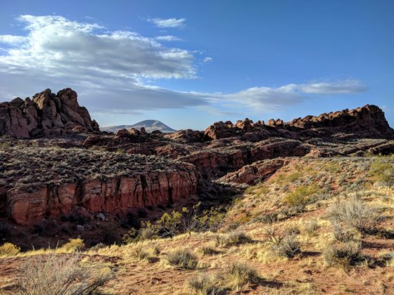
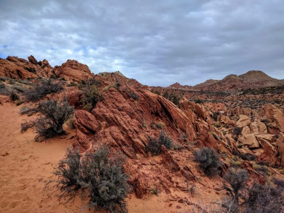
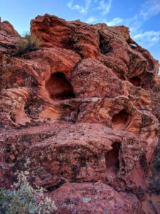 The rock formations you see throughout this hike (and essentially throughout the Red Cliffs Desert Reserve), are comprised of the older Kayenta sedimentary rocks (190 million years old) overlain with the younger Navajo Sandstone (183 million years old). You can see the Kayenta formation all around you as gentle slopes of tan, grey, and reddish shales, mud, and siltstone layers. This area of Utah was in between ancient mountain ranges in the mid-Jurassic, making this location a natural place for rivers and lakes to develop and leaving behind the silts and mud layers to create the Kayenta Formation — and also an ideal place for a dilophosaurus to walk along a muddy lake shore and leave behind some footprints!
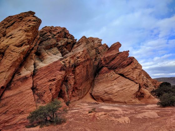
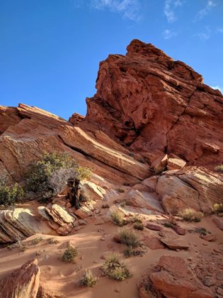
Directly above these Kayenta layers is the Navajo sandstone, easily discerned by their signature towering cliffs of red and white sandstone. These sandstones are the results of a climate change event occurring in the Cretaceous as the world’s continents combined into one super continent called Pangea. With all of the continents grouped into one large land mass on Earth, very little precipitation could make its way from the coastlines into the interior of Pangea, making for very dry conditions. This created a desert in the Cretaceous that was five times larger than today’s Sahara Desert, resulting in hundreds of miles of desert sand dunes covering ancient Utah. These sand dunes are still around us; they’ve been petrified! Look for them along this hike with a careful eye for the Navajo sandstone with the curved, crescent lines flowing through and along the rock surfaces. These patterns are called cross-bedding, and they indicate the surface of an ancient sand dune as it moved with the shifting winds, settled down, and then shifted again, creating another cross-bedding pattern.
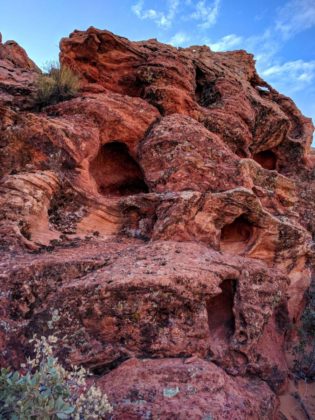
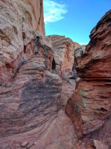 Along this hike, you’ll quickly notice other features of the Navajo sandstone as you progress further in elevation. Observe the reddish coloration and large blocky shapes within the sandstone and vertical cracks called joints. These joints are the result of stress and strain on the sandstone from nearby fault motions, allowing for weak vertical cracks to form. This sandstone is also being worn down by seasonal weather influences — from freezing ice during winter crumbling out individual sand grains and creating pot holes and popcorn-like surfaces along the sandstone surfaces — to the deluge of the summer monsoon rainfalls scouring out canyons and creating alcoves with their flash floods.
As the trail brings you to your destination of the free-standing arch, reflect on all the geologic processes you saw up to this point. Consider how this arch represents of all these processes beginning with ancient petrified sand dunes, becoming sandstone, then embedded by vertical joints from nearby faults, allowing for weak cracks for water, ice, wind, and lots of time to finally shape the sandstone into a free-standing arch!
Lacey McIntyre is Outreach Coordinator for the Red Cliffs Desert Reserve.

