
Article, video, and photos by Don Gilman
Hiking Southern Utah: Stoddard Mountain
Trail name: Duncan Springs Trail (for the first half, the rest is all off-trail)
The ascent of the remote and lonely Stoddard Mountain is a largely unknown gem of a hike that whisks one straight up the side of this impressive peak.
Location: Due east of Enterprise
Difficulty: Very strenuous
Length: Five miles round trip
Elevation Gain: 1,900 feet
Family-friendly: Older kids only. This is a mountain that in good weather provides a relatively moderate mountain climb that energetic, enthusiastic kids can accomplish. There is little to no exposure and only moderate scrambling, and while it gains nearly 2,000 feet of elevation, it does so in just 2.5 miles.

Dog-friendly: yes
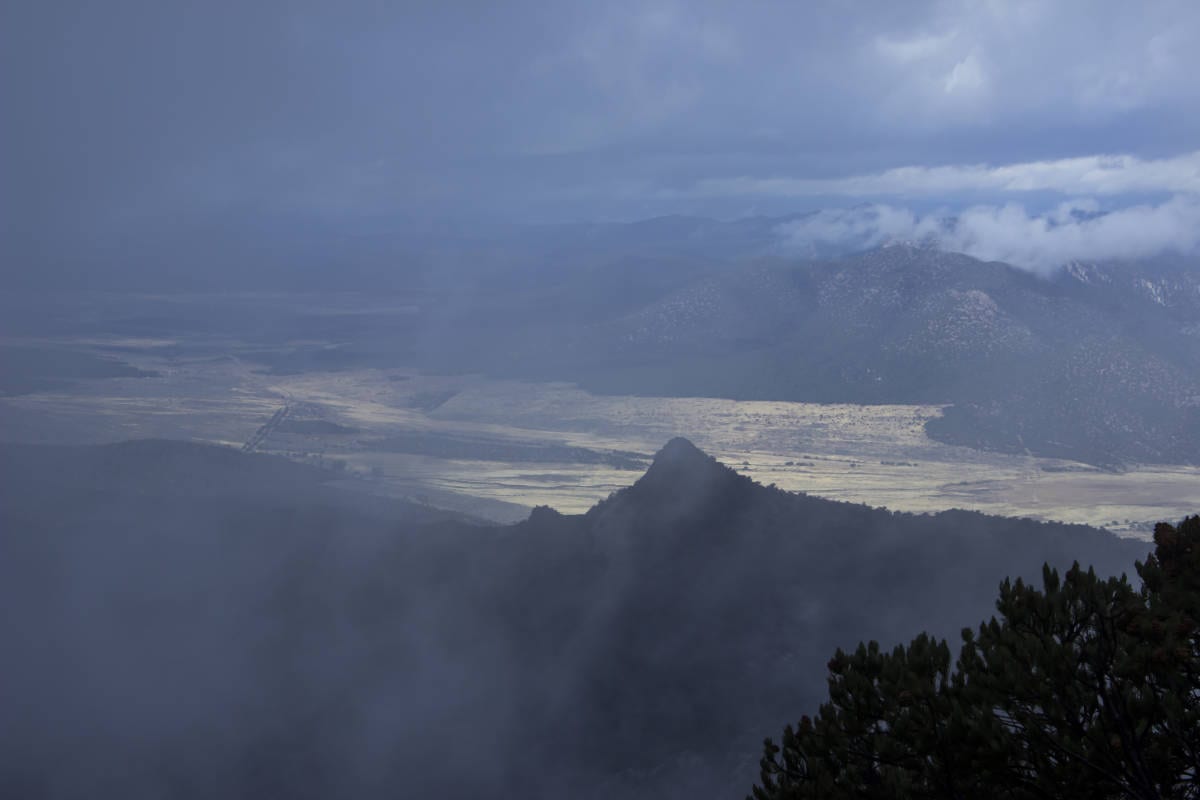
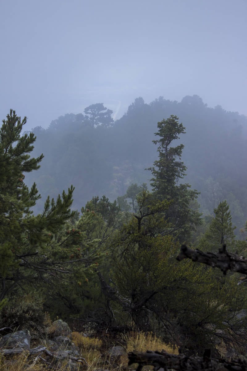
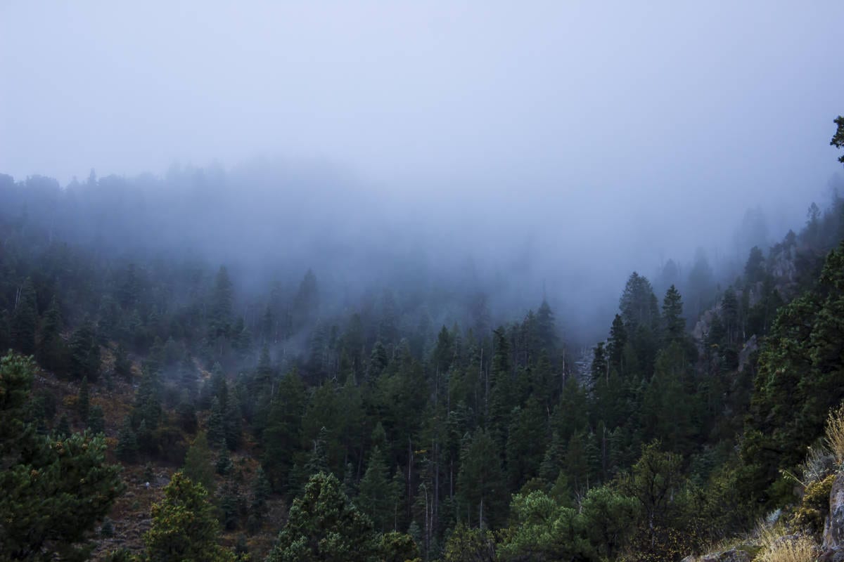
Special considerations: Since this route is largely off-trail, a map and compass and the knowledge of how to use them are a must. GPS is definitely helpful for maintaining the route, especially if the weather has closed in and visibility is limited, as it was when my friend and I hiked it on Oct. 18. The whole upper part of the mountain was cloaked in dense, gray clouds, and we were greeted on the summit with horizontal rain and cold wind. We did not enjoy stellar views that day, but it made the climb more adventurous and exciting. However, without my GPS that day (I actually forgot my map, left at home on the coffee table) we would have had a much more difficult time with routefinding.

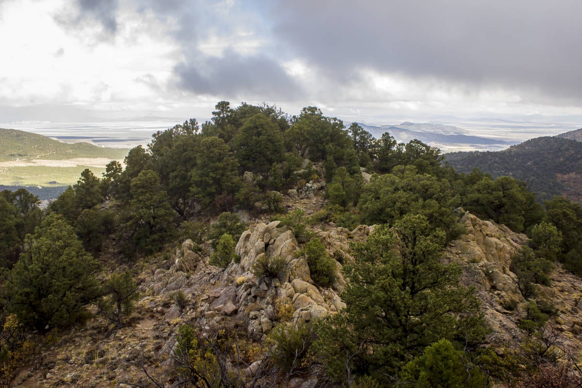
The ascent of the remote and lonely Stoddard Mountain is a largely unknown gem of a hike that whisks one straight up the side of this impressive peak. The first half of the hike is on a well-graded, maintained trail, while the second half follows game trails, faint climber’s paths, and numerous false summits before traversing a narrow ridgeline to the true apex of the mountain. Views north are of Iron Mountain and the iron mine at its base and to the west of the craggy sub-peaks clustered around the base of Stoddard. The views to the east are presumably spectacular with glimpses of the Kolob section of Zion (since we climbed it in a storm, the views to the south and east were completely obscured).
Access: To find the trailhead from St. George, drive north from the junction of Bluff Street and St. George Boulevard for 38 miles to the tranquil mountain town of Enterprise. Take a right (the road is still Utah State Route 18 at this point) and drive 2.7 miles. Take a right onto Bench Road for 8.8 miles to the town of Newcastle. Take a right on Utah State Route 56 and drive east for 12.2 miles. At the end of this section, Stoddard Peak should be looming in front of you. Take a sharp right onto Forest Access Road 009 (aka West Pinto Road) and drive for approximately 1.2 miles. A good sized equestrian-equipped trailhead is on the left. Park here.
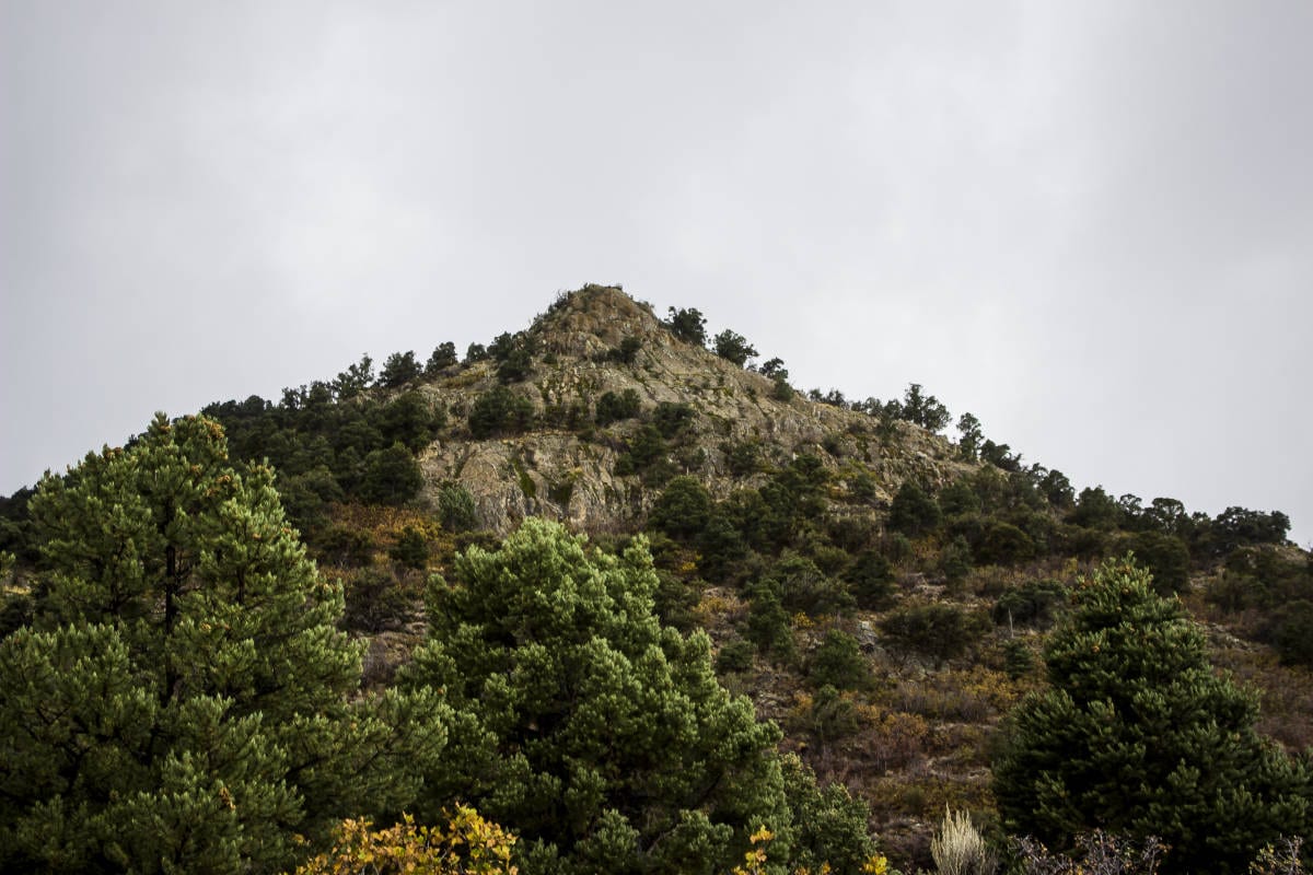
The trail starts out in a through the high-desert terrain of pinyon-juniper forest, heading into rolling hills for a short while before entering a lovely meadow after a quarter mile. The evergreens begin to alternate with scrub oak, which provides a colorful aspect to the hike in fall. The trail initially heads in a southeastern direction, but as it gains altitude, it swings around the side of a hill and leads south (after 0.7 miles). It then heads back west and south, and around 1.5 miles from the trailhead there will be a small cairn on the right (west) side of the trail. A faint game trail departs from here. A horn-shaped sub-summit looms above you. This is your first landmark. Only one mile separates you from the summit of Stoddard, but it is still a steep climb involving about 1,300 feet of elevation gain.

From here on out, the route will be linking deer trails and climbers paths, and the going is often rugged and steep. Begin ascending the slope beneath the sharp peak above, and then contour around and below the crag on its northeast side, heading in a southerly direction. The goal is to find your way to the saddle between the rock peak and the next sub-summit to the southwest. The saddle is a pretty spot with less brush and more crags. Take the time to scramble up to the apex of the rocky crag from the south. The last scramble is a little exposed but provides top-of-the-world views down to the north. Wedged in between the rocks of the summit of the little peak is a piece of plywood with the names of several climbers and “Baldy the dog.”
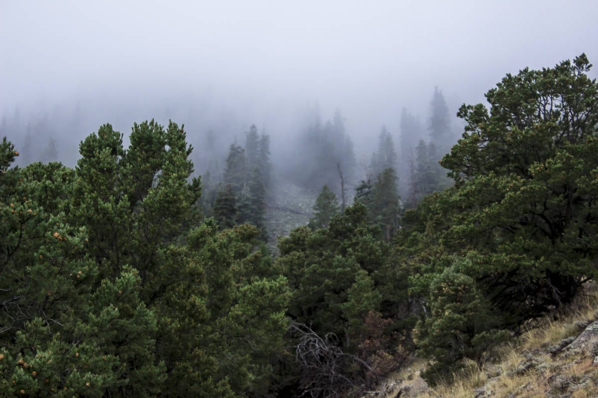
Head up the steep slope of the forested sub-summit to the southwest. There seems to be a decent but steep trail that runs up the north face of the mountain. It is a short distance, perhaps 1/8 of a mile to the top of this next sub-peak, but it gains a significant amount of elevation. This is where having a GPS and a topographical map of the mountain comes in handy. From the top of this next rise, a ridge leads all the way to the main summit, but in inclement weather (as we had) having both is vital.

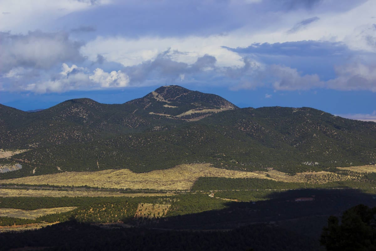
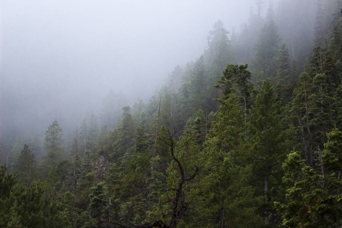
From this point, the way is simple: Follow the undulating ridge as it snakes its way south a little over half a mile to the apex of Stoddard Mountain. Notice the steep talus field that plunges down the east side of the mountain (my hiking partner and I climbed straight up this boulder field in pouring rain during our ascent.) The trees here transition from pinyons and junipers on the lower mountain to a combination of pinyons, junipers, scrub oak, tall firs, and aspens. Pass numerous false summits along the way, detouring around thicker sections of brush by dropping to the east side of the ridge. There are a few nice outcroppings of lichen-encrusted volcanic rock along the way. The actual summit is a forested knob with a small cairn and a summit register in a glass jar. Views to the south are blocked by some tall trees, but the views to the west should be spectacular in decent weather.
To return, the easiest route would be to retrace your steps back down the ridge to where the climber’s trail intersects with the Duncan Springs Trail. To extend the adventure, it would be possible to drop straight down the huge talus field on the east side of the ridge and try to intersect the Duncan Springs Trail from there, but be warned: The brush at the base of this steep boulder field is likely very dense.


