

Hiking Southern Utah: The Vortex
Article and photos by Ashley Gilreath
Trail name: The Vortex
Elevation gain: < 400 feet
Difficulty: Easy, minimal route finding
Length: 2.8 miles (varies depending on the path you take to hike up)
Access: Drive up State Route 18 towards Dammeron Valley. About 3 miles after the Red Mountain Trailhead sign at the north end of Dammeron Valley, you need to turn left (west) onto Sand Cove Road (gravel road) toward Sand Cove Reservoir. There will be a sign marking the turn. Stay on the dirt road past upper Sand Cove Reservoir and keep going. The road is dirt, but in good condition, and unless it gets muddy, you do not need a four-wheel-drive or high clearance. Follow the road down past the small powerhouse, which will appear on your left. Keep going until you see the canal on your right. It will pass under the road. Once you pass over the canal, the road forks. Instead of continuing straight, veer left. There is a small parking area back in the trees. Walk south toward the sandstone hills, and a lava rock trail will become visible.
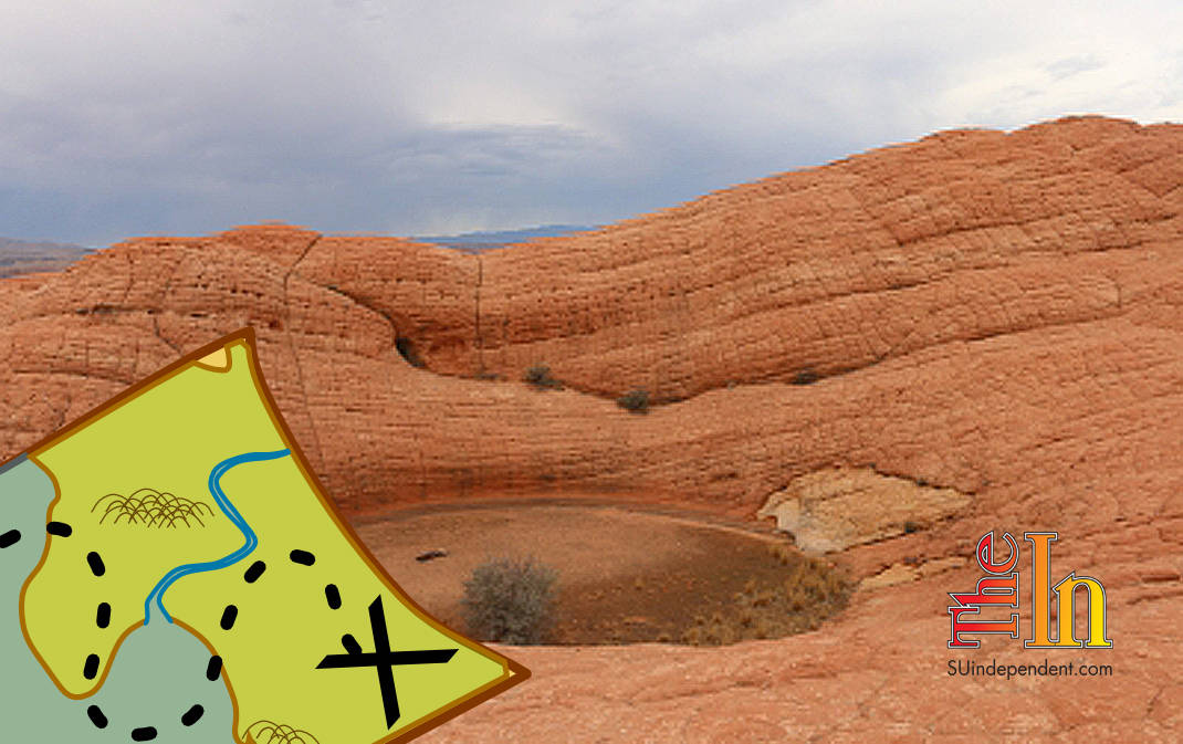
In Red Mountain Wilderness, there is a block of Navajo sandstone rising up between volcanic flows right outside of Upper Sand Reservoir. Called the Camelback for the two little humps of sandstone on top, it is full of fun Slickrock to explore. It also has a few giant potholes on top (for those of you who have not seen a pothole, it is literally a giant hole in the rock). The largest and most distinct is called the Vortex, or Cowboy Potty.
An informal trail starts from the dirt parking area, making it easy to find the Vortex, even though this is an undeveloped area with no official signage. If you are new to hiking these kinds of trails and looking to practice your navigation skills, this is a good place to start because you can see the parking lot from any high point. The trail winds down and through a huge flow of volcanic rock, a vibrant contrast with the red and white sandstone behind it. At this point, it does get quite sandy, but it is a short distance before you get on Slickrock. There are also some fantastic examples of biological crust, so please stay on the trail and do not bust the crust.
Once through the flow, the trail travels up a wide expanse of patchwork sandstone similar to what you see at Checkerboard Mesa in Zion. The trail starts to disappear on the Slickrock, but you can follow the general path up the canyon. On the way up, there are a dozen small potholes lining a seasonal stream. Despite the summer heat, there is still water in most of them, supporting hundreds of little tadpoles.
 Unknown to most people, potholes are actually full of life and support tiny creatures that cannot survive elsewhere. In fact, potholes exist because of tiny organisms that, to put it simply, eat parts of the sandstone. Often, other organisms then create a film that allows the potholes to hold water for a long time without it soaking into the sandstone. This is why it is so common to see water-filled potholes even when it has not rained in a long time.
Past these little potholes, the trail reappears and winds the rest of the way up the Camelback. Once on top of the rocks, there is a fantastic view of the mountains and surrounding area. With this perspective, it is clear how the lava once flowed through the area out of the cinder cones dotting the landscape.
At this point, the trail again fades to Slickrock. You need to head slightly east across the top of the rocks towards two white points of sandstone (the “humps” the Camelback is named for). First, there is a shallow pothole filled with dirt and plants. It is unclear how deep this pothole actually is; it could be twice the size of the Vortex and just filled with dirt over the years.
Just past this pothole is the Vortex. A good 20 feet deep, the Vortex is dotted with carved names from previous visitors. Some of the names are more recognizable than others, while some are simply old. The Vortex is conveniently positioned with a backdrop of the Camelback that really puts the sheer scale of the pothole into perspective. It is possible to climb to the bottom if people are careful about where they choose to climb down.
Once up to the Vortex, you can continue exploring the area and head over to the humps that give Camelback its name or head back the way you came.
Articles related to “Hiking Southern Utah: The Vortex”
Hiking Southern Utah: Chinle Trail in Zion’s West Desert Backcountry


