Hiking Southern Utah: Zion Canyon Overlook
Written by Bo Beck and Tanya Milligan
Trail name: Canyon Overlook Trail
Difficulty: easy
Length: 1-mile round-trip
Elevation gain: 163 feet
Family-friendly: yes
Dog-friendly: no
If you are looking for a high-elevation viewpoint but do not want to tackle grueling trails like Observation Point and Angels Landing, then the Canyon Overlook Trail is ideal. It is easy for most adults and moderate for young kids. There are myriad hoodoos and wildflowers along the way to amuse children, but keep your kids close to you and safe while hiking. There are high elevation drop-offs and exposed cliffs, but most are guarded by steel railing.
This hike is tolerable during the hottest parts of a summer day, but due to exposure to full sun this time of year, it would be more enjoyable in the morning or late evenings. This is a great winter trail, but do not attempt it if there is moisture or ice on the trail. Do not throw any objects from the trail into the canyon. There are often canyoneers and hikers below, and falling objects might cause serious injury or even death.
Parking is limited but it should be easier to find a spot early or late in the day, which happens to be ideal times to hike this trail. If the small lot located directly across from the trailhead is full, there is more parking just east of it. RVs will have difficulty finding parking.
Access: The Zion-Mt. Carmel Highway is open 24-hours a day, seven days a week, allowing year-round access. The trailhead is located along the Zion-Mt. Carmel Highway on the east side of the Zion-Mt. Carmel Tunnel. From the east entrance, it is 5.4 miles to the trailhead and from the south entrance, it is 6 miles. The shuttle does not travel to this trailhead.
The landscape of Zion deviates dramatically along the remarkable Zion-Mt. Carmel Highway, a narrow, 12-mile winding road that allows passage from the south entrance to the east entrance of the park. The east side of this Utah national treasure looks like giant children played in a sandbox, leaving their creations frozen for all time, giving this large corner of Zion a unique and distinctly different character than that of the main canyon. From the south, you will ascend six switchbacks to climb 800 feet from the canyon floor to the tunnel in less than four miles.
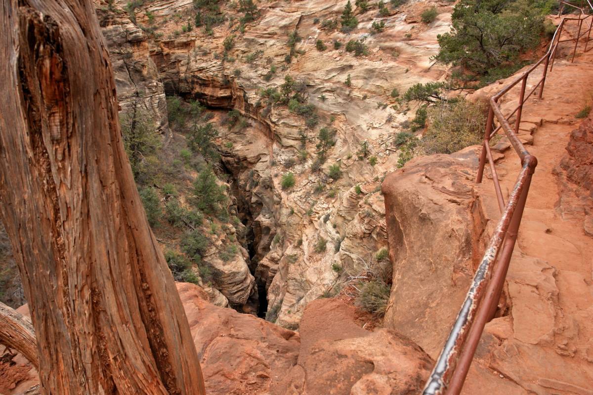
Between the switchbacks and the sandbox, about midway along the highway, the scenery is interrupted unexpectedly by a 1.1-mile-long tunnel that was literally chiseled through an unnamed mountain during a three-year-long project that included the construction of both the road and the tunnel. The construction continued despite its creation during an era of hardship that included the Wall Street Crash of 1929 followed by the Great Depression. The completion of the tunnel was announced on July 4, 1930. In November 1933, the Civilian Conservation Corps completed the construction of what was once called the Great Arch Trail.
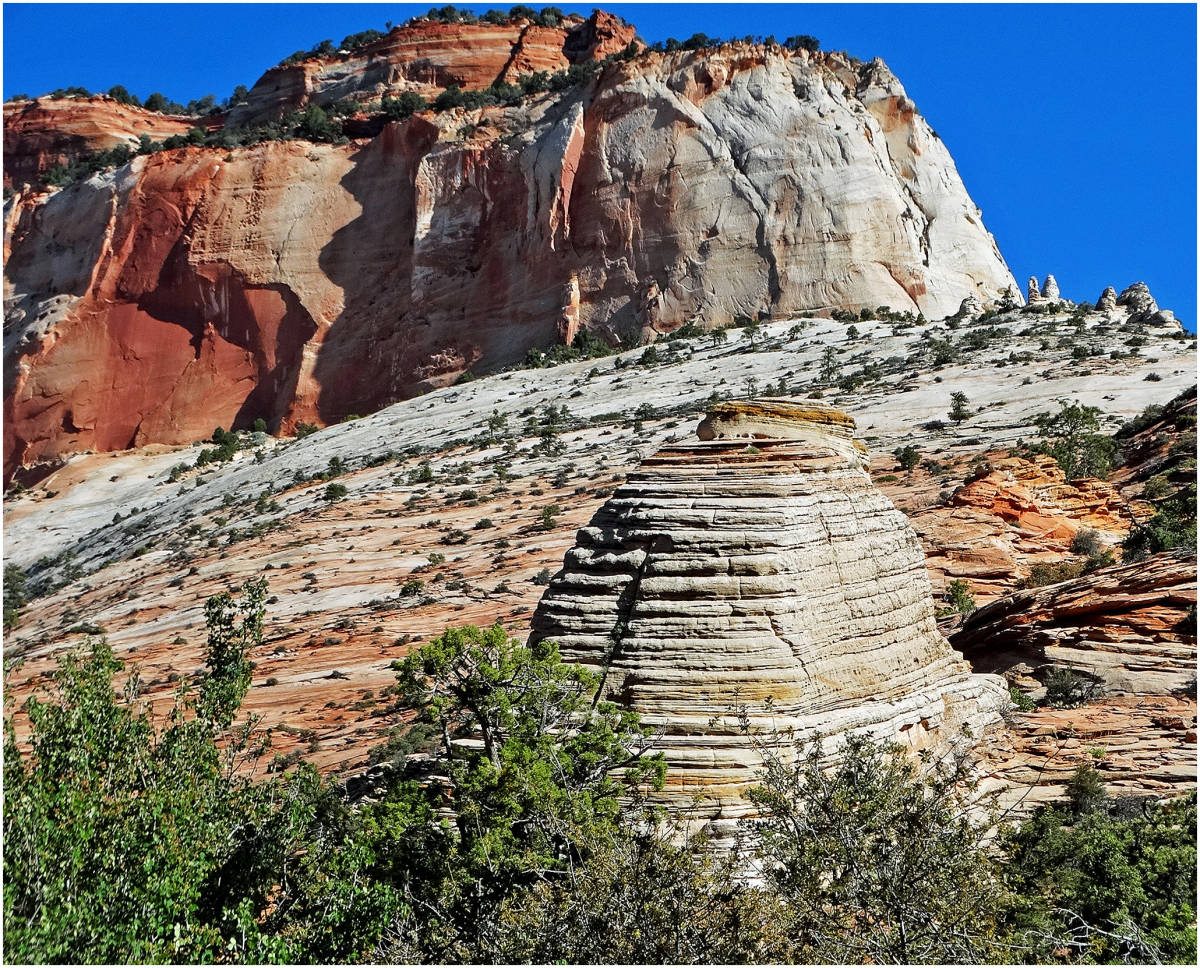
Today, it is known as the Canyon Overlook Trail. This delightful adventure is located immediately east of the Zion-Mt. Carmel Tunnel. It begins with charming steps carved into sandstone that rise above the long tunnel, allowing hikers to mosey along the easy half-mile path to a spectacular high elevation view of lower Zion Canyon. If your timing is right you may even see some bighorn sheep, which characteristically are fond of this Slickrock side of Zion.
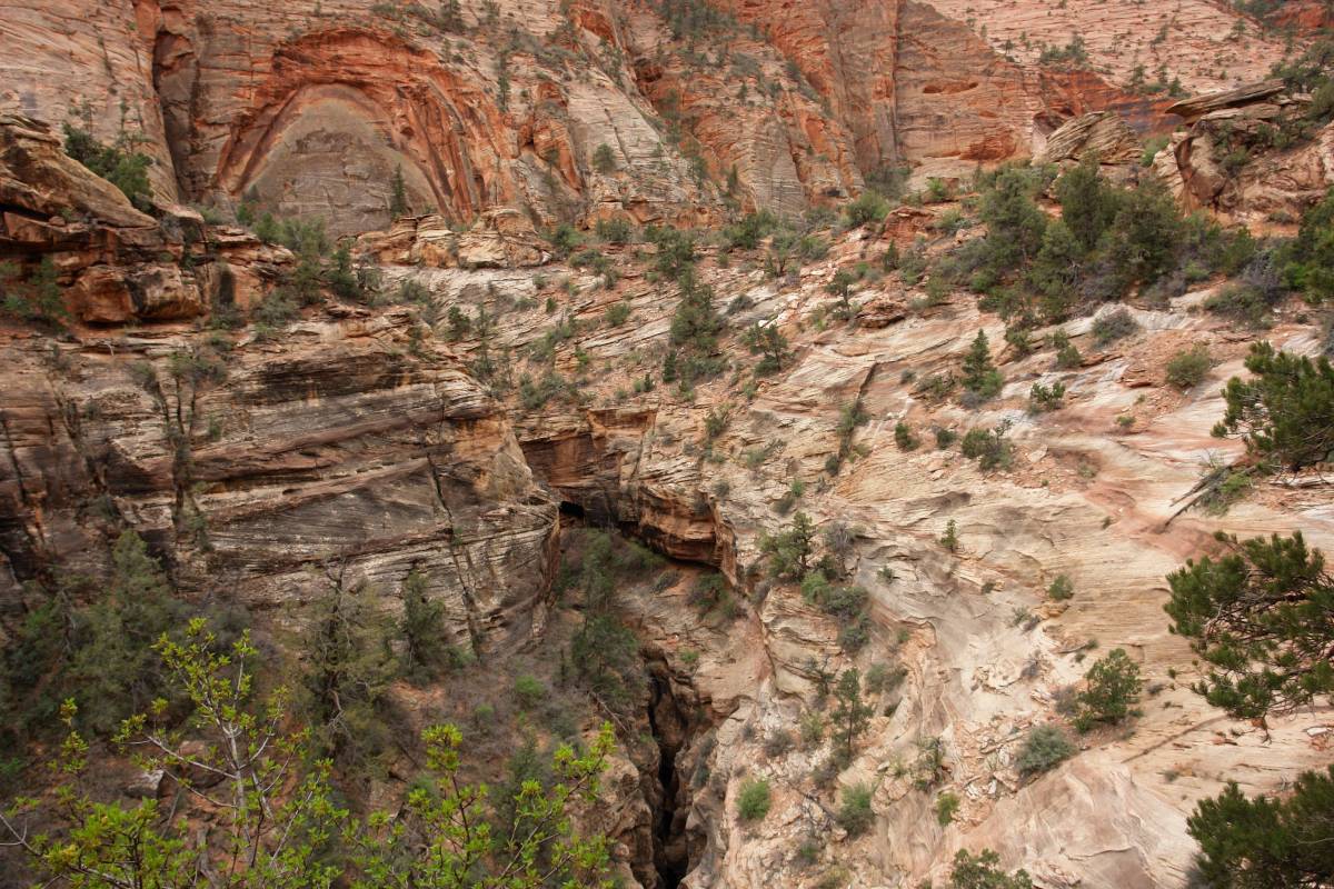
Follow the charming rock steps by the ranger booth, which is on the east side of the tunnel. Below and along the early part of the trail is a long, dark, curvy slit in the rock, which is Pine Creek Canyon. Be very quiet and you might be able to hear canyoneers below as they rappel into and swim various pools in the slot canyon and perhaps even see one of the rare nesting Mexican Spotted Owls. The trail continues to a charming alcove adorned with maidenhair fern. Some will enjoy resting beneath the cool, shady overhang where water seepage supplies fern and other flora with needed moisture.
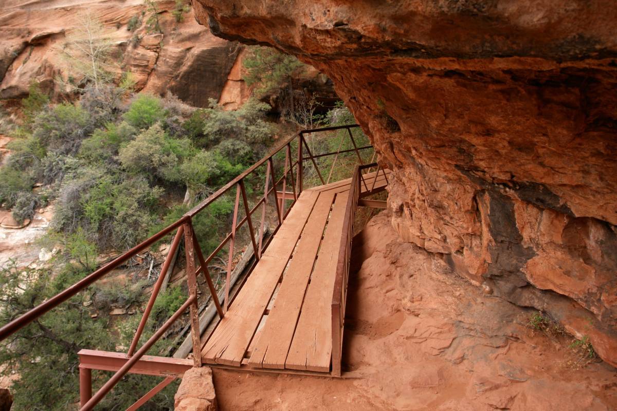
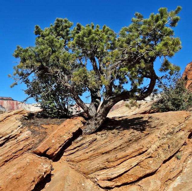
A recessed rock fall lies just beyond the alcove. It is interesting to note that there are often rock falls in Zion, but they are generally small, and most of the falling sandstone disintegrates upon impact, eradicating any evidence. The trail continues climbing amid odd-shaped rock towers, called hoodoos, that are seen in just about every direction. As you near the tunnel’s smaller window, be alert to the caw of ravens that seemingly guard entry to the stony, half-circle-shaped aperture.
There is a short section where the path winds closely along the cliff edge where children should be watched extra carefully; then, finally, a mound of Slickrock hiding the trail’s end will come into view. When the trail culminates, you will be standing on a flat-surface shoulder of the East Temple atop the Great Arch, so the arch is literally beneath you, and cannot be seen except from the switchbacks far below.
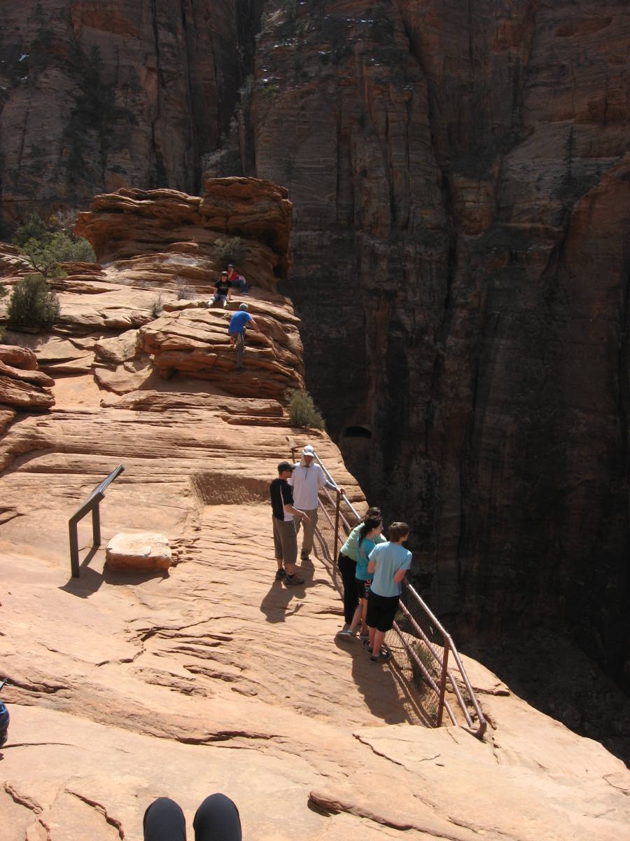
From the end of the path, the sight is breathtaking with an impressive view of towering sandstone cliffs looming in the distance. A flat metal plaque near the fenced cliff edge identifies visible landmarks, including a large crown of rounded sandstone. This tuft of temple cap is the white turbines of the Beehives. The surrounding monoliths are displayed in hues of red and white, which crowd around the stark white Beehives. The tallest cliff seen is the West Temple, and to its right are the Towers of the Virgin and the Streaked Wall. You will also be able to see the Sundial, the Altar of Sacrifice, and the East Temple. To the left is the tall mountain called Bridge Mountain. Notice the nest of hoodoos to your left where hikers often sit gazing down into lower Zion Canyon.
Tanya Milligan and Bo Beck are the authors of the 2011 book “Favorite Hikes In & Around Zion National Park,” the ultimate year-round hiking guide for all ages and skill levels that covers 50 spectacular hikes within a 100-mile radius of Zion’s east side — the heart of canyon country. Available on Amazon and at The Desert Rat and other fine retailers.


