
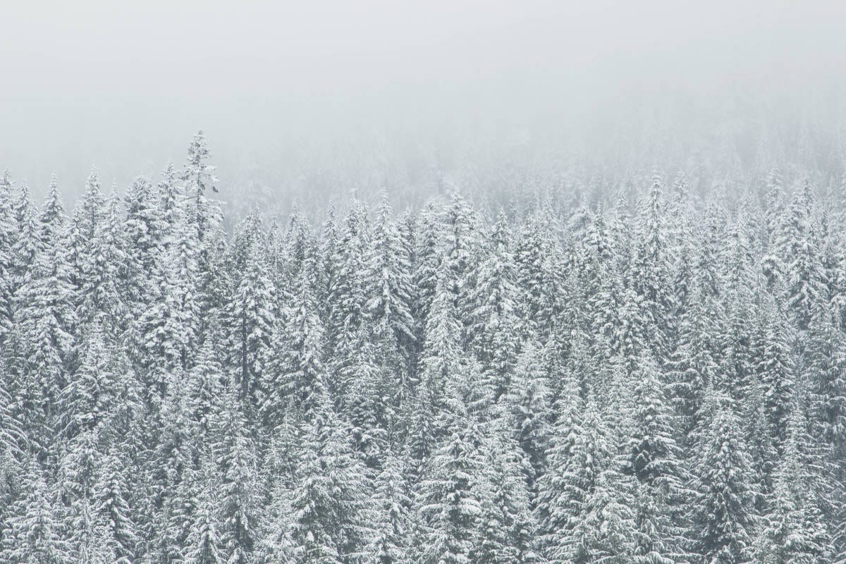

Get ready for a white Thanksgiving. Cold weather and possible snow are expected to impact the area the day before the holiday.
The National Weather Service in Salt Lake City has issued a severe weather special statement along with a hazardous weather outlook for the most of the state, including southwest Utah.
The special weather statement is for the Cache Valley, Utah segment of the northern Wasatch Front, Salt Lake and Tooele Valleys, the southern Wasatch front, the Great Salt Lake desert and mountains, the Wasatch mountain valleys, the Wasatch mountains near Interstate 80 north, the Wasatch mountains south of Interstate 80, the western Uinta mountains, the Wasatch plateau and Book Cliffs, the western Uinta basin, Castle Country, the San Rafael Swell, the Sanpete and Sevier valleys, west-central Utah, southwest Utah, Utah’s Dixie and Zion National Park, south-central Utah, Glen Canyon Recreation area including Lake Powell, plus the central and southern mountains.
Included in the forecast are the cities of Logan, Smithfield, Brigham City, Ogden, Bountiful, Salt Lake City, Tooele, Lehi, Provo, Nephi, Wendover, Snowville, Huntsville, Park City, Heber City, Woodruff, Randolph, Alta, Brighton, Mirror Lake Highway, Scofield, Duchesne, Roosevelt, Price, Castle Dale, Emery, Green River, Hanksville, Manti, Richfield, Delta, Fillmore, Beaver, Cedar City, Milford, Saint George, Kanab, Escalante, Bullfrog, Cove Fort, Koosharem, Fish Lake, Loa, Panguitch, Bryce Canyon and Evanston.
Winter weather is likely to impact the forecast areas. Beginning Wednesday, Nov. 25, cold, snowy conditions are likely to return. Difficult travel conditions may occur, including I-15 and I-80 across eastern Utah.
Snowfall is expected to have the greatest impact Wednesday afternoon and into Wednesday night, although the exact timing as of now is still unknown. Holiday travelers should pay close attention to forecasts and adjust their plans accordingly.


