
 The National Weather Service in Salt Lake City, UT has issued a wind advisory which will be in effect from 6 a.m. to 5 p.m. MST Thursday, Feb. 18.
Affected areas include Dixie, South Central Utah, the Central and Southern Mountains, Cache Valley, Sanpete and Sevier Valleys.
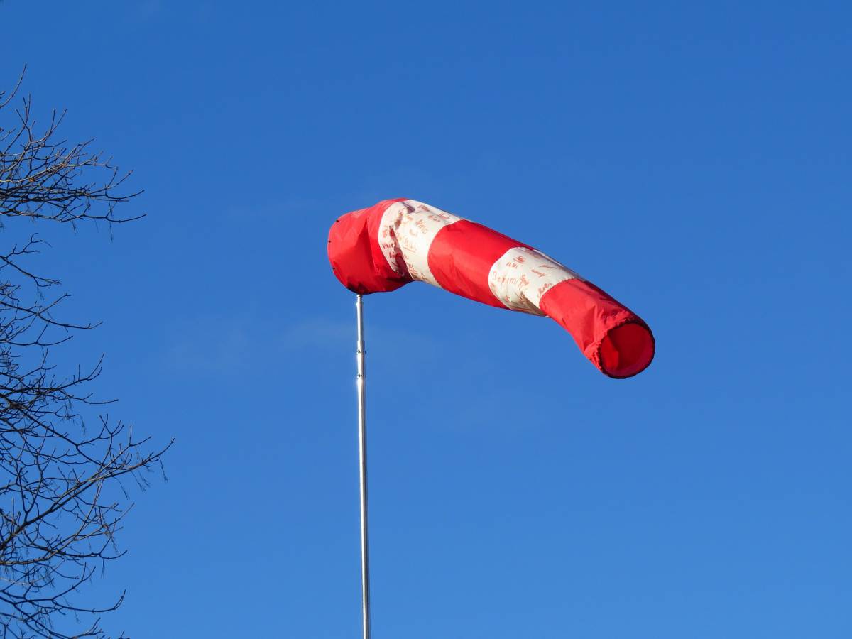
Winds are expected south to southwest 25 to 35 mph with gusts up to 50 mph in the valleys and 30 to 40 mph with gusts in excess of 60 mph in the mountains during the morning. Winds will shift to the west to northwest during the afternoon hours with the passage of a cold front.
Winds will increase overnight becoming strong during the morning ahead of the cold front. The front will move through Northern Utah around midday and through central and Southern Utah during the afternoon, and winds will remain strong for a short time behind the front before decreasing during the afternoon.
Strong winds will make driving difficult especially for lightweight and high profile vehicles along most routes through Utah including I-15 and I-70.
Precautionary/Preparedness actions
A wind advisory means that sustained wind speeds of at least 31 mph or gusts of 45 mph are expected in the valleys and sustained wind speeds of at least 40 mph or gusts of 58 mph or greater are expected in the mountains. Motorists in the advisory area should be prepared for sudden gusty cross winds which can make driving difficult.
FOR MORE INFORMATION FROM NOAA/NATIONAL WEATHER SERVICE VISIT…
HTTP://WEATHER.GOV/SALTLAKECITY
FOR INFORMATION ON POTENTIAL TRAVEL IMPACTS VISIT…
HTTP://UDOTTRAFFIC.UTAH.GOV/ROADWEATHERFORECAST.ASPX


