
 ===============================
Severe Watches and Warnings for Saint George
===============================
URGENT – WEATHER MESSAGE
National Weather Service Salt Lake City UT
438 AM MST Sun Feb 18 2018
…WIND ADVISORY IN EFFECT FROM 9 AM THIS MORNING TO 9 PM MST
THIS EVENING…
The National Weather Service in Salt Lake City has issued a Wind
Advisory, which is in effect from 9 AM this morning to 9 PM MST
this evening.
* AFFECTED AREA…The Sanpete and Sevier valleys, central and
southern mountains.
* WINDS…Southwest winds 25 to 35 mph with gusts around 50 mph,
with 80 mph gusts near ridges and in mountain passes.
* TIMING…Winds will increase this morning then remain strong and
gusty into this evening before diminishing.
* IMPACTS…Strong cross winds will make high profile vehicles
difficult to handle. Visibility will be locally reduced in
blowing dust. Wind sensitive activities will be affected.
PRECAUTIONARY/PREPAREDNESS ACTIONS…
A Wind Advisory means that sustained wind speeds of at least
31 mph or gusts of 45 mph are expected. Motorists in the advisory
area should be prepared for sudden gusty cross winds which can
make driving difficult.
&&
For more information from NOAA/National Weather Service visit…
http://weather.gov/saltlakecity
For information on potential travel impacts visit…
http://udottraffic.utah.gov/roadweatherforecast.aspx
===============================
Severe Watches and Warnings for Saint George
===============================
URGENT – WINTER WEATHER MESSAGE
National Weather Service Salt Lake City UT
353 PM MST Sat Feb 17 2018
…WINTER STORM WARNING IN EFFECT FROM 5 PM SUNDAY TO 9 PM MST
MONDAY…
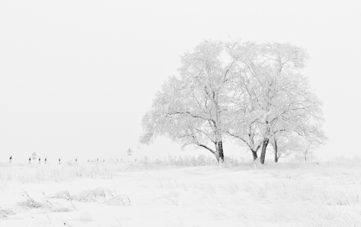
* WHAT…Heavy snow. Total snow accumulations of 6 to 12 inches
with locally higher amounts along I-15.
* WHERE…The Southern Mountains of Utah.
* WHEN…From late Sunday afternoon through Monday evening.
* ADDITIONAL DETAILS…Those planning to travel from late Sunday
into Monday evening should be prepared for winter driving
conditions including snow covered roads and reduced
visibilities. Strong gusty winds may result in areas of blowing
and drifting snow for a few hours along and behind the cold
front.
PRECAUTIONARY/PREPAREDNESS ACTIONS…
A Winter Storm Warning for heavy snow means that significant
accumulations of snow are expected or occurring. Driving
conditions may be hazardous. Use caution. Keep a winter storm
survival kit in your vehicle in case of an emergency.
For winter road conditions from the Utah Department of
Transportation, visit
http://www.udottraffic.utah.gov/roadweatherforecast.aspx or dial
511.


