

Location: Dixie National Forest about three miles from Leeds.
Difficulty: Easy well marked trail with little elevation change.
Average Hiking Time: Less than one hour at a leisurely pace with many stops. The hike is about .6 mile round trip.
Family Friendly: Yes, an easy hike even for small children.
Finding the Trailhead: From St. George travel north on Interstate 15, departing the freeway at Exit 22 near Leeds. Set your odometer to zero where the exit ends. Turn left (northeast) and proceed up Leeds main street, strangely enough it is called Main Street, (aka Highway 228) paralleling the Interstate for approximately 1.5 miles and then make a left turn (northwest) onto Silver Reef Road that goes under Interstate 15. Stay on this road for 1.1 miles (2.6 miles from Exit 22) as it becomes Oak Grove Road. Approximately .5 miles further (3.1 miles from Exit 22) Oak Grove Road magically becomes Forest Road 032, a good dirt road. At 4.7 miles from Exit 22 (3.2 miles along Silver Reef Road/Oak Grove Road/Forest Road 032) is a fork in the road—take the right (north) fork, Forest Road 032 to Oak Grove Campground. Approximately 1.1 miles from the fork (5.8 miles from Exit 22), and after crossing Leeds Creek bridge, is a signed small parking area (large enough for five cars) and trailhead on the right (east). There are no bathrooms at the parking area/trailhead.
If going south on Interstate 15, take Exit 23 near Leeds. Then turn right onto Silver Reef Road and follow the directions above.
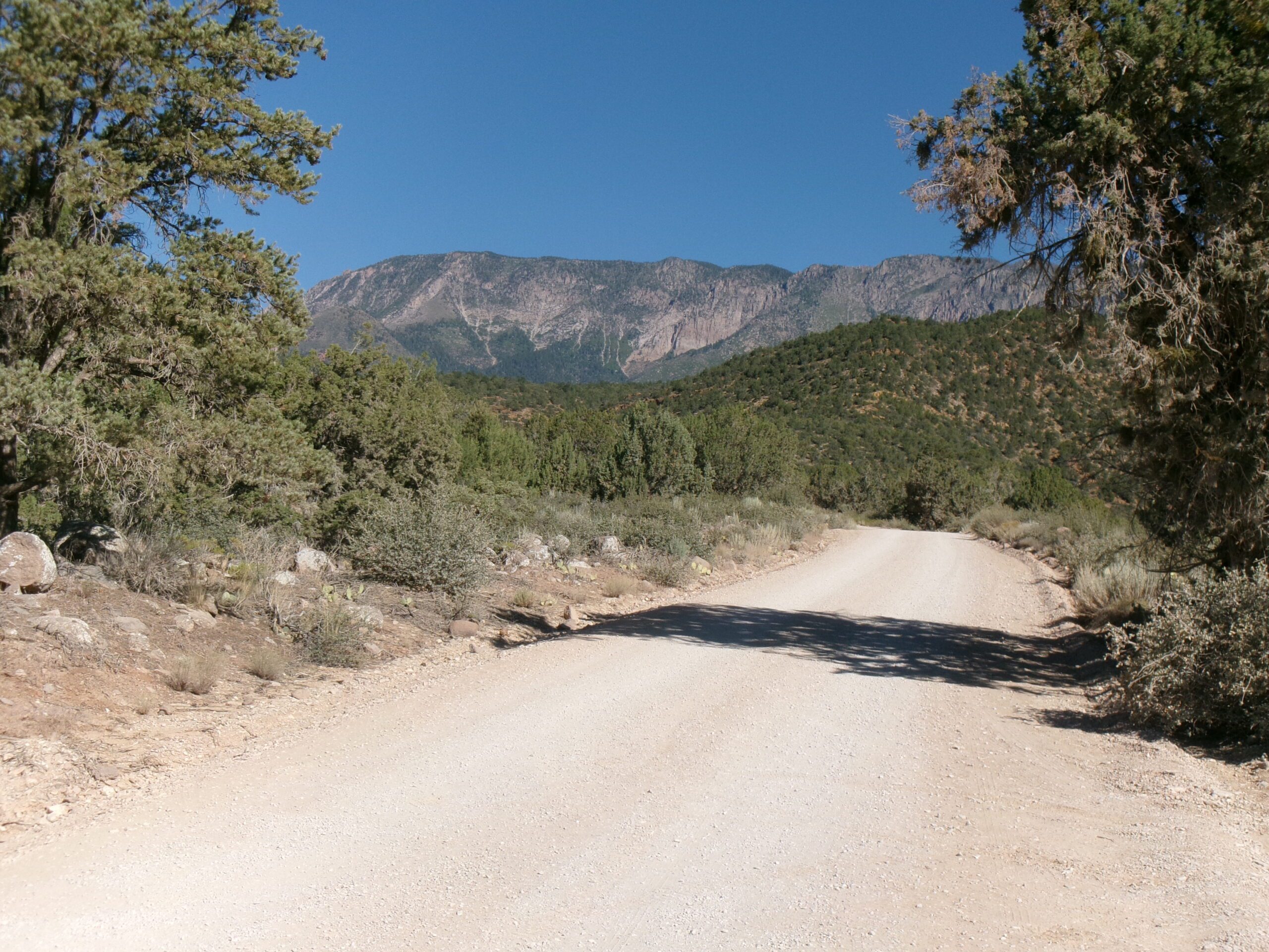
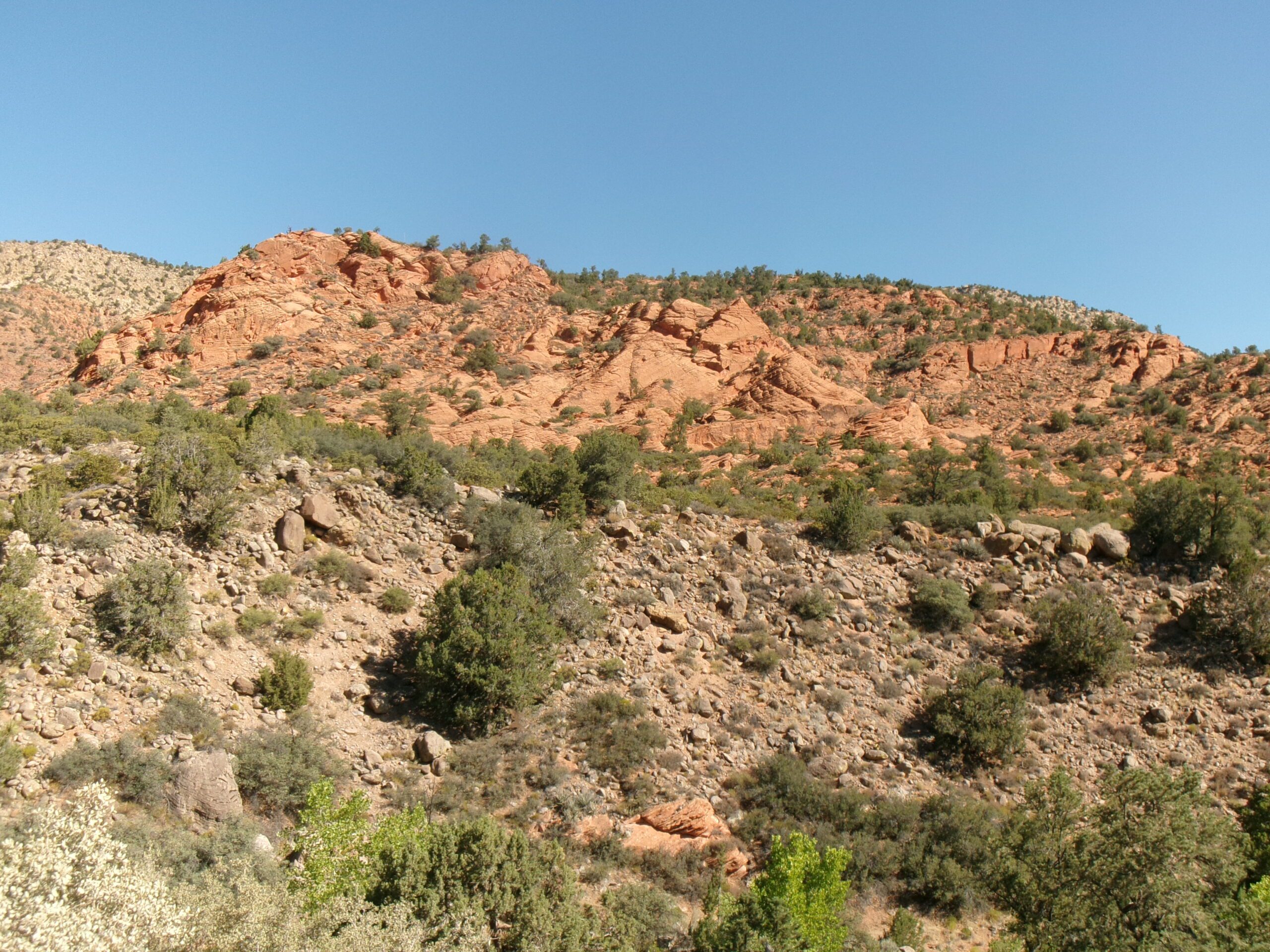
Forest Road 032 is a good dirt road. While a high clearance vehicle is advisable, a regular sedan can easily travel this road. When the road is wet a 4-wheel drive vehicle is a must. We stopped a few times along Forest Road 032 to admire the views of red mountains and forested mountains.
Need a break from the summer heat along with some local history and great mountain and woodland views? If yes, the easy Leeds Creek Kiln Trail hike (aka Children’s Forest at the Kiln Trail) may be for you. While not far from St. George, this short hike is almost 2,000 feet higher elevation than the St. George area. Hence, the hike is a bit cooler, about five degrees.
Leeds Creek Kiln Trail is located in the southern portion of Dixie National Forest, managed by the US Forest Service, a few miles northwest of the town of Leeds. Headquartered in Cedar City, Dixie National Forest occupies almost two million acres and stretches for about 170 miles across southern Utah.
We, my wife Deb and I, began our trip on a mild early July mid-week morning. We arrived at the trailhead about 9:00 am under clear deep blue Utah sky with the temperature in the low 70s. The trailhead elevation is 4,592 feet with a 43 feet elevation change from the highest to lowest point along the trail. There is a picnic table about 150 yards along the trail on the left, but no bathrooms.
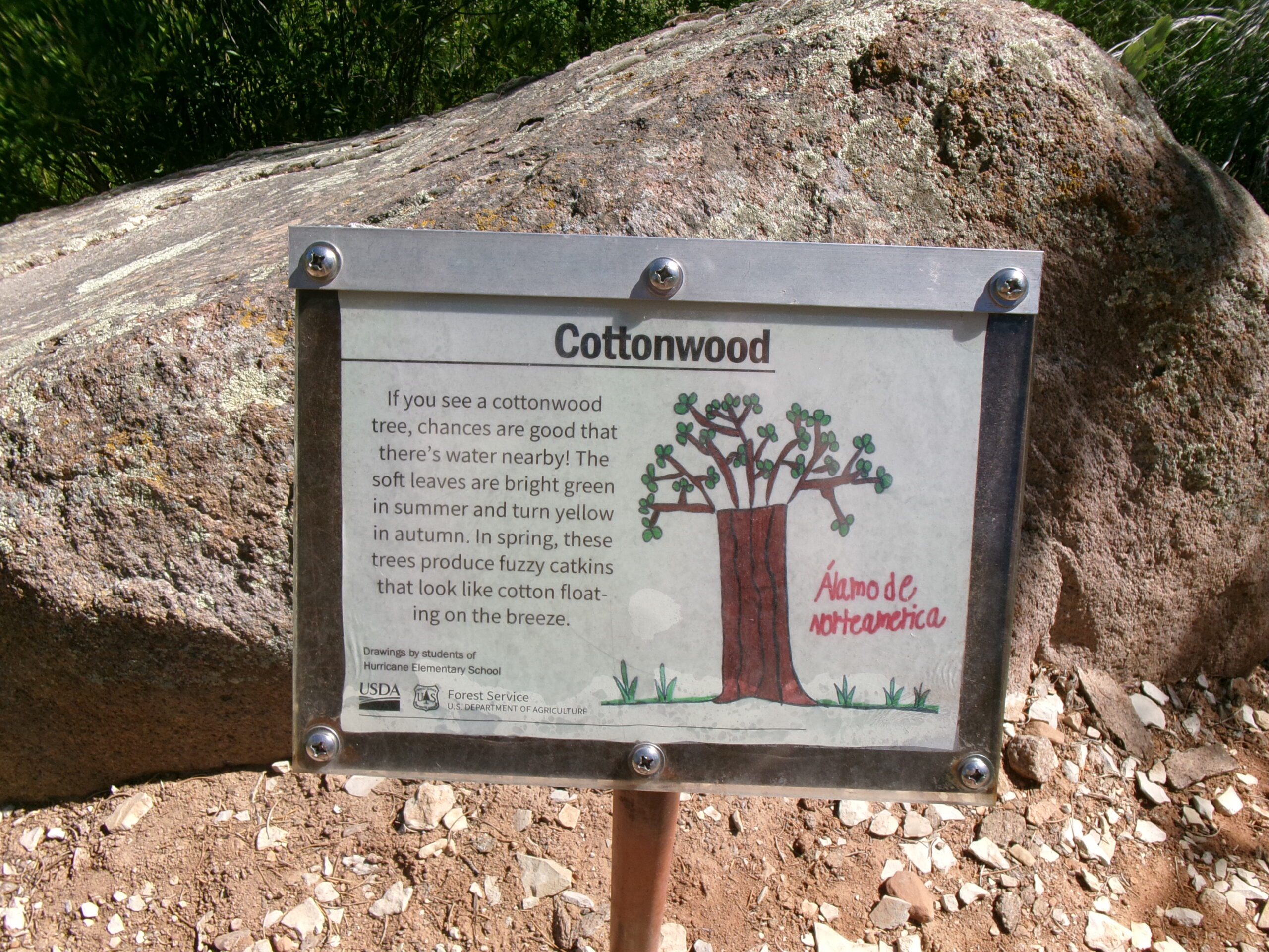
We began by heading northeast. The trail is well maintained gravel, easy to follow. We stayed on the main trail, rock borders along both sides of the gravel trail. The Forest Service placed plaques next to and describing native plants along the way. The drawings on the plaques were done by local elementary school students. This includes information about Mormon Tea, Juniper Trees, Cottonwood Trees and many others—a good idea and educational. The forest can be described as a “pigmy forest” because most of the trees and shrubs are short rather than the tall trees we usually think of as a forest.
Well before reaching the picnic table, maybe 25 yards from the trailhead, another gravel trail with rock borders intersected the main trail from the right (south). This is the end of the loop trail we would take after visiting the kiln. The beginning of the loop is on the right (south) about 160 yards from the trailhead, just after a metal bench on the trail.
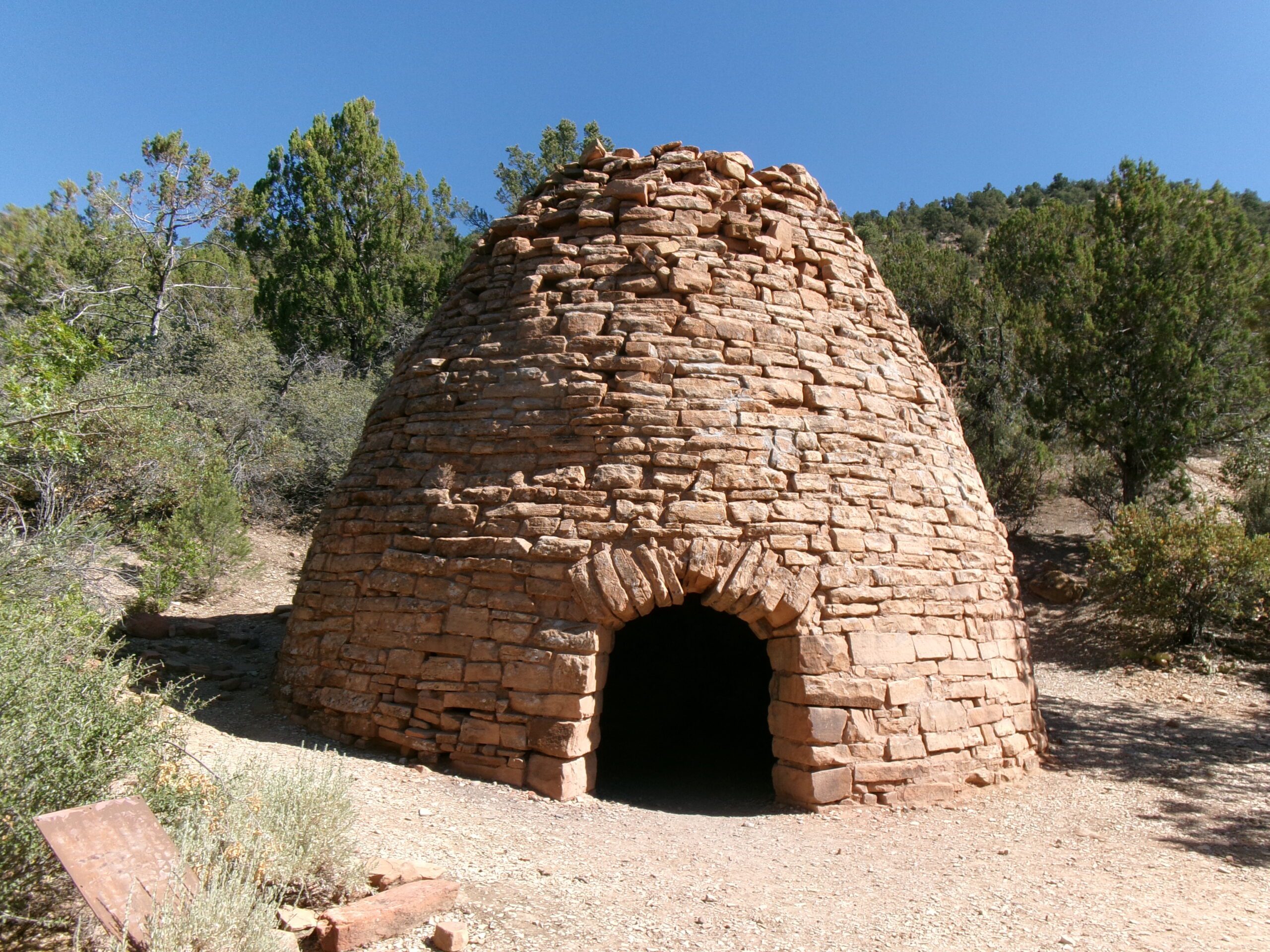
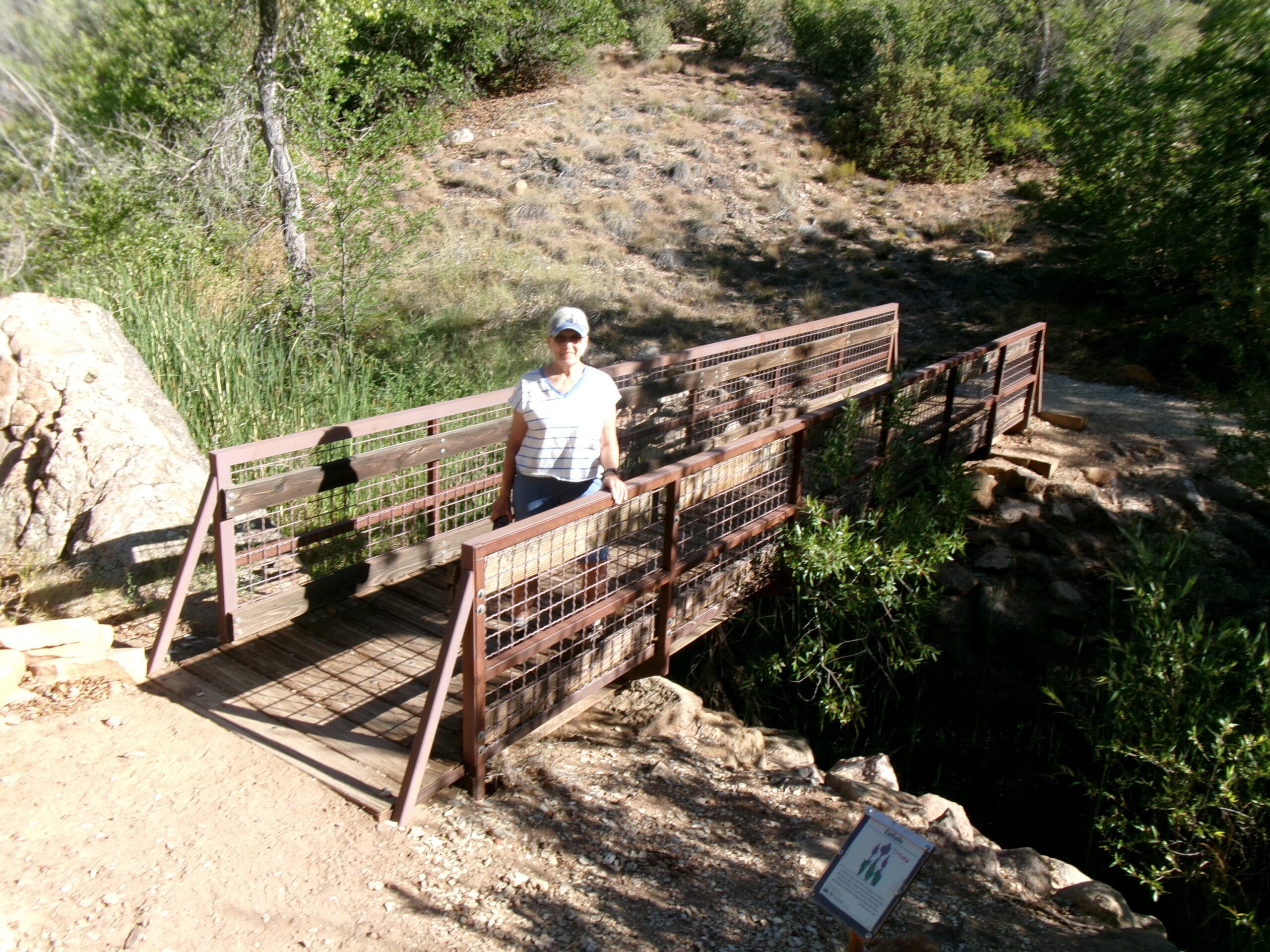
After about .25 mile, and crossing an iron frame footbridge, we reached the charcoal kiln. There is a cleared area around the kiln with a bench close by. The beehive shaped kiln, built of sandstone blocks and mud mortar, is 20 feet in diameter and stands 25 feet tall. When in use, the arch entryway was sealed with a metal door and an upper entry on the opposite side was used to fill the kiln with wood. Small openings around the base were used to regulate air circulation to the fire.
The kiln was built around 1885 to support mining operations in the nearby Silver Reef Mining Area. The charcoal was used in smelters to extract silver in the nearby silver mines.
After exploring around the kiln, we retraced our steps and took the side loop trail, now on our left, heading south. This loop, about .2 mile long, goes south, makes a tight turn and heads back north to the trailhead.
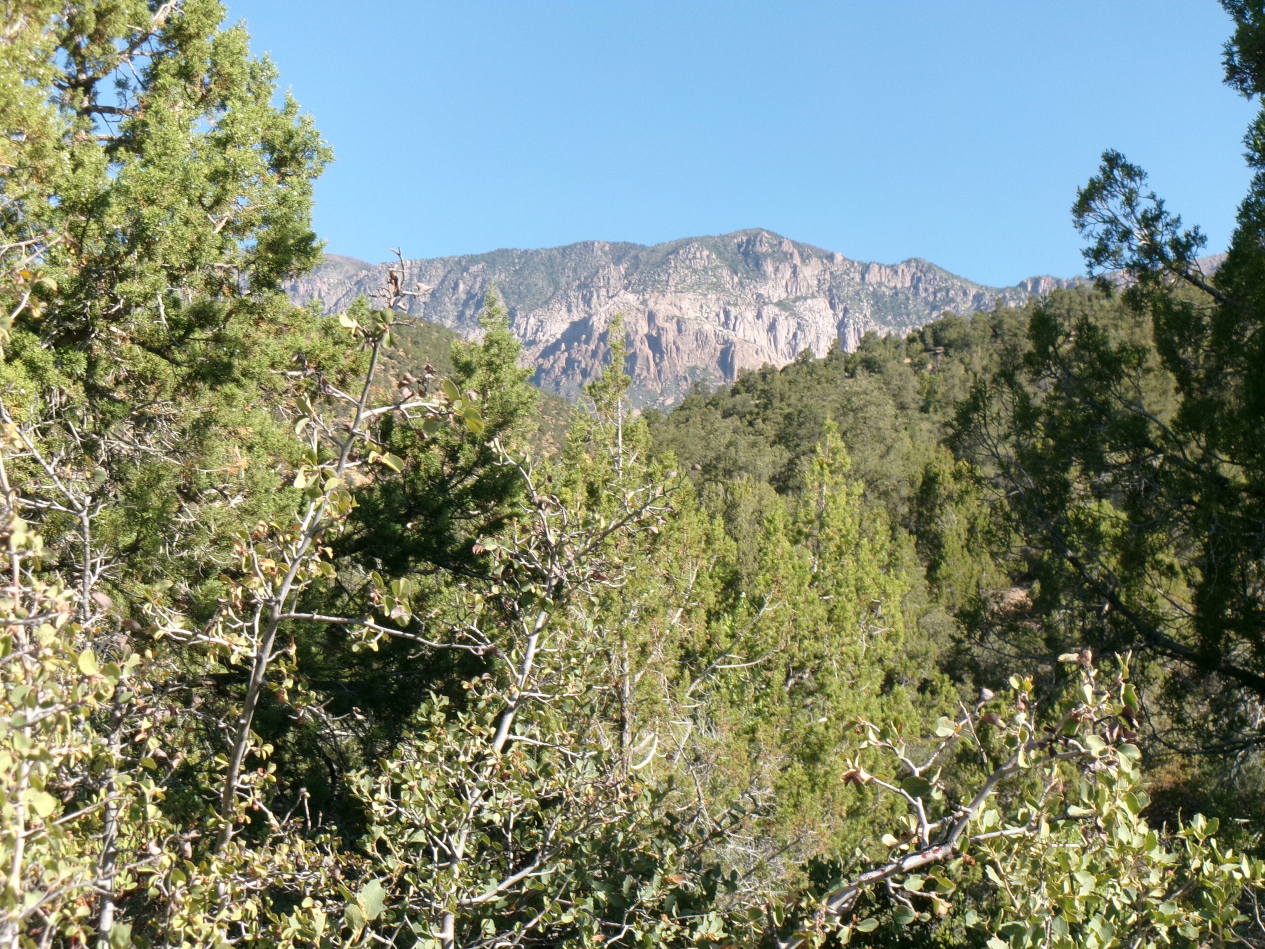
This is beautiful country, peaceful and quiet with great vistas in every direction of mountains covered with trees and shrubs. Encountering no other humans on our hike, we did see the ever present lizards and some birds.
This short easy hike of .6 mile round trip took less than one hour with plenty of stops for photos and just admiring the views. The solitude and incredible natural beauty make this hidden gem a “must do” hike for all who enjoy the outdoors and have a need to explore a forested landscape in a slightly cooler environment.



 may be for you.)