 Hiking Southern Utah: Water Canyon
Trail Name: Water Canyon
Elevation gain: Approximately 1,200 feet
Difficulty: Moderate
Length: 4.9 miles
Access: Water Canyon: From Hurricane, head out on Utah State Route 59 towards Arizona. When you get to Hildale, turn left onto Utah Avenue. Follow the paved road for about 3.2 miles, then turn right on Water Canyon Road. After about half a mile, you will stay on the left side of the road. There will be an intersection a little more than a half-mile up the dirt road. Stay left at the intersection. After a few miles, you’ll come to a small reservoir. On the far end, there is an information and parking area.
The 2,000-foot-tall cliffs sitting behind Hildale make up the Canaan Mountain Wilderness Area. Water Canyon is one of the most popular access points for the wilderness area, since it’s one of the few hikes that doesn’t require rope or heavy scrambling and is on a clear trail, at least for the first few miles.
The trail starts from the north end of the parking area. It follows the creek, although it will quickly start to rise above it. While alongside the creek, there are several spots to cool your feet in the water or just peek up at the view.
Along most of the hike, a huge arch is visible on the top right side of the canyon. Keep an eye on it throughout the hike, as the perspective will change, and soon a tree will be visible growing up the middle.
As the trail starts to lead away from the creek, it will start to get rocky and more difficult. The trail will reach a bramble of bushes that looks like something out of a children’s book. From here, there is a gorgeous view looking back the way you came. The cliffs in the distance are especially pretty in the late afternoon.
Looking back at the trail, choose the slightly wider path on the left, as it is easier and wide enough so you won’t get into anything thorny. The trail will start to go downhill again and start to meet back up with the creek.
Eventually, there will be a gorgeous tree growing out of the side of the cliff on the left side. The hanging roots twist along the rock, dangling down as if in a rainforest. Growing alongside hints of hanging gardens, this is one of the first clues that you are approaching the end of the canyon. The rest of the canyon is full of hanging gardens of maidenhead ferns and small plants, in distinct contrast from most of the dry, red-themed hikes around southern Utah. Depending on the season, some of the plants might also be in bloom, adding an extra spark of color to the walls.
Hanging gardens, a fascinating and extremely fragile part of the desert, are in Navajo sandstone (such as Canaan Mountain), because the cross-bedding and spaces throughout the rock provide nice cracks for water to filter through and collect in. These delicate systems are one of the things that make Canaan Mountain so special.
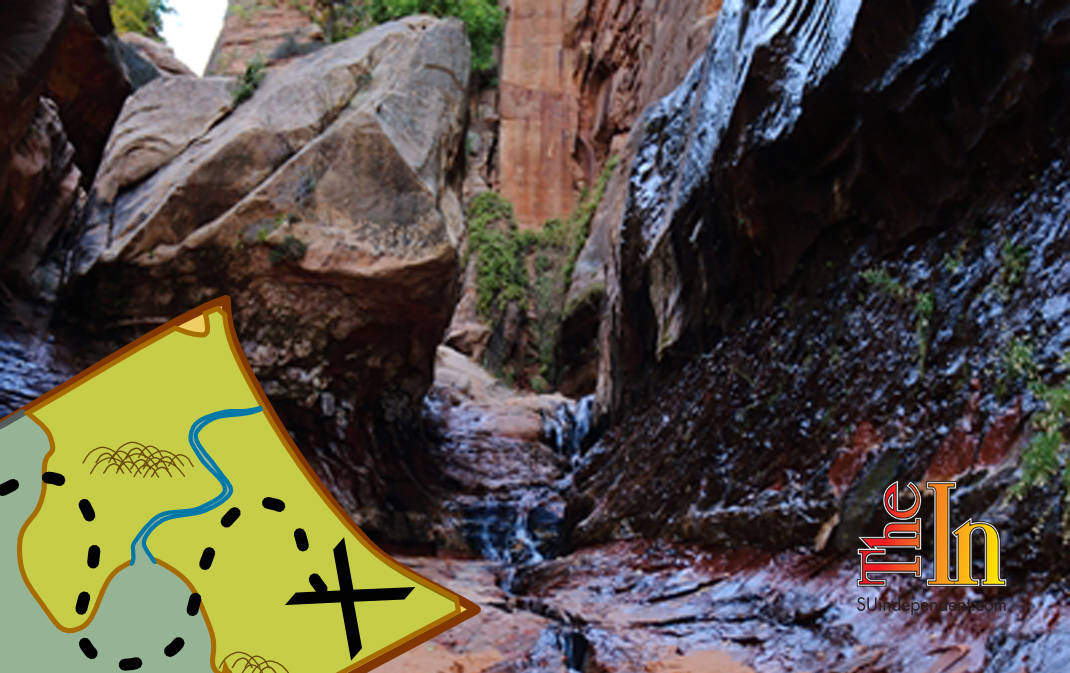
The trail will continue down the hill until it again meets the creek at a small waterfall surrounded by wet cliffs. Carefully continue up the small waterfall (it is slippery here), and the canyon will become even more narrow and dead end. The creek has formed deep cracks in the rock that it flows through, giving everything a deep color and interesting patterns in the rock. Depending on the season (and rainfall), there may be more water running down the rock walls up here.
This is the point at which most people turn around; however, it is worthwhile to continue to the top and look down at Water Canyon from the top. The top is also a completely different kind of scenery, with gorgeous sandstone formations dotting the landscape. To find the trail, turn around and look to the right side, where you can see a nice viewpoint to walk out to. From here, you can look back down at the waterfall you just walked up. The trail is right next to this and continues up a ledge.
Once up the ledge, there is a smaller and slightly less scenic mini-Water Canyon. Here, there is a slot canyon to walk into and look at, although it is sometimes full of water. Looking ahead, the trail continues on the left side of the canyon and will go up above the creek again. The trail becomes a little less distinct, and you do have to keep an eye open. At the top, the view changes from that of a lush canyon to rolling sandstone formations.
The trail actually does continue on, and many people make a full circuit to Squirrel Canyon. However, this is a much longer hike, with serious route-finding skills required, and takes a full day.


