 Hiking Southern Utah: Church Rocks
Trail: Church Rocks
Location: Red Cliffs Desert Reserve
Trailhead: Grapevine Trailhead
Difficulty: Moderate
Distance: 6 miles round trip
Average Time: 3-4 hours
Directions: Access the trailhead on the north side of I-15 Exit 13
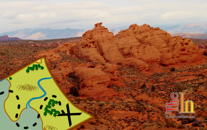
Church Rocks is a group of scenic red rock formations—possibly named for their church-like appearance—that can be viewed from the Church Rocks Loop. This trail is popular with mountain bikers, as it is mostly packed dirt and slick rock, but these conditions also make it a great place to hike.
There are several ways to access the loop, but the easiest route is to head north on I-15, take Exit 13 and turn left to cross the overpass. There is a dirt parking area on the right with a step-over gate that accesses the Grapevine Trail. When you come to where Grapevine intersects with the Prospector Trail, stay right on a short part of the Prospector Trail. When you come to a rock formation with some small cave openings, go around it to the left. You will then come to a wooden marker showing the way to Church Rocks. Take the small connector trail which leads you down into a wash. The distance from the trailhead to the wash is about 1.5 miles. After you go down into the wash, follow the cairns and trail markers that show the way to the Church Rocks Loop. You can either take the upper trail out and come back on the lower trail, or start with the lower trail. The loop itself is about 3 miles round trip.
At the east end of the loop, you can get a good view of the Church Rocks formation. There are also many other interesting and unique rock formations along the way. The Pine Valley Mountain and parts of Zion National Park can be seen in the distance. Make sure you take in the spectacular scenery as you go.
From the bottom of the wash to the highest point on the trail, you will gain about 185 feet in elevation. The total elevation change for the entire route is about 750 feet. This is a good winter hike. Summer months will be hot unless you start early in the morning. Make sure to take plenty of water, and check the weather report before you go.
As you come back on the lower trail, you will come to the wash and then find the trail back up the other side and take the same connections back the way you came. This is a great hike that is easily accessible and close to town, so the next time you have half a day to devote to exploring the great outdoors, check this one out.


