Hiking Southern Utah: Elkhart Cliffs Canyon
Trail: Elkhart Cliffs Canyon
Location: Kanab
Difficulty: Moderate to challenging
Distance: three miles
Average time: 2.5 hours
Kid-friendly? No
Canyons make desert hiking a joy. While my wife Deb and I will go on almost any desert hike, canyons are the jewels. They are formed between escarpments, cliffs, or mountain peaks or ranges by the erosive activity of rivers over geological timescales. Canyons are much more common in arid areas than in wet ones because physical weathering has a more localized effect in arid zones. A subcategory, slot canyons, are very narrow canyons, often with smooth walls. We love slot canyons and their otherworldly geology and appearance and have explored more than a score.
One of the reasons for our appreciation of slot canyons is the ever-present hint of danger. The chance an earthquake or rockslide will produce a rocky tomb — with you as the entombed. Or the coincidental rainstorm, even many miles away, can create a flash flood that sweeps you to nirvana. Perhaps a rattlesnake is waiting around the next bend. But these small risks have a huge payoff.
We are headed to Elkhart Cliffs Canyon, which is 14 miles north of Kanab. After extensive Internet research, I could find no other agreed-upon name and very few references to this canyon at all. This is a generic slot canyon. The land is managed by the Bureau of Land Management, and no permits or fees are necessary.
Our outing began in late May. Leaving St. George, we went through Hurricane on Highway 9 and then on to Fredonia via Highway 59 (Highway 389 in Arizona). In Fredonia, we turned left (north) onto Highway 89A and a few miles later entered Kanab, which means “place of willows” in Paiute. This leg of the trip is approximately 75 miles long depending upon your starting point in St. George. In Kanab, at the intersection of Highway 89A and Highway 89, set your trip odometer to zero and continue north on Highway 89. Approximately 14 miles from the intersection and between mile markers 78 and 79, turn right (east) at the start of two sandy tracks that join the highway. The trailhead is also 1.2 miles past the northern entrance to Coral Pink Sand Dunes State Park.
You can get to the canyon through Zion National Park via Highway 9 east, then Highway 89 south at Mt Carmel Junction. The trailhead turnoff (on your left or east) is 2.8 miles from Mt. Carmel Junction. While it is a bit shorter, the drive takes longer due to park traffic, and you must pay the $30 per vehicle entrance fee.
The trailhead and parking area, elevation 5,715 feet, is a wide spot alongside the highway. Since there is a dearth of information about Elkhart Cliffs Canyon, we figured that we would have the hike to ourselves. Nope. We arrived at 10 a.m. and found eight cars in the parking area. So much for solitude.
It was good hiking weather — a deep blue sky, a few wispy clouds, and temperatures in the high 70s. Like many slot canyons, Elkhart Cliffs Canyon slithers around snakelike. Sometimes the gorge runs north-south, sometimes east-west.
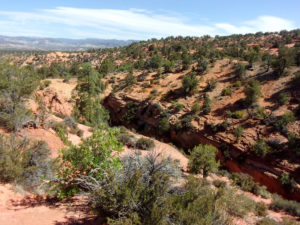
We headed southeast down a dirt road and after 300 yards or so turned northeast on one of the many ill-defined user trails in the area. (There are no BLM-maintained trails for this hike.) The tracks were sandy and mostly downhill, and after less than half a mile from the trailhead we came upon the deep canyon.
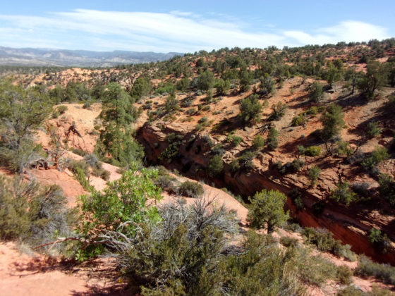
It was quite a sight: massive red sandstone walls with trees and bushes adding some green, all topped with a typical blue Utah sky. It was cool, but there was no way to enter the ravine from the west side, where we were. We scouted around and determined that the west and south sides had very steep or vertical walls. Paralleling the canyon, we headed upstream (southeast) to find an entry point.
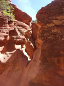
We came upon a group repelling down a huge dry fall. They told us to continue upstream to find a crossing point to the east/north side, which had some entry points that were difficult but doable without ropes. Soon, we found a precarious crossing at another red rock dry fall. While not quite tightrope walking, we carefully traversed the slippery rock to the north side of the canyon. At this point, it was running east-west. Without a rope, there was no way to safely descend 20-foot vertical walls to the canyon floor.
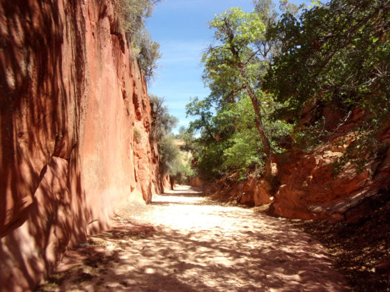
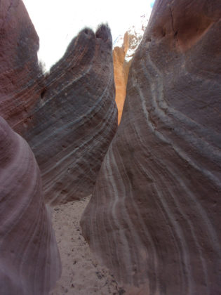
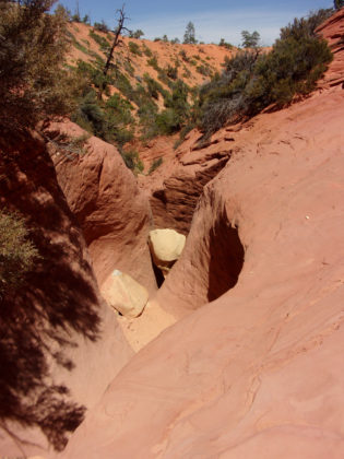
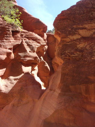
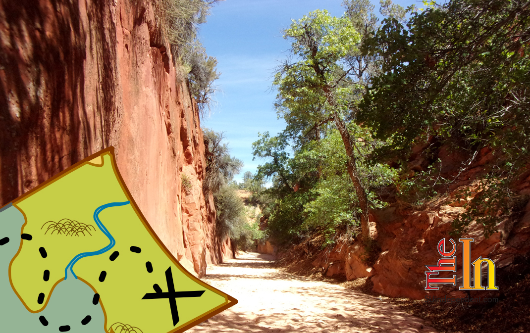
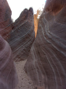
Now heading downstream, Deb and I finally entered the canyon. Then we headed back upstream to a narrow, stripy, swoopy, deep red, almost purple slot. Leaving the slot and heading back downstream, the canyon widened to ten feet or so with vertical red rock on the left (west) and slightly less imposing rock and sand hills on the right (east). About a quarter of a mile further we encountered another impassable curvy red sandstone dry fall. Once more we climbed out of the canyon (northeast side) and back down in past the obstacle. Eventually the gorge widened and was intersected by another slot canyon on the right (east).
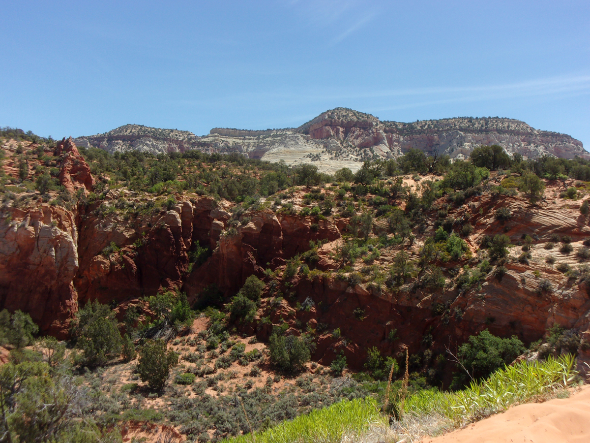
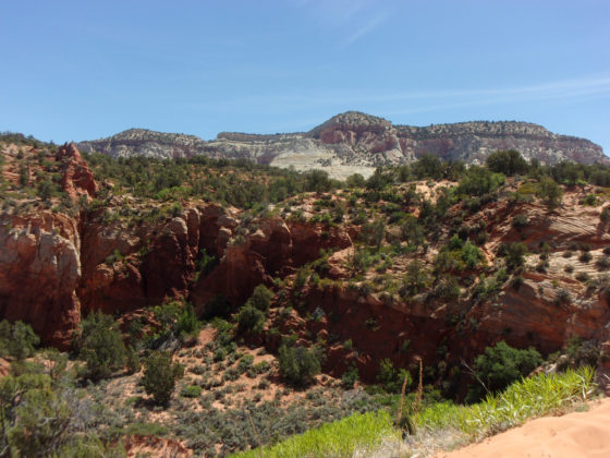
Directly opposite this side canyon was a well-defined and very steep trail out of the main canyon and back to the trailhead. This last section, heading mostly south, was about half a mile long and included a more than 275 feet of elevation gain. It wasn’t much fun in loose sand, but the panoramic views as we gained elevation were spectacular.
This is a moderately strenuous, challenging hike. Don’t bring young children or people way out of shape. We spent almost 2.5 hours on the trail and traveled slightly more than three miles. Admittedly, some of that distance was spent scouting around and backtracking, making little progress. Loose, dry sand comprised almost the entire trail. However, if you like a challenge with some dramatic views and vivid canyon narrows, give Elkhart Cliffs Canyon a try.
