West Cinder Knoll Trail, Red Cliffs Desert Reserve
– By Tom Garrison –
Trail: West Cinder Knoll Trail
Location: Red Cliffs Desert Reserve near Hurricane, Utah
Difficulty: Easy, but not a well-marked trail. There are several user trails intersecting the main trail.
Average hiking time: Less than 1 1/2 hours at a leisurely pace with much time for exploring.
Elevation: The trailhead is 3,240 feet elevation with about a 140 feet elevation change.
Family Friendly: Yes.
Getting There: To reach the Red Cliffs Desert Reserve trailhead from St. George, proceed east to Hurricane along State Route 9 (aka State Street). In Hurricane, turn left (north) onto 2260 West where the Sleep Inn & Suites is on the northeast corner. Continue north for .5 mile and turn right (east) onto 600 North. After approximately 1.1 miles is a small parking area, good for four or five cars, and a stepover on the left (north) side of the road. This is the trailhead.
Experts agree the loudest sound in recorded history was the Krakatoa (in modern-day Indonesia) volcanic eruption in 1883. The main eruption was heard in Perth, Australia almost 2,000 miles away. Everybody, except those in the path of destruction, loves a fire-breathing volcanic eruption. Who can forget the story of the buried Roman city Pompei, compliments of a bang-up eruption by Mt. Vesuvius in 79 AD?
The word volcano is derived from the Latin “Vulcanus,” the Roman god of fire. Anyone who has explored southwest Utah knows there are many dead (well, hopefully dead) volcanoes in the area. Their calderas are everywhere. (A caldera is a large depression formed when a volcano erupts and collapses.)
My wife, Deb, and I have hiked in and around several ancient volcanoes in our 35 years of desert hiking. It was time for another—West Cinder Knoll just north of Hurricane. West Cinder Knoll, located in the easternmost section of the Red Cliffs Desert Reserve, is a collapsed caldera with great views from the top. It is an easy 2.1 mile round trip adventure.
We parked and began our hike along West Cinder Knoll Trail about 9:30 am under a cloudy sky with the temperature in the mid-60s. The trailhead elevation is 3,240 feet with about a 140 feet elevation change during the hike.
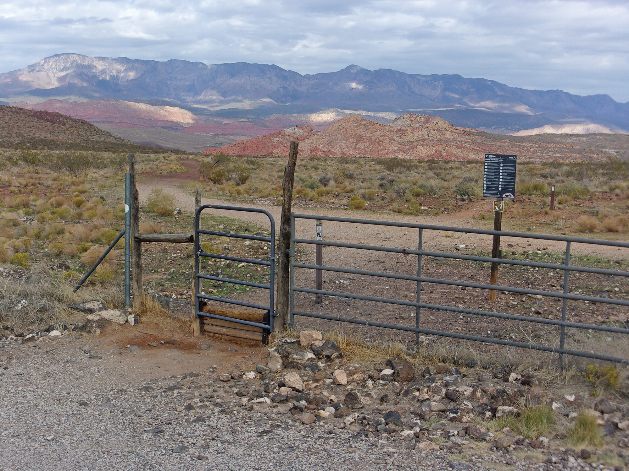
Be aware that there are several user trails branching off and intersecting the main trail and only a couple of trail signs. While I encourage exploring, be sure to know your surroundings and how to return to the main trail.
There is not a trailhead sign for West Cinder Knoll Trail. There is a chain on the gate of the stepover. Remember to close the gate and put the chain back. We hopped over the stepover and headed northwest on a wide track.
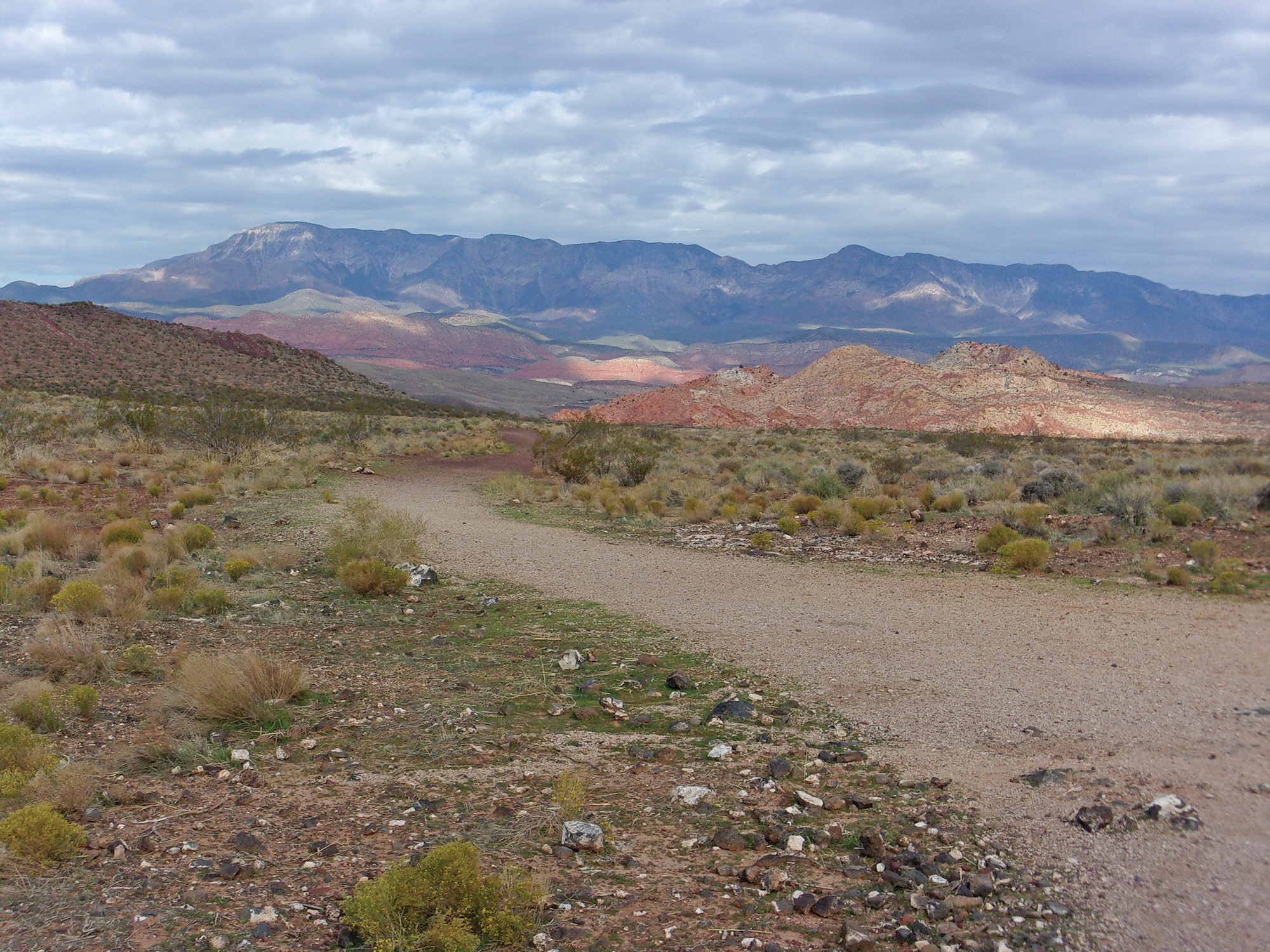
Staying on the main track, we came to a major desert trail junction like spokes in a wheel at .4 mile. There were five (counting the one we were on) trails coming together. Numbering the trails one through five, with one being the trail we were on (heading northwest), we took number five (counting counterclockwise) going southwest. There was an official sign laying on the ground indicating our choice as the official West Cinder Knoll Trail.
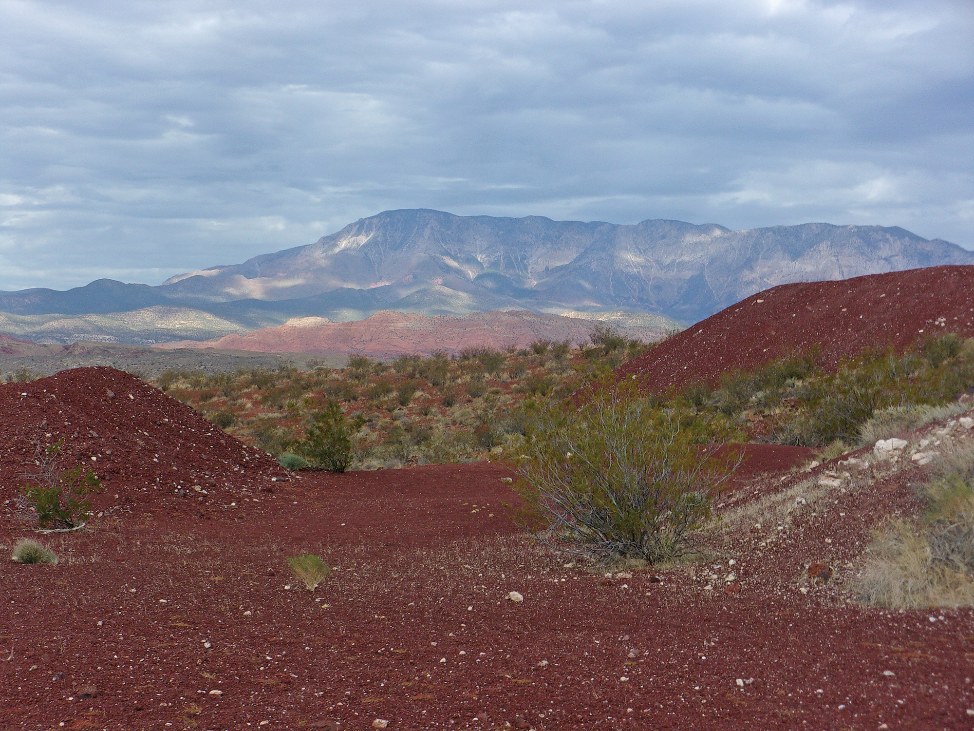
After about ¼ mile the trail curves to the northwest and gently climbs up the caldera slope. The trail, composed of mostly fine cinders soon reaches the top of the knoll. The knoll is a volcanic cone that has been extensively mined for the cinders.
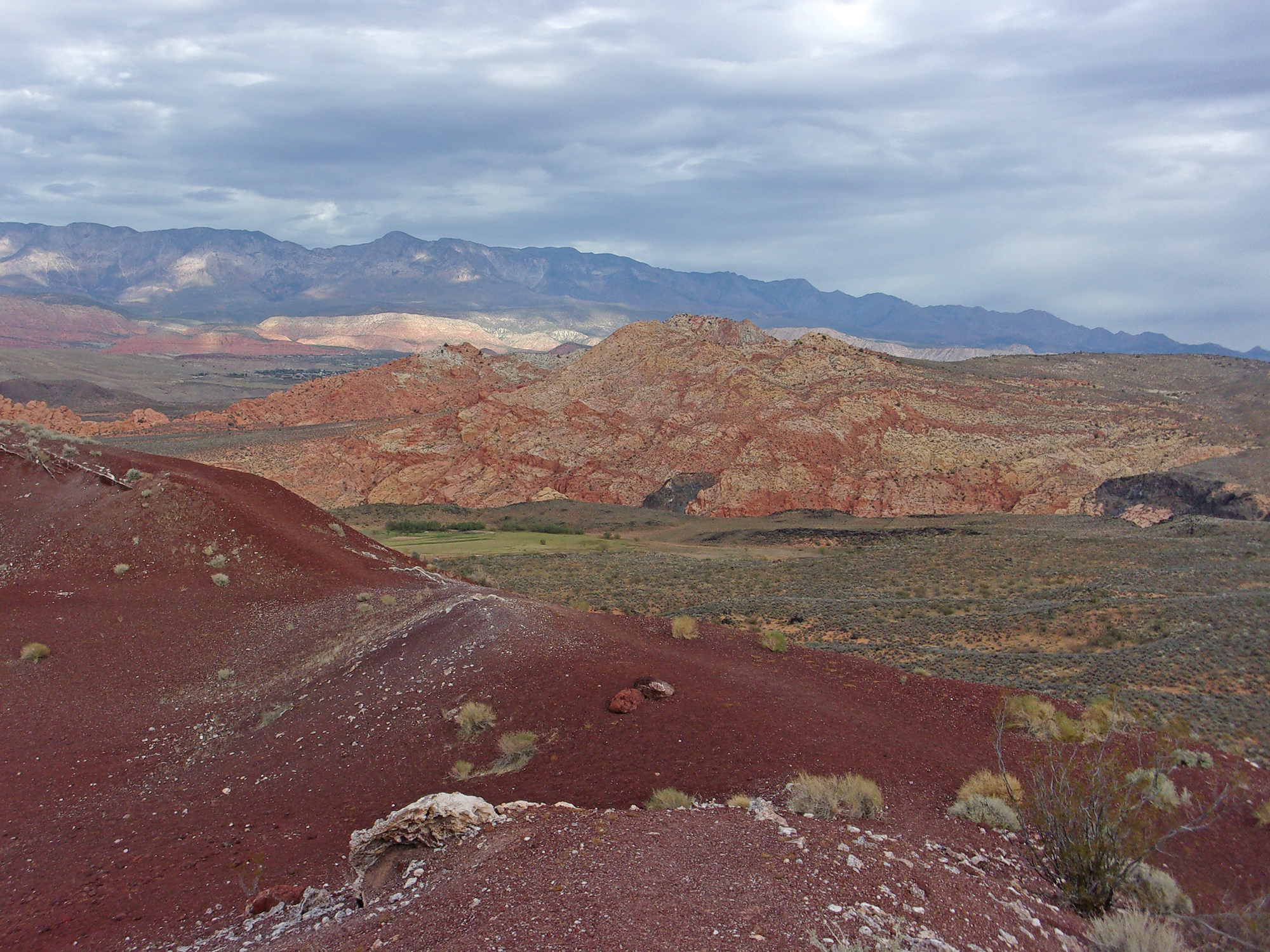
Approximately ½ mile from the junction (about .9 mile from the trailhead) is a fork in the trail. The right fork heads east into the reddish-brown heart of the caldera; the left goes northwest and circles back east. We took the right fork and trekked into the center of the ancient volcano.
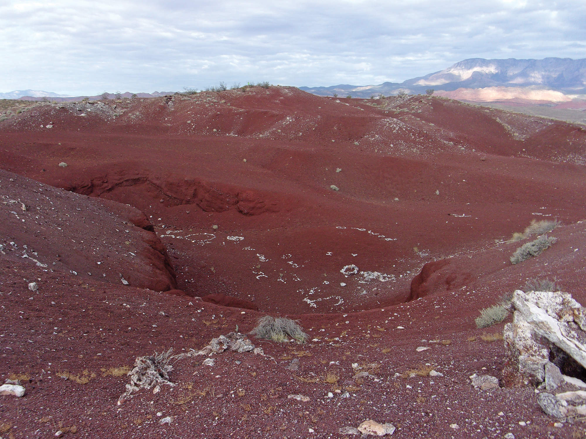
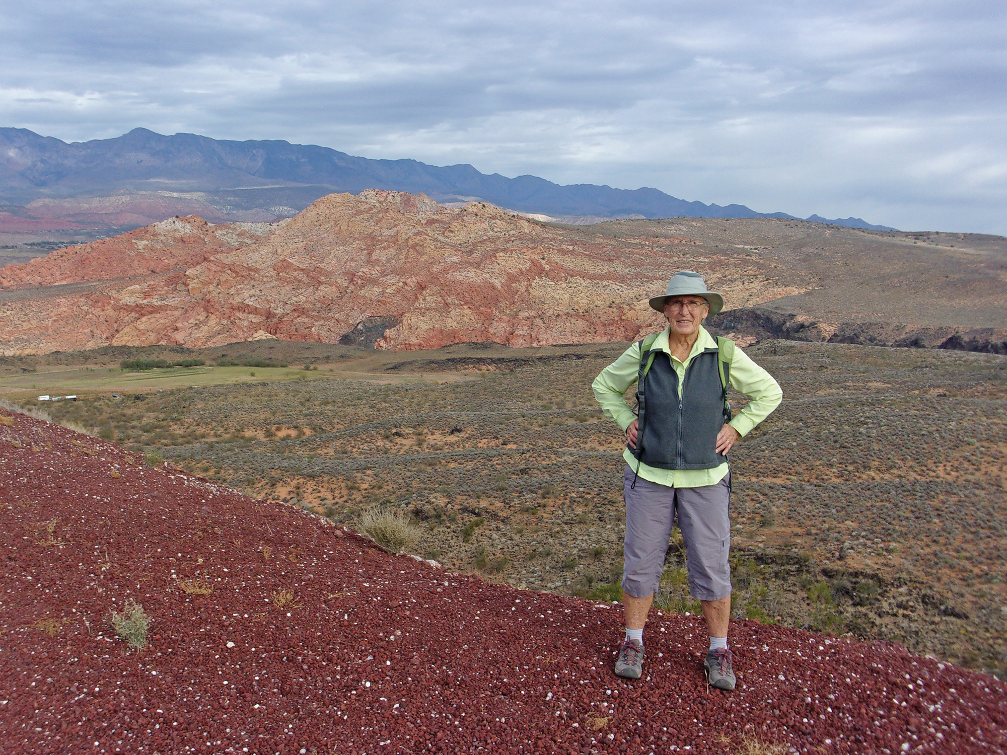
This section was gently rolling hills and we quickly reached the pit of the caldera. At the bottom was undoubtedly the handiwork of locals—white rocks arranged in various shapes and words. We circled around the southern side and about halfway up the eastern side. From this vantage point the views, even on a cloudy day, were amazing–Pine Valley Mountains to the north, East Cinder Knoll to the east, and portions of Hurricane Valley to the south.
We followed a well-trod trail descending the eastern slope of the caldera heading south. Before long we reached a trail intersection and went left (east) which eventually led us to the five trail junction mentioned above. From there we retraced our steps to the trailhead.
The vegetation along the hike is mostly a mix of creosote and sagebrush, with an occasional cactus. We did not see any wildlife, although common inhabitants include rabbits, lizards, hawks, and other small desert-dwelling birds.
This 2.1-mile round trip easy hike is perfect for folks wanting to “get away from it all” for a couple of hours. We saw only three other hikers during our journey. It is close by with easy access and features a dead volcano and good views.
