
The White Sage Fire, burning 15 miles southwest of Fredonia, has now consumed an estimated 49,286 acres and remains 0% contained. Driven by extreme fire behavior and gusty winds, the blaze continues to challenge firefighting efforts across brush, timber, and grass.

Aerial Resources Provide Crucial Support
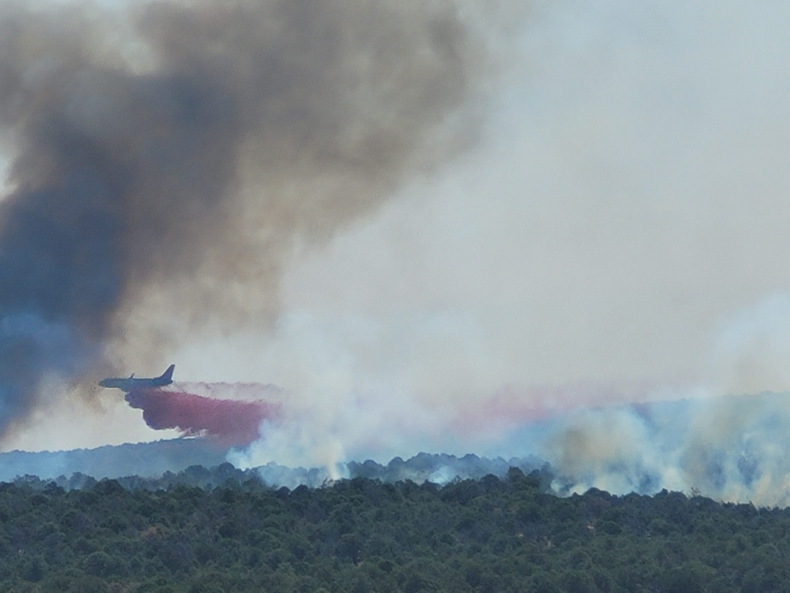
On Sunday, air crews dropped more than 179,000 gallons of retardant from Very Large Air Tankers (VLATs) and Single Engine Airtankers (SEATs) to help slow the fire’s spread. These aerial operations were critical in reinforcing containment efforts on the ground. Fire crews working the southern flank pushed well into the night, reinforcing control lines under difficult conditions.
On the fire’s western edge near the point of origin, the line is holding. Mop-up operations continue as crews work to secure that section of the perimeter.
Southern Flank Remains Most Active
Driven by north/northwest winds, the southern flank has become the most volatile portion of the fire. Flames crossed Highway 89A near House Rock Valley, racing through dry fuels with torching and running behavior observed throughout the day.
Weather continues to influence fire behavior, with temperatures in the upper 80s to low 90s and relative humidity levels between 10–13%. Gusty winds up to 25 MPH remain a concern. There is also a 10% chance of thunderstorms over the fire area, which could cause erratic and gusty outflow winds.
Evacuations and Closures
Evacuation notices and road closures are in effect due to the active southern edge. Fire officials urge residents to remain alert and monitor updates from Coconino County emergency management.
For the most current evacuation map and information, visit the official Coconino County Wildfire Map.
For More Information:
Fire Information Line: 928-218-4240 (8 AM – 8 PM)
Email: 2025.whitesage@firenet.gov
InciWeb: White Sage Fire Incident Page
Facebook: BLM Arizona Facebook


