
 The unsettled weather continues for southern Utah today, and the flash flood watch issued by the National Weather Service in Salt Lake City remains in effect until tonight at 10:00 p.m. The flash flood watch has been issued for an expanded area, which now includes the Wasatch Plateau/Book Cliffs, Castle Country, the San Rafael Swell, the Dixie region, Zion National Park, south central Utah, the Glen Canyon Recreation Area, Lake Powell, and the central and southern mountains. This includes the cities of Scofield, Price, Castle Dale, Emery, Green River, Hanksville, St. George, Kanab, Esclante, Bullfrog, Cove Fort, Koosharem, Fish Lake, Loa, Panguitch and Bryce Canyon.
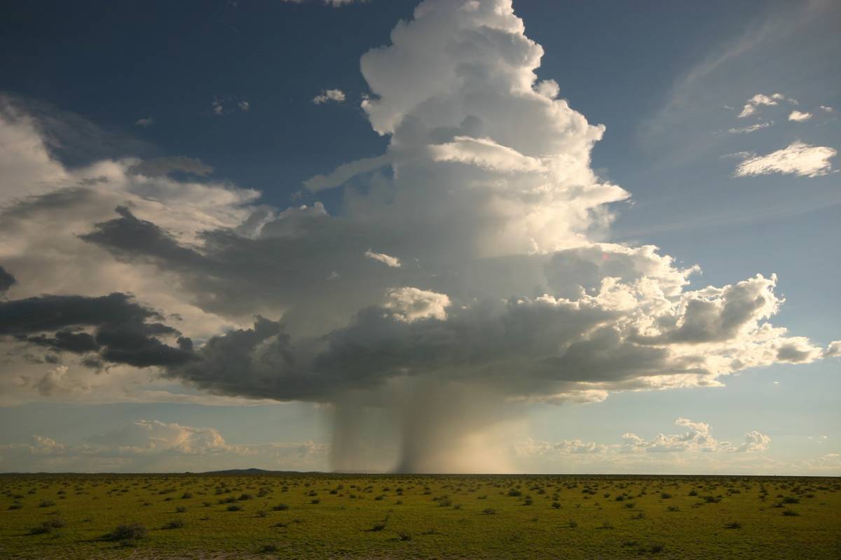
The weather forecast is for scattered showers of light-to-moderate intensity through the evening hours. There is the possibility of heavy rainfall generated by thunderstorms which are expected to begin around the middle of the day. Due to the recent heavy rains, combined with today’s expected precipitation, the possibility of flash flooding across the watch area has increased.
Flash flooding most often occurs in normally dry washes, small streams, slot canyons and in areas of recent burns and generally steep terrain.
A flash flood watch means that conditions have developed that could lead to flash flooding. Given the recent Hildale and Zion National Park tragedies, people are advised to take flash flooding very seriously. It is an extremely dangerous situation that can be deadly. Continue to monitor conditions. Should flash flooding develop, get to higher ground immediately. Do not attempt to walk or drive through flooded areas. Flash flooding is the leading cause of weather-related deaths in the U.S.
For continued updates, visit NOAA.gov.


