The National Weather Service in Salt Lake City has issued a hazardous weather outlook for southern Utah. The areas expected to be impacted are the Cache Valley/Utah portion of the northern Wasatch front, Salt Lake and the southern Wasatch front, the Great Salt Lake desert and mountains, Wasatch mountain valleys, the Wasatch mountains near Interstate – 80 North, the Wasatch mountains south of Interstate 80, the western Uinta mountains, the Wasatch plateau and the Book Cliffs, the western Uinta basin, Castle Country, the San Rafael Swell, the Sanpete and Sevier valleys, west-central Utah, southwest Utah including Utah’s Dixie and Zion National Park, south-central Utah, Glen Canyon Recreation Area and Lake Powell, and the central and southern mountains.
The hazardous weather outlook is from Monday, Nov. 9, until Sunday, Nov. 15.
For Monday, Nov. 9: Strong winds from the south will develop, generated by a cold front across eastern Nevada into western Utah. These southern winds are expected to gust up to 50 mph. The winds are forecast to affect the area from Cedar City north to the Salt Flats from late this morning until the evening hours and then are expected to shift toward the west in front of the cold front. The far northwest corner of Utah will see the development of scattered showers and isolated thunderstorms in the late afternoon. This weather system will follow across the rest of northern and western Utah overnight.
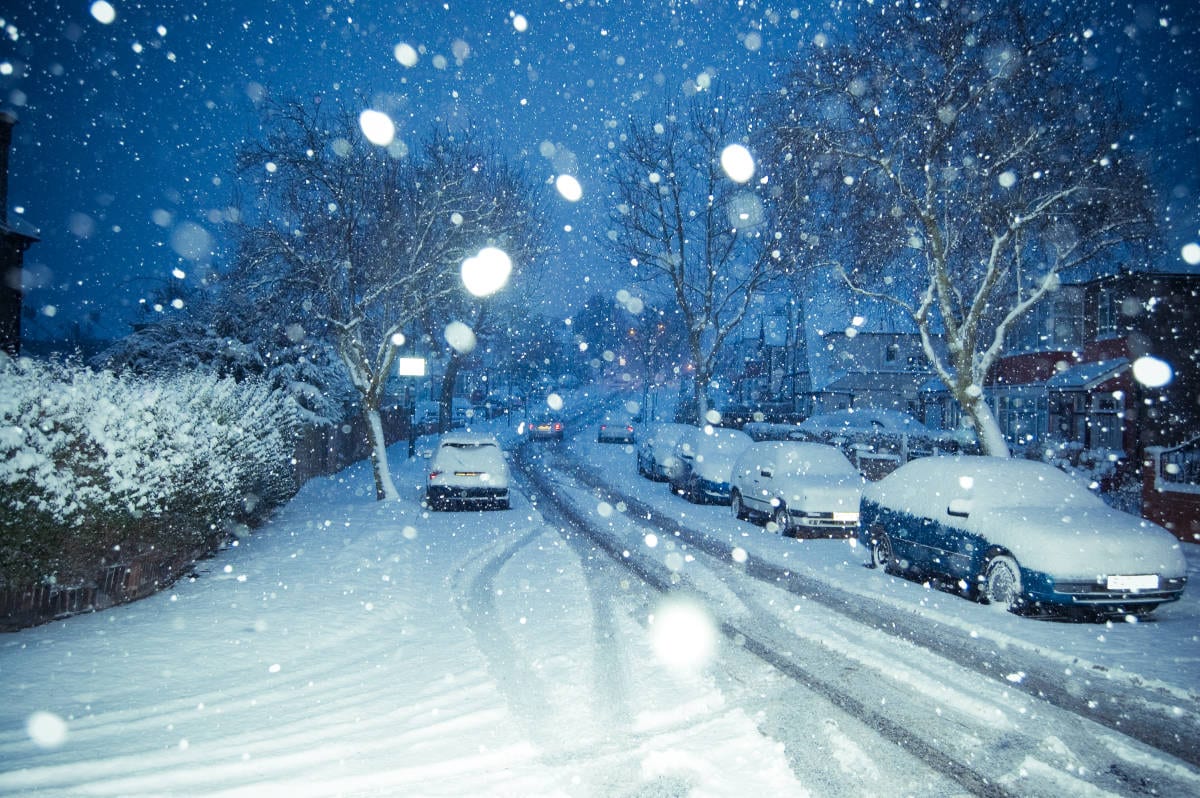
Days two through seven will see a Pacific storm head into southern Nevada early Tuesday. This system will generate far-reaching precipitation into the southern and central portions of the state Tuesday and Tuesday evening. Snow levels will drop to allow accumulating snow in most areas except the lowest portions of the state near the Arizona border. Expect several inches of accumulation in the southern mountains through Tuesday night accompanied by a considerable drop in temperature late Tuesday night into early Wednesday morning.
A trend of warm, dry air will develop later in the week as a high pressure system will resume in the outlook area.
For more information, visit the NOAA.gov website.


Quote from the article: “For Monday, Oct. 9: Strong winds from the south will develop…”
Fixed