

Hiking Southern Utah: Dead Horse Point
Featuring immense cliffs carved by the elements and stunning overlooks, Dead Horse Point State Park draws you in with its breathtaking landscapes, dark starlit skies, and rich history, and earlier this week, the Utah DNR announced Dead Horse Point State Park as its Park of the Week.
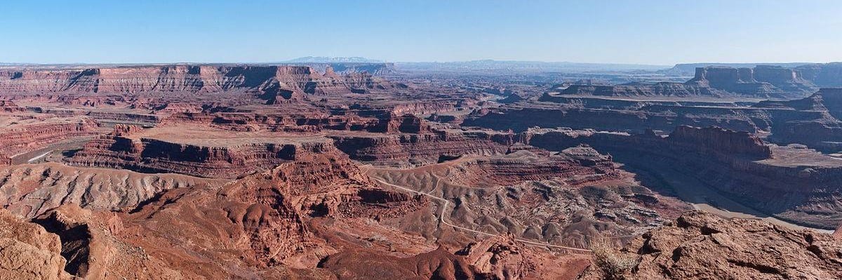
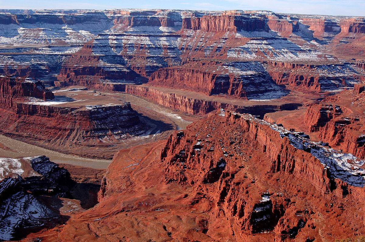
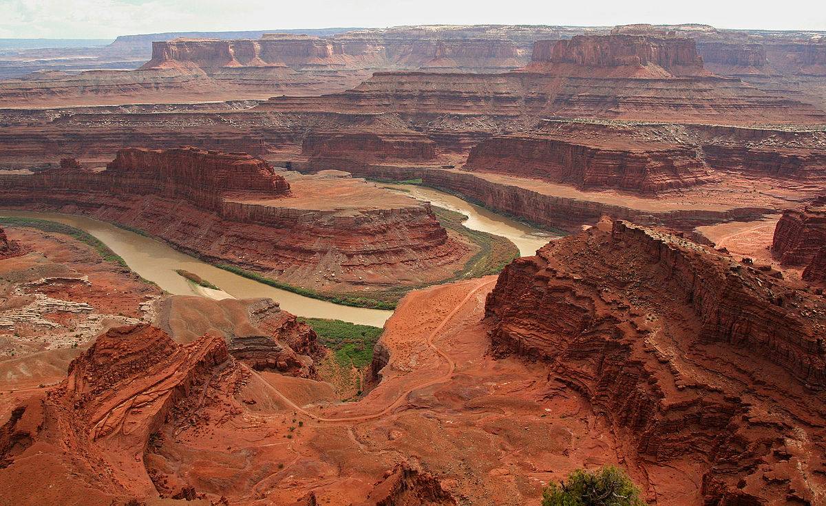
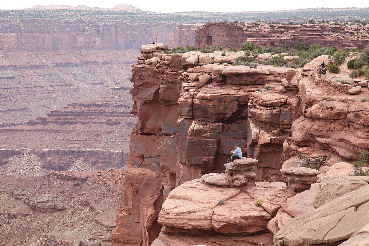
Towering 2,000 feet over the Colorado River, Dead Horse Point State Park is one of the most photographed scenic sites in the world. This desert gem sports a visitor center, a 21-site campground, a group campsite and picnic area, and a nine-mile hiking trail loop.
For those seeking an extra special overnight experience, the park also offers yurts that sleep six and feature a propane fireplace, kitchen area, outside grill, lighting, and electricity.
The plants and animals of Dead Horse Point have adapted to a land of scarce water and extreme temperatures. Plants grow very slowly here. Trees 15 feet tall may be hundreds of years old. The leaves of most plants are small, and some have a waxy coating to reduce evaporation. Most desert animals are nocturnal, active only during cooler evenings and mornings. Some have large ears to dissipate heat, while others metabolize water from food.

With Moab close by, mountain bikers visiting the park can rest assured their bikes are allowed in and can be ridden on the park’s paved roads.
For a more extreme biking experience with incredible scenery, bikers can also test their skills down the Intrepid Trail located near the park’s visitor center, complete with singletrack loops, slick-rock sections, and sandy washes.
The park spans 5,300 acres and has a high-desert altitude of 5,900 feet.

Millions of years of geologic activity created spectacular views from Dead Horse Point State Park. The deposits of sediments from ancient oceans, freshwater lakes, streams, and windblown sand dunes created the rock layers of the canyon country. Igneous activity formed the high mountains that rise like cool blue islands out of the hot, dry desert.
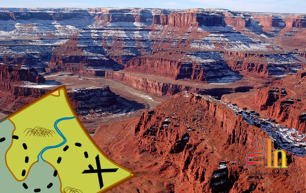
Dead Horse Point is a peninsula of rock atop sheer sandstone cliffs. The peninsula is connected to the mesa by a narrow strip of land called the neck. There are many stories about how this high promontory of land received its name.

According to one legend, the point was used as a corral for wild mustangs roaming the mesa top around the turn of the century. Cowboys rounded up these horses and herded them across the narrow neck of land and onto the point. The neck, which is only 30 yards wide, was then fenced off with branches and brush. This created a natural corral surrounded by precipitous cliffs straight down on all sides, affording no escape. Cowboys then chose the horses they wanted and let the culls or broom tails go free. One time, for some unknown reason, horses were left corralled on the waterless point where they died of thirst within view of the Colorado River, 2,000 feet below.
SOURCES:
stateparks.utah.gov/2015/12/07/park-of-the-week-dead-horse-point-state-park
stateparks.utah.gov/parks/dead-horse/discover


