
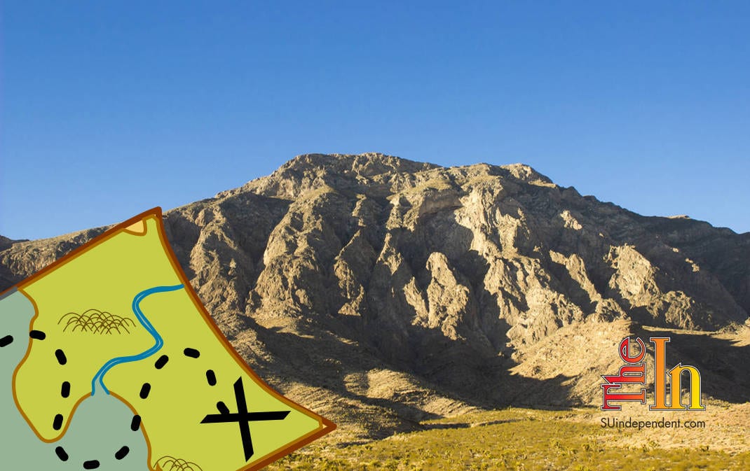
Hiking Southern Utah: Moapa Peak
– Video, Photos, and Article By Don Gilman –
Trail name: Moapa Peak
Difficulty: Extremely strenuous
Length: Seven miles roundtrip
Elevation gain: 3,300 feet
Family-friendly: Absolutely not
Dog-friendly: Leave poochie at home for this one
Special considerations: The climb up Moapa peak is an unrelentingly steep, exposed, and exhausting endeavor and one that is best suited for those who are in superb shape and are comfortable with massive exposure. While not a technical climb—the climbing is listed by most climbing sites as class three—this is not a route for the faint of heart. A rope could certainly be justified for less experienced members of the party. Also, as it’s a wilderness route with little to no trail, climbers should have excellent route-finding skills. In addition, a high-clearance vehicle (preferably with four-wheel drive) will be absolutely necessary to endure the rough road to the trailhead.
Access: From St. George, drive south on Interstate 15 for 58 or 60 miles (depending on which St. George exit you took) to Interstate 15, exit 100 in Nevada. Hang a right onto the frontage road and drive north for a few hundred feet. Turn left onto the first dirt road. Follow this road for eight miles, ignoring all side roads. The passage along this rough desert track gets increasingly difficult as you approach the trailhead. When arriving at the trailhead, do not follow the road any further, as it gets narrower and has fewer places to park. Besides, it only continues for perhaps a quarter-mile more.
Note: Yes, I know. Moapa Peak is not in Utah, but it is just over the border in Nevada, and it is an epic and fantastic peak that is more than worthy of being included in this series.
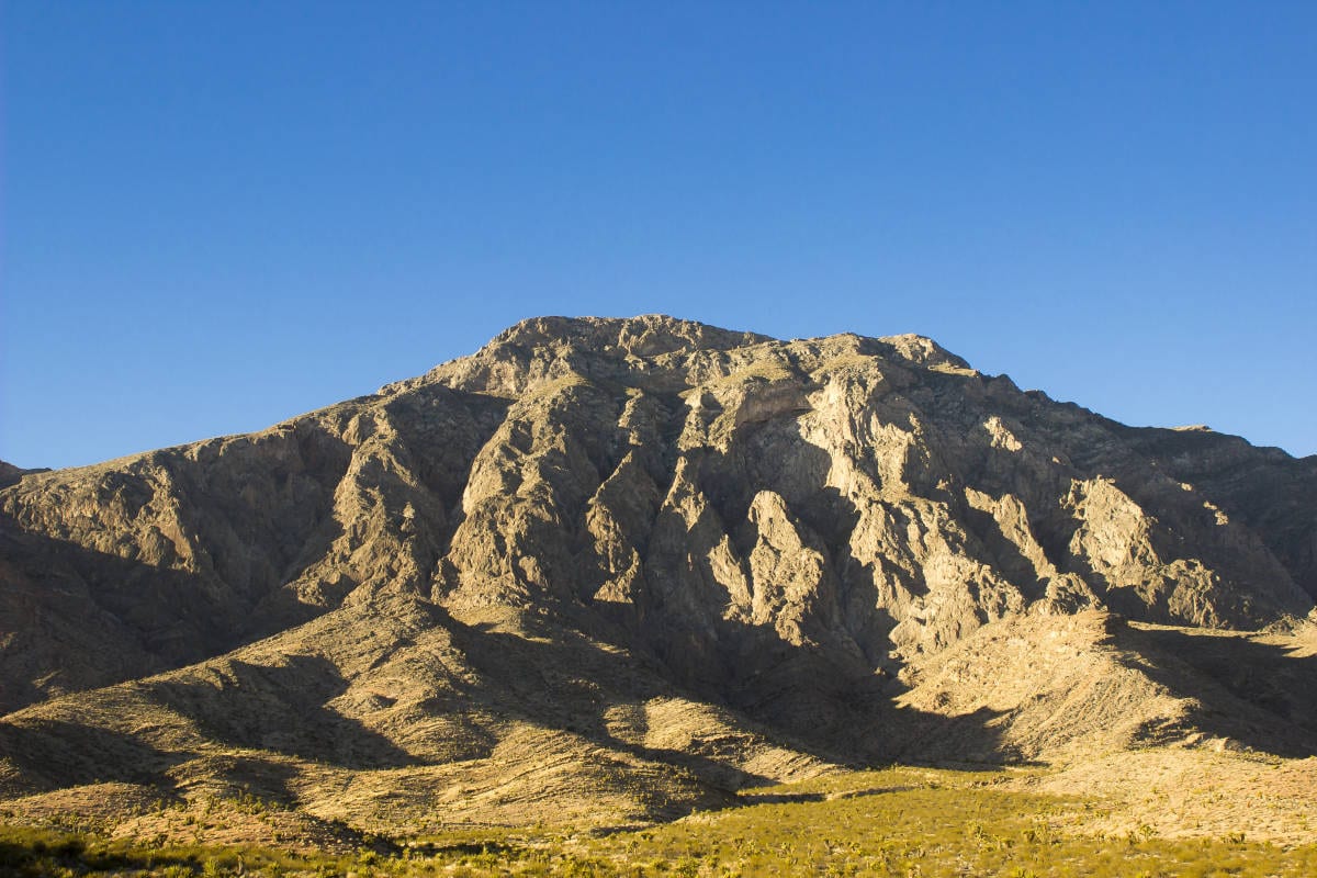
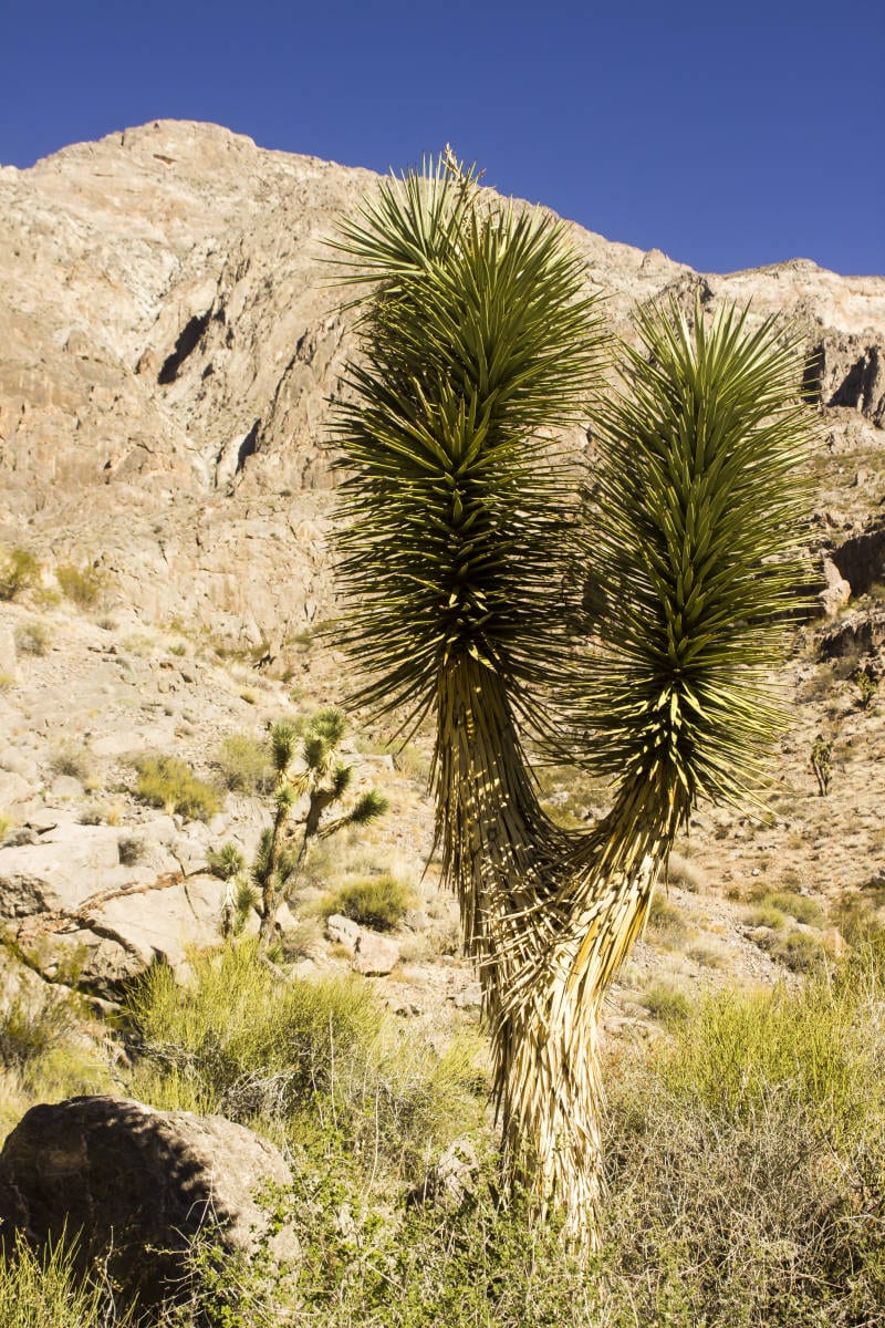
Prepare yourself. A climb of Moapa Peak is a big day with a massive amount of elevation gain, extremely rugged terrain to climb, and mind-blowing exposure. This is a true mountaineering route. Most likely it will take many hours to complete, so get an early start. Yet it is also a sublimely enjoyable undertaking and is immensely satisfying when completed. The possibility of wildlife sightings are high: when we were there on Nov. 8, we saw a large bighorn ram, peregrine falcons, hawks, and ravens.
 Begin hiking down the road from the trailhead, passing through a rocky gap. On the other side of this gap is a grassy spot called Jack’s Pockets. Head across this meadow, and begin hiking north up the broad wash. Ahead of you in the distance is a smaller mountain known as Peak 4542. The saddle on the far side of this peak is your first objective. The first mile goes quickly on the low-angled wash. It then becomes narrower as it heads deeper into the canyon. Soon boulder-hopping and easy climbing (class two and three) becomes necessary. At around 1.5 miles, a deeper slot canyon is reached. Look for cairns on the left. These lead to a trail that heads up and away from the slot, which has steep, dry falls that needs to be avoided. As you head up the brushy slope, the canyon bends towards the west. Head up this canyon towards the shallow saddle at the end. It is approximately 1.75 miles to the saddle.
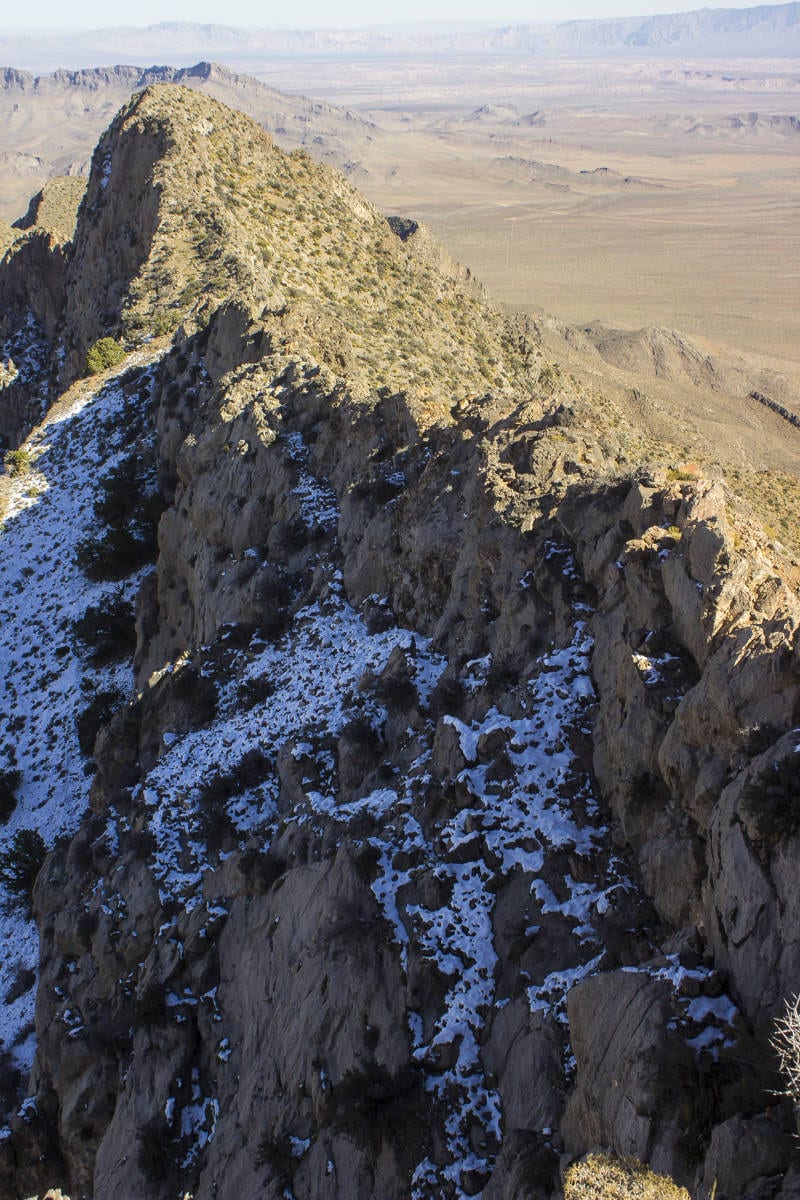
While only third and fourth class, the knife edge is steep and frightfully exposed. Reminiscent of Angels Landing, only narrower and with no chains (or, thankfully, crowds), this ridge is 300 feet long and has sections where it is only a foot or two wide.
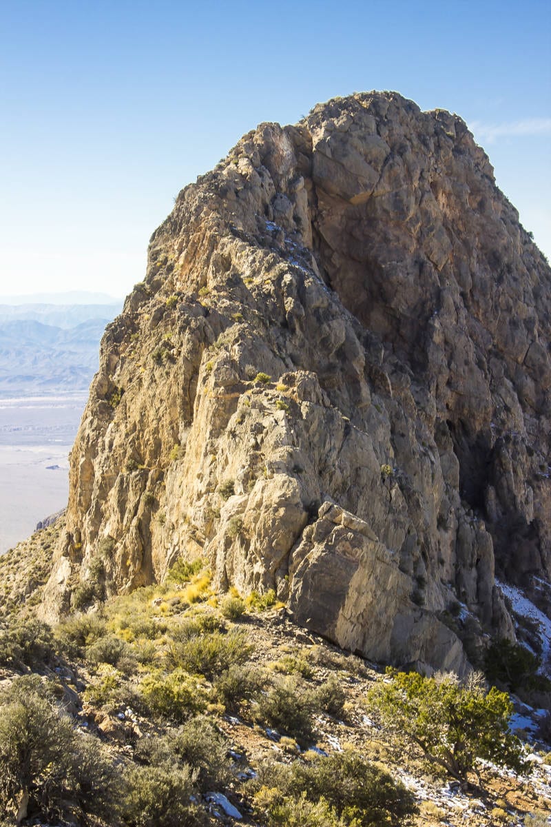
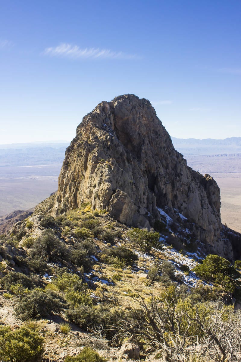
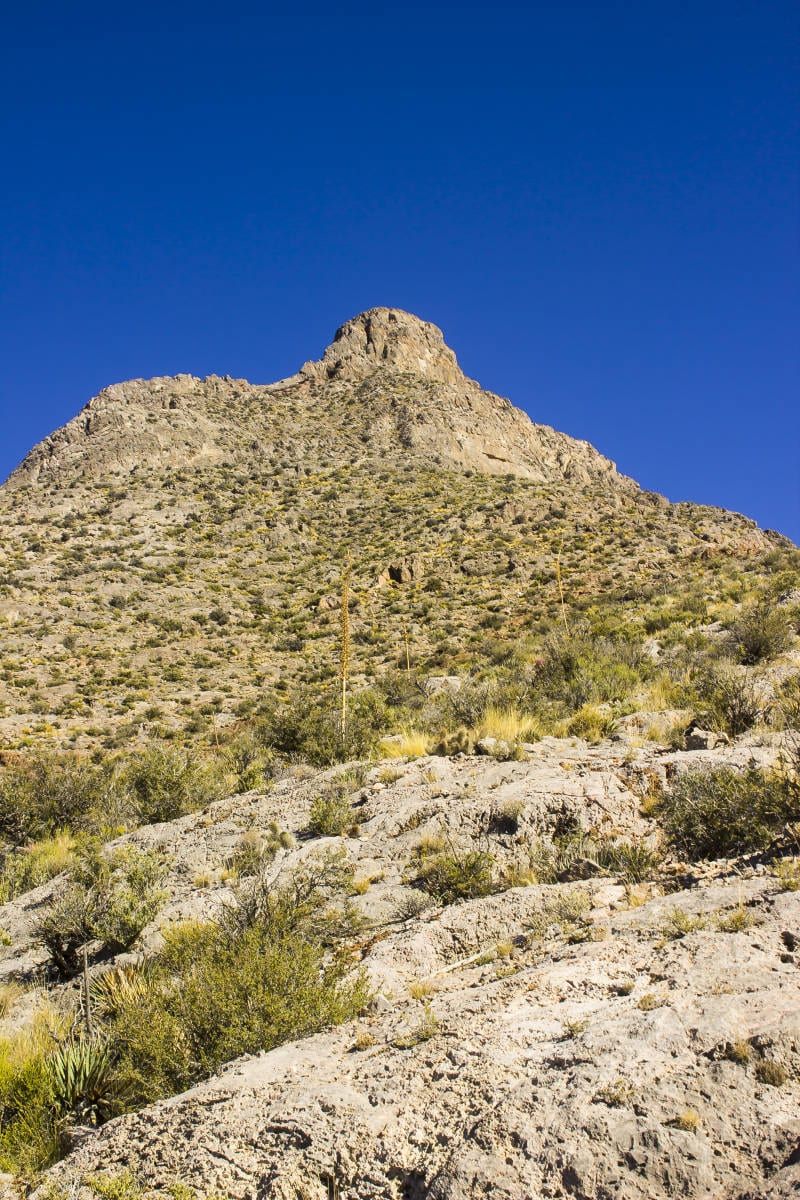
Ponder the climb ahead of you. Moapa Peak towers above the saddle, and a broad ridge rises to the north leading to much steeper terrain. This is where the first real climbing begins. Follow this ridge up to the first crags a few hundred yards away. Easy class two and three terrain winds through the rocks. Continue north until reaching a 100-foot-high cliff. This is where the intensity ramps up. Head west (left) and look for cairns. Follow these cairns up and to the west initially, climbing occasional steep steps. After a short distance of climbing, the cairns will head east. Once the more difficult climbing eases, the trail traverses a wide ledge to the east for a few hundred yards more before scrambling up to the slope above.

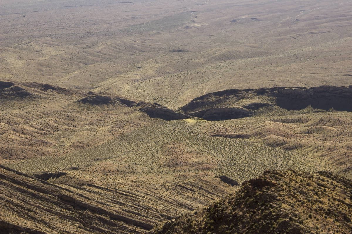
From here the route eases up considerably, albeit temporarily, following the wide slope towards the towering cliffs to the northeast. Hike in that direction. Occasionally cairns will appear, but it is best not to rely on these as they are sporadic. Good sense and route-finding knowledge will serve one well here.
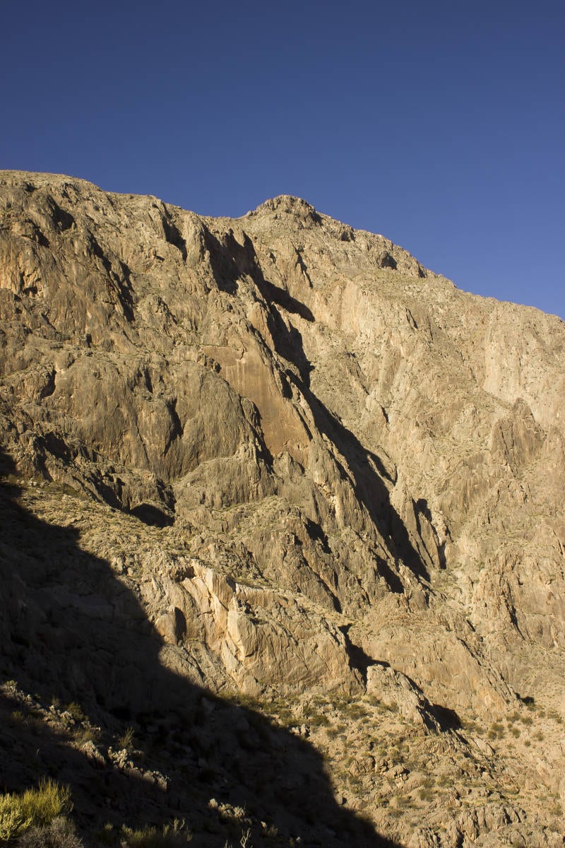
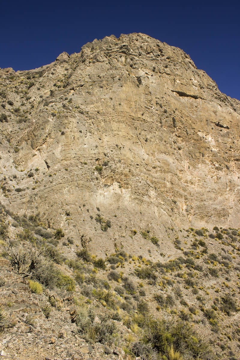
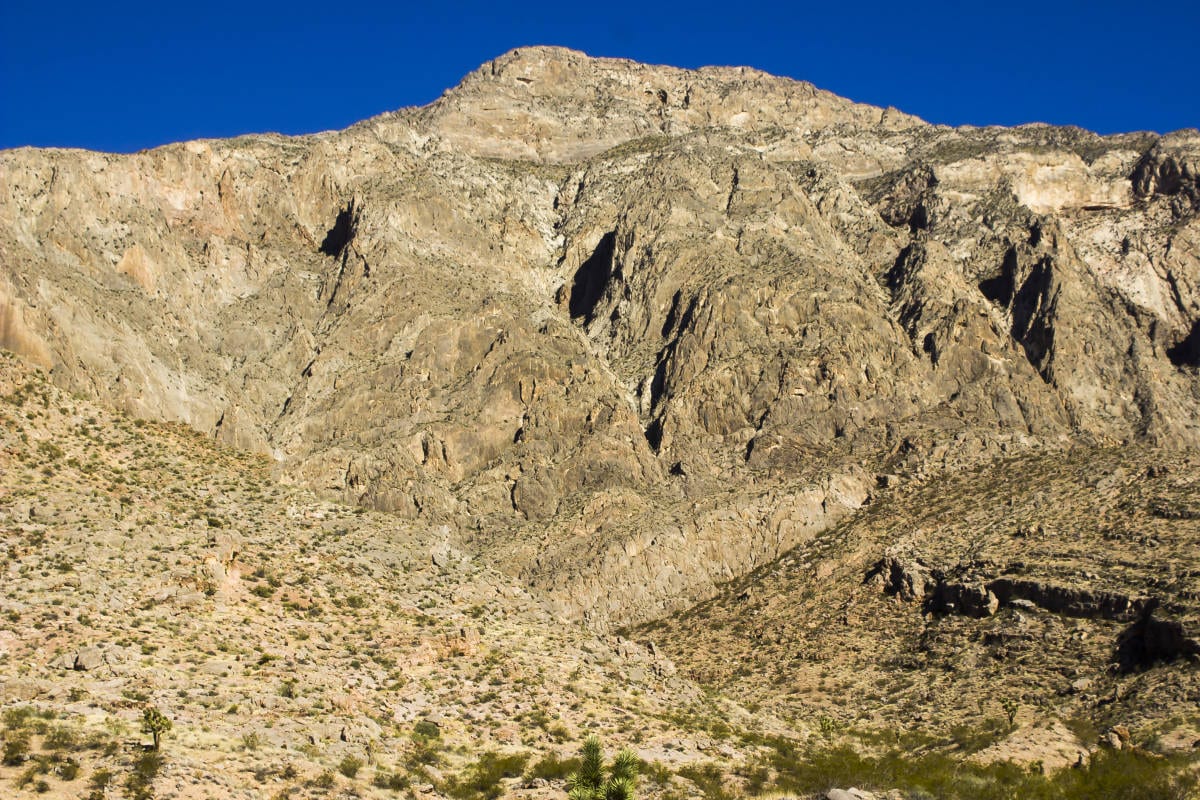
It is important to pay attention to the cliffs above. While they may appear as one set of towering cliffs, they are in fact two sets of cliffs separated by an angled terrace. It is really important to examine this mountain architecture before descending. We will get to why in a little bit.
Continue hiking up the slope until you reach the first set of cliffs. Walk right up to the base of them, and from there begin a eastward traverse along their base. The best trail seems to follow close to the base. Hike east, passing two large drainages. Right after the second drainage, making sure you don’t go too far past this second gully, look for cairns and a faint path heading straight up a steep slope from the trail. Hike and scramble up this slope for several hundred feet until you reach the summit ridge. To the west (left) is the renowned knife edge of Moapa.
This is where the fun begins.

While only third and fourth class, the knife edge is steep and frightfully exposed. Reminiscent of Angels Landing, only narrower and with no chains (or, thankfully, crowds), this ridge is 300 feet long and has sections where it is only a foot or two wide. Be extremely careful here. A fall would almost certainly be fatal. However, having said that, the climbing is delightful (if you like exposure and unroped climbing) and consistent for the full length of the ridge. Only at the end does it let up, and the summit is just a short distance away. After the intensity of the ridge, it is almost mandatory that you let out a loud summit shout, if only to relieve yourself of the tension. There is an ammo canister with a summit log inside. Our ascent was the first one since May.
Whatever goes up, must come down, including you. Yay. You get to cross the ridge one more time, but if you enjoyed it on the way over, you will enjoy it just as much on the way back. Again, pick your way extremely carefully for the duration of the climb. The last downclimb, a vertical 20-foot step, is the spiciest part of the return.

Now, remember what I was saying about the cliffs? It is imperative that when you descend from the ridge you don’t start traversing west too soon, as my climbing partner and I did. It is easy to do, as both sets of cliffs look remarkably similar. I even knew about this possible misadventure, and did it all the same. My partner and I traversed out to the far end of this upper terrace only to realize we were “cliffed out” and had to return to the ridge, wasting a good 45 minutes. A GPS is very helpful here, ensuring that you descend far enough to traverse back under the proper cliffband.
At this point, the descent is to retrace your steps. Be very careful throughout the descent, especially at the last downclimb at the 100-foot cliff above the saddle. You will likely be tired, if not exhausted, from so much climbing, and most climbing accidents do occur on the descent.
Articles related to “Hiking Southern Utah: Moapa Peak”
Hiking Southern Utah: The Northgate Peaks and North Guardian Angel


