
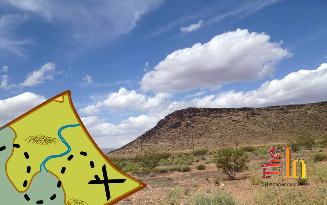

Hiking Southern Utah: T-Bone Hill
Trail Name: T-Bone
Location: Red Hills National Conservation Area, north of Pioneer Park
Difficulty: Easy to moderate, depending on the route taken

Elevation Gain: Over 200 feet
Average Time: One to 1.5 hours
Family-friendly: Yes, depending on the route taken
Dog-friendly: Leashed dogs are permitted
 T-Bone Mesa is a semi-prominent landmark of the St. George area, visible primarily from the eastern portion of Red Hills Parkway. The T-Bone trail that runs from Pioneer Park and ends at the Cottonwood-Turkey Farm Road is named for this interesting mesa. As a hiking destination, T-Bone Mesa provides stellar views, fun scrambling, and surprising isolation despite being close to civilization.
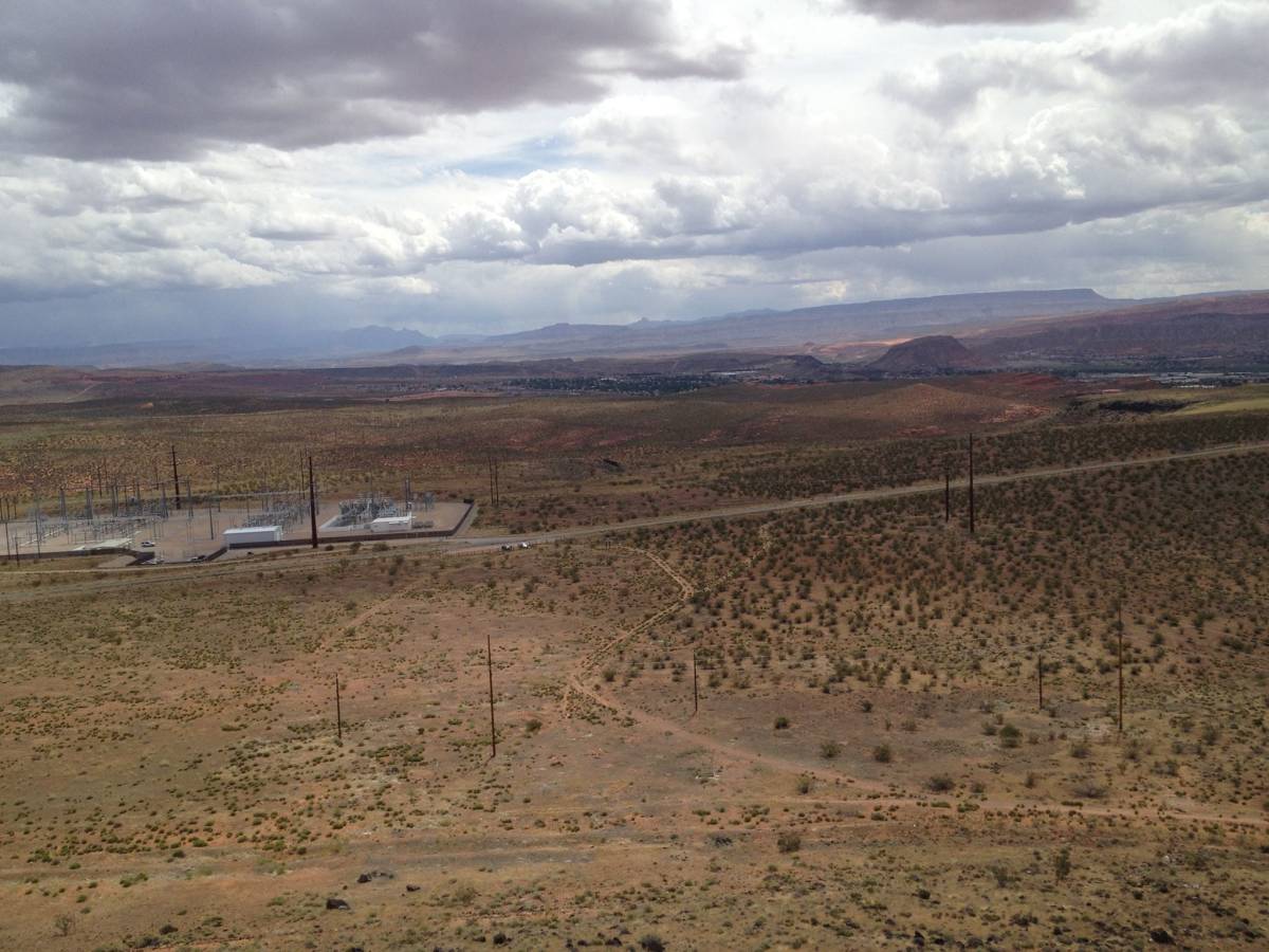
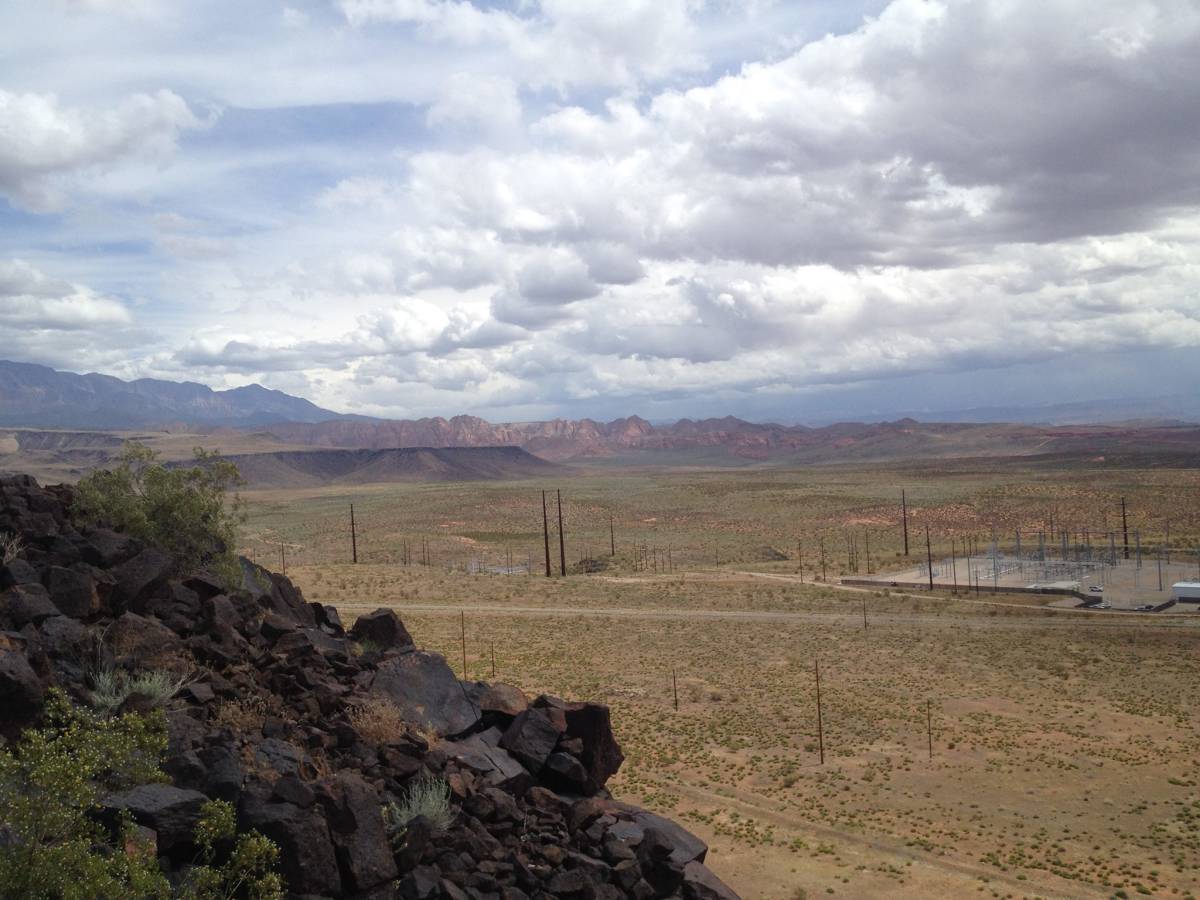
Access: There are multiple means of accessing T-Bone Mesa. The easiest is from Cottonwood Road. To find the trailhead, drive west from the junction of Green Springs Drive and Red Hills Parkway in Washington City 1.6 miles to Twin Lakes Drive-Cottonwood Springs Road (aka Cottonwood Road). Turn right and drive for 1.7 miles. Look for a power substation on the right. The trailhead will be on the left opposite this station. Park here.
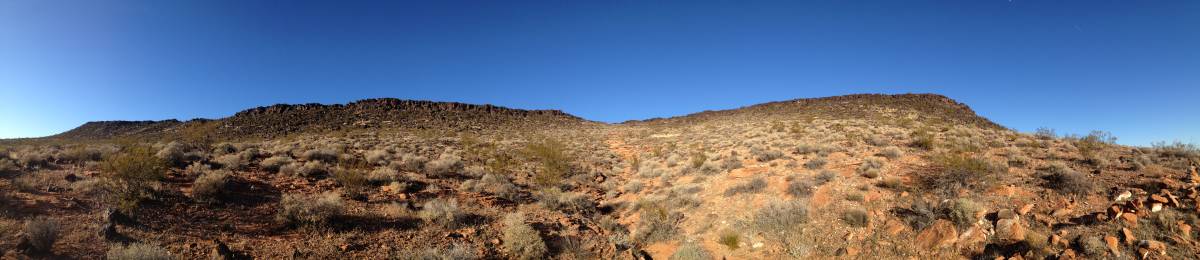
The trail strikes out towards the west, zig-zagging as it follows an old road. T-Bone Mesa is the black-rock formation due north of the trail. Initially, the path passes through a protected area where no off-trail travel is permitted, but as the trail crests a small rise, a side path appears heading towards the northwest. Take this trail. From here there are two options for climbing to the summit of T-Bone Mesa.
Option No. 1
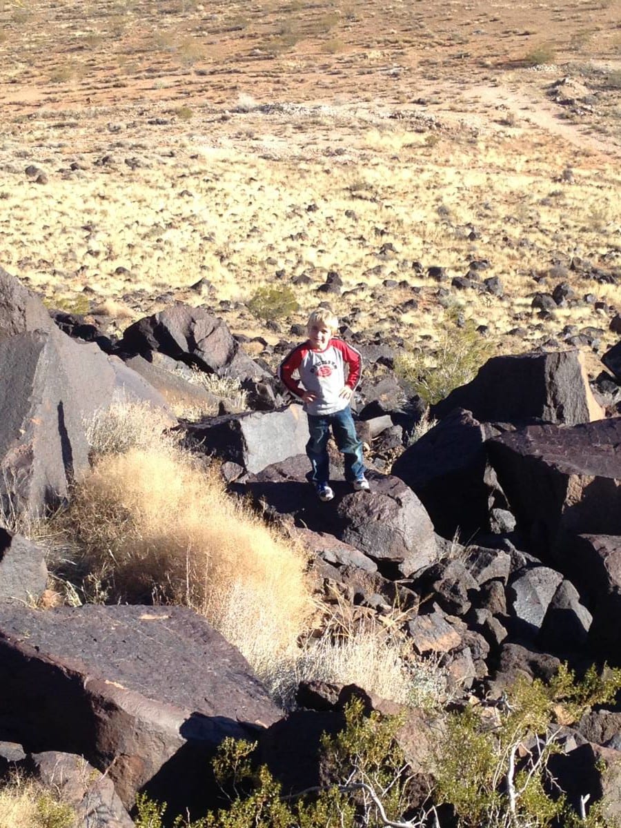
At the junction of the main T-Bone trail and the junction of the side trail, head north, away from both trails, and up the basalt rocks that lead toward the southern arm of the mesa. This is the most challenging option. As the slope steepens, the scrambling also increases in difficulty. There are numerous options for reaching the summit, but the most enjoyable (for those who appreciate steep rock and exposure) is to aim for a distinct notch in the south ridge, about 3/4 of the way to the top. Scramble up and through this notch. On the other side, continue gaining elevation, seeking the path of least resistance through the basalt. Soon the summit plateau will be reached. From here walk north, and then west to reach the far western arm of the mountain, where a flag and summit register await. For option #1, total roundtrip distance to the summit register and back is approximately 1.8 miles.
Option No. 2
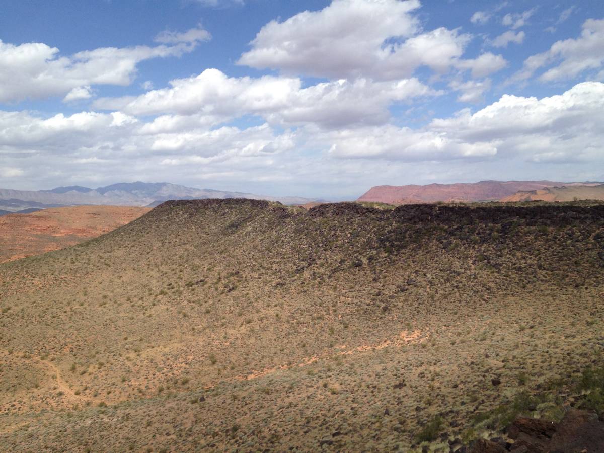
 The second option is the easiest. Follow the side trail as it heads northwest. When the trail bends towards the southwest, head off-trail upwards towards where the western and southern arms of the mesa meet. Try to remain on the bare rock as much as possible as you ascend. Once on top of the mesa, head west to the flag and register.
Descent: The most enjoyable way to descend is to continue west from the register, dropping down the ridge, but as the south ridge, it can be steep scrambling with some exposure and will not be suited to everyone’s tastes. If this option is chosen, descend until a faint trail running north-south is intersected. This is the same side trail that was taken from the main T-Bone trail. Follow it south, then northwest to the parking area. Taking this loop version adds approximately 0.1 miles to the hike.

Articles related to “Hiking Southern Utah: T-Bone Hill”
Hiking Southern Utah: Confluence Park is not your typical hike


