
 Written by Don Gilman

Hiking Southern Utah: The Kayenta Hellhole
Trail Name: Kayenta Hellhole
Difficulty: Moderate
Length: Approximately 3 miles roundtrip
Elevation Gain: 300–400 feet
Time Required: 2–3 hours
Family-Friendly: Yes, except for the upper reaches of the canyons
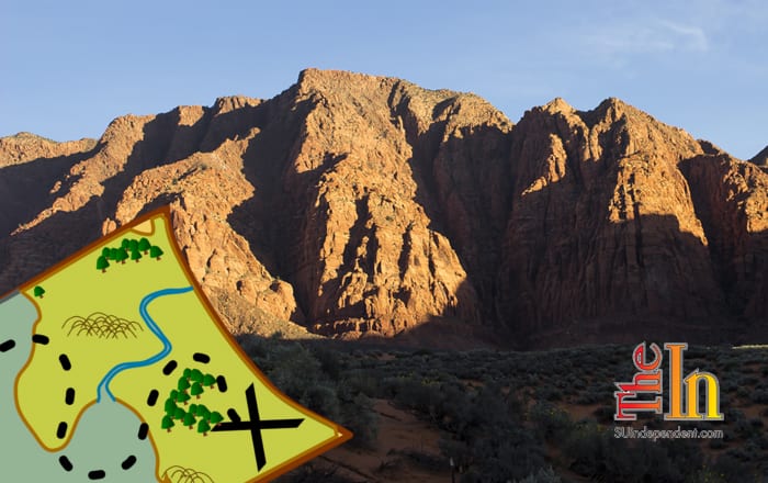
Hellhole Canyon, located at the edge of the Kayenta subdivision west of Ivins, is a superb, easy-to-attain canyon of towering rock walls well worth a few hours of hiking. While the route can be sandy and a bit laborious, it gains very little elevation and presents few obstacles for families with children. In summer, however, make certain to carry plenty of water, sunscreen, sunhats, and cool clothing for desert hiking. It is also advisable to start as early as possible to end the hike before the heat of the day becomes too withering. This trail has very little shade.
Access: From St. George, take Bluff Street north to Snow Canyon Parkway. Turn left and drive west approximately 6 miles on the Parkway and Center Street in Ivins (continuing straight through multiple roundabouts). At the final roundabout, take the first exit right onto 400 West, heading north towards Red Mountain. Drive for a little over one mile until 400 West turns into Taviawk Drive, and follow this street north and then west through the outskirts of Kayenta for three-quarters of a mile until a large dip in the road leads down toward a large wash. Where the road rises back up on the west bank, look for a small parking area on the right with room for only one or two vehicles. A small sign indicates that the route passes through private property, but respectful hikers are welcome to enjoy the trail.
The path quickly leads down the west bank into the wash. From here, there is very little of an official trail, but numerous footprints heading north in the wide wash show the way. This is the theme of the entire hike: Following the wash as it twists and turns its way north. The bottom of the wash is sandy with occasional rubble-strewn sections for most of its entire length, which makes for somewhat tedious hiking. However, the route makes up for it with outstanding views of the towering crimson and orange canyon walls — the south-facing aspect of Red Mountain Plateau — rising in some places over 1,000 feet high. As with any canyon in desert country, this is no place to be during flash flooding.
Despite being so close to civilization, this is a quiet, peaceful place to wander, and with the limitations on parking, there are rarely more than a few groups in the canyon at any time. Solitude is the rule here and not the exception. Hikers will hear more canyon wrens than human voices.
Continue up the wash as it heads north with the sandstone walls becoming increasingly narrow as the route moves toward the head of the canyon. The trail becomes increasingly rocky but never becomes difficult or dangerous. Eventually, the trail forks and the hiker has the option of entering either the western or eastern fork of the canyon. Either route will take you into spectacular terrain, but no matter which branch is taken, the route becomes increasingly difficult, especially for little ones. Experienced scramblers will delight in exploring the upper stretches of the ravine. Enjoy the quiet majesty of the canyon, and imagine the forces of nature carving this gorgeous spot over millions of years. When ready, simply reverse direction and head back to Taviawk Drive and the parking lot.
Articles related to “Hiking Southern Utah: The Kayenta Hellhole”
Hiking Southern Utah: Whiterocks Amphitheater to Awesome Chasm Traverse


