
 Excessive Heat Warning
Issued: 3:48 AM MDT Jul. 8, 2017 – National Weather Service
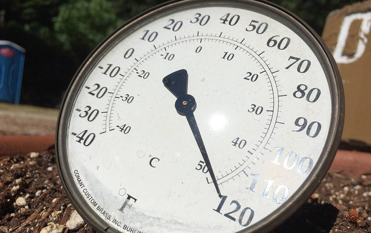
... Excessive heat warning remains in effect until 10 PM MDT this
evening...

* affected area... Utah's Dixie including St George and Zion
  National Park.

* Timing... after a warm overnight period, high temperatures today
  will range from 105 to 110.

* Impacts... dehydration and heat cramps may impact those who do
  not take precautions. Prolonged exposure to these hot
  temperatures can result in heat exhaustion and/or heat stroke.
  Avoid strenuous outdoor activities during the heat of the day.
  Never leave children or pets in the car alone, for any amount
  of time!

Precautionary/preparedness actions...

An excessive heat warning means that a prolonged period of
dangerously hot temperatures will occur. The hot temperatures
will create a dangerous situation in which heat illnesses are
likely. Drink plenty of fluids, stay in an air-conditioned room,
stay out of the sun, and check up on relatives and neighbors.

To reduce risk during outdoor work the occupational safety and
health administration recommends scheduling frequent rest breaks
in shaded or air conditioned environments. Anyone overcome by
heat should be moved to a cool and shaded location. Heat stroke
is an emergency - call 911.
Fire Weather Warning
Issued: 3:52 AM MDT Jul. 8, 2017 – National Weather Service
... Red flag warning remains in effect until 10 PM MDT Sunday for
dry thunderstorms and gusty outflow winds for fire weather zones
478... 479... 482... 483... 484... 489... 492... 493... 494... 495... 496...
497 and 498...

* affected area... fire weather zone 478 Salt Lake desert... fire
  weather zone 479 Wasatch mountains... fire weather zone 482
  western Uintah basin... fire weather zone 483 southern Ashley
  National Forest... fire weather zone 484 tavaputs plateau...
  fire weather zone 489 San Rafael Swell... fire weather zone 492
  central Utah west desert... fire weather zone 493 central Utah
  mountains...  fire weather zone 494 Henry Mountains... fire
  weather zone 495 color Country West desert... fire weather zone
  496 color country mountains... fire weather zone 497 Mojave
  Desert and fire weather zone 498 Grand Staircase.

* Thunderstorms... isolated to scattered dry thunderstorms will
  continue across much of the area through Sunday.

* Outflow winds... winds near high-based showers and dry
  thunderstorms will be gusty and erratic at typical speeds of
  30 to 45 mph.

* Impacts... the threat of dry lightning, gusty microburst winds
  and a Haines near 6 may be conducive to the start and rapid
  growth of new fires. It will remain near record temperatures
  with single digit rh in the valleys through tomorrow before
  rising to between 10 and 15 percent Sunday.

Precautionary/preparedness actions...

A red flag warning means that critical fire weather conditions
are either occurring now... or are imminent. A combination of
lightning... dry fuel conditions... and gusty microburst winds will
create favorable conditions for new fire starts and extreme fire
behavior.
Click This Ad


