
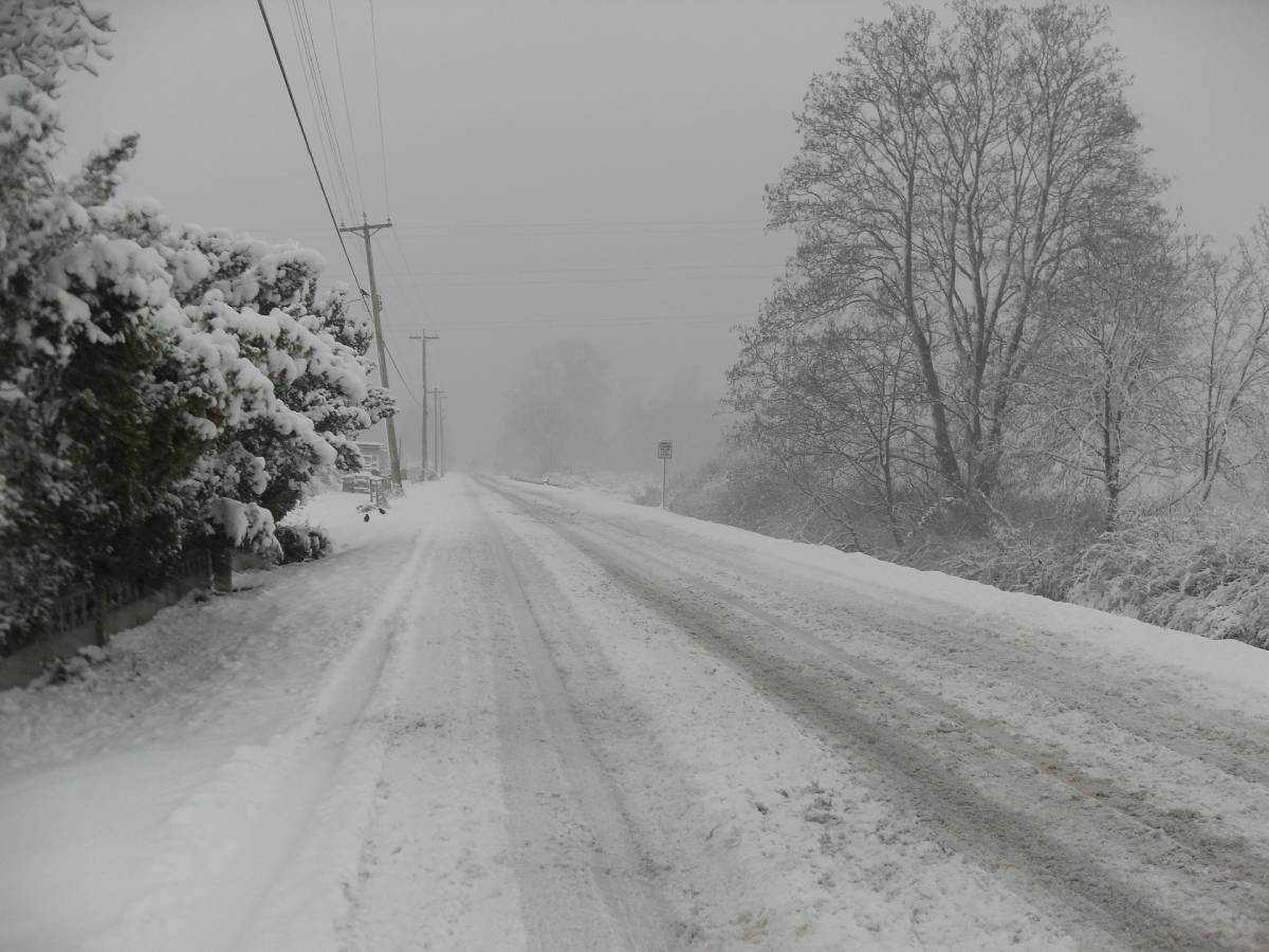
 The National Weather Service in Salt Lake City has issued a southern Utah winter storm watch which will be in effect through Monday evening, Feb. 1. The affected area for the winter weather advisory is the southern Utah mountains, with snow accumulations of one to two feet with higher localized amounts possible.
Snow began early Saturday morning and will continue, heavily at times, into Monday evening before tapering off.
Periods of heavy snowfall will result in hazardous winter driving conditions across the higher terrain of southern Utah through Monday night. Those traveling during this time should be prepared for hazardous winter driving conditions and plan accordingly.
A winter storm watch means there is potential for significant snow, sleet, or ice conditions that may impact travel. Use caution when traveling, especially in open areas, and be prepared for snow-covered roads.
In more general terms, the National Weather Services defines their announcements as follows:
- Winter Weather Advisory: Be Aware
- Winter Weather Watch: Be Prepared
- Winter Weather Warning: Take Action!
For winter road conditions from the Utah Department of Transportation or for information on potential travel impacts, visit http://udottraffic.Utah.Gov/roadweatherforecast.Aspx or dial 511.
For more information from noaa/national weather service, visit
http://weather.gov/saltlakecity


