

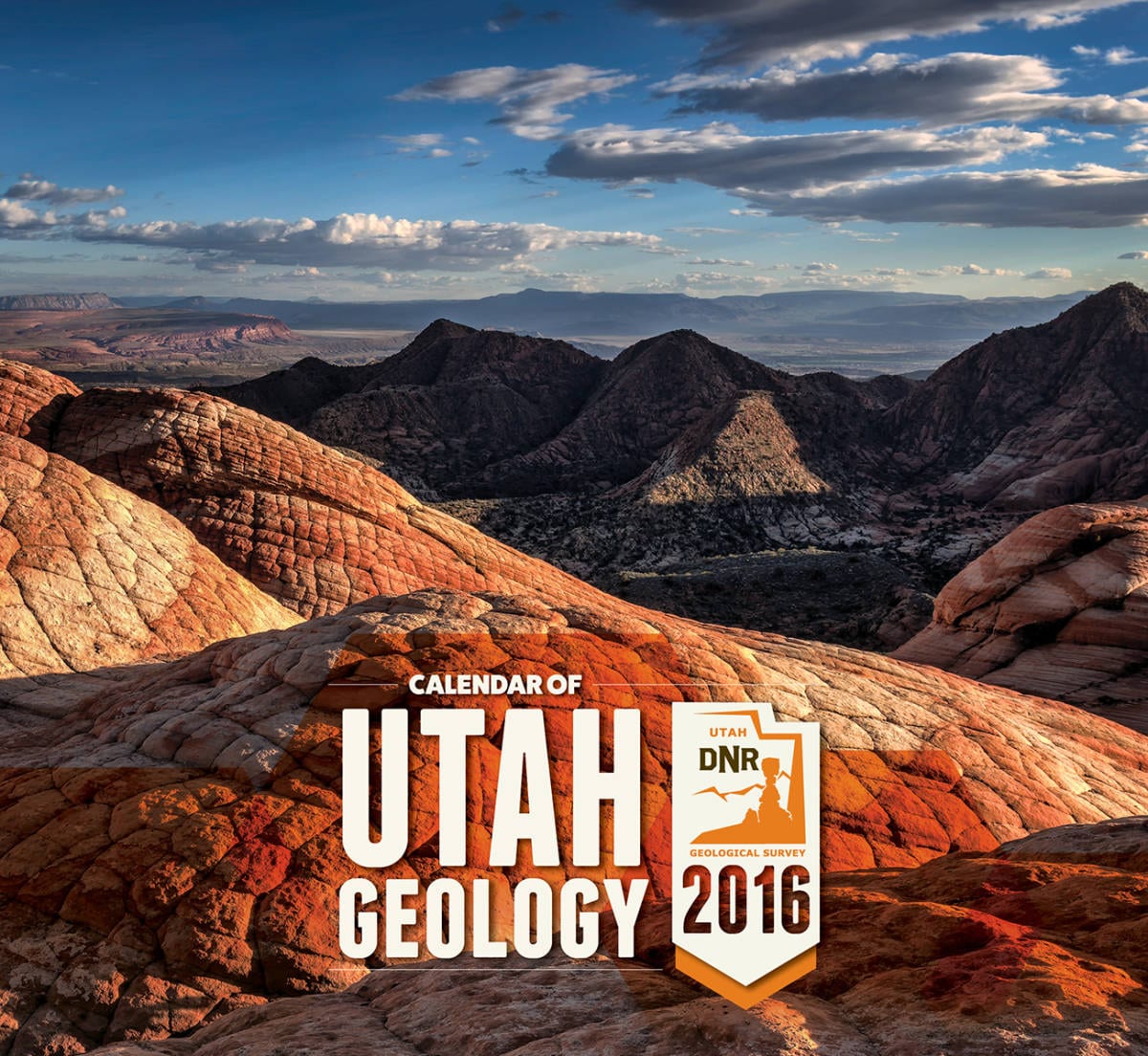
The Utah Geological Survey, which provides timely scientific information about Utah’s geologic environment, resources, and hazards, released its 2016 calendar of Utah geology. The Utah Geological Survey 2016 calendar features some of Utah’s most rarely seen vistas as photographed by UGS staff as they travel the state researching and studying these geologic wonders.

“Our study of the state’s geology and hazards often takes us into Utah’s most isolated, unique and beautiful areas; places relatively unknown to most residents,” said Vicky Clarke, UGS publications manager. “We hope families throughout Utah will enjoy this year’s calendar and perhaps use it as a resource as they identify places they’d like to explore together.”
Here are five must-see landscapes identified by UGS staff and highlighted in the 2016 Calendar of Utah Geology.

Happy Canyon
Located southeast of Hanksville in Garfield County just above the confluence with the Dirty Devil River, Happy Canyon deeply and abruptly cuts and sculpts the White Rim Sandstone of the Permian-age Cutler Formation.
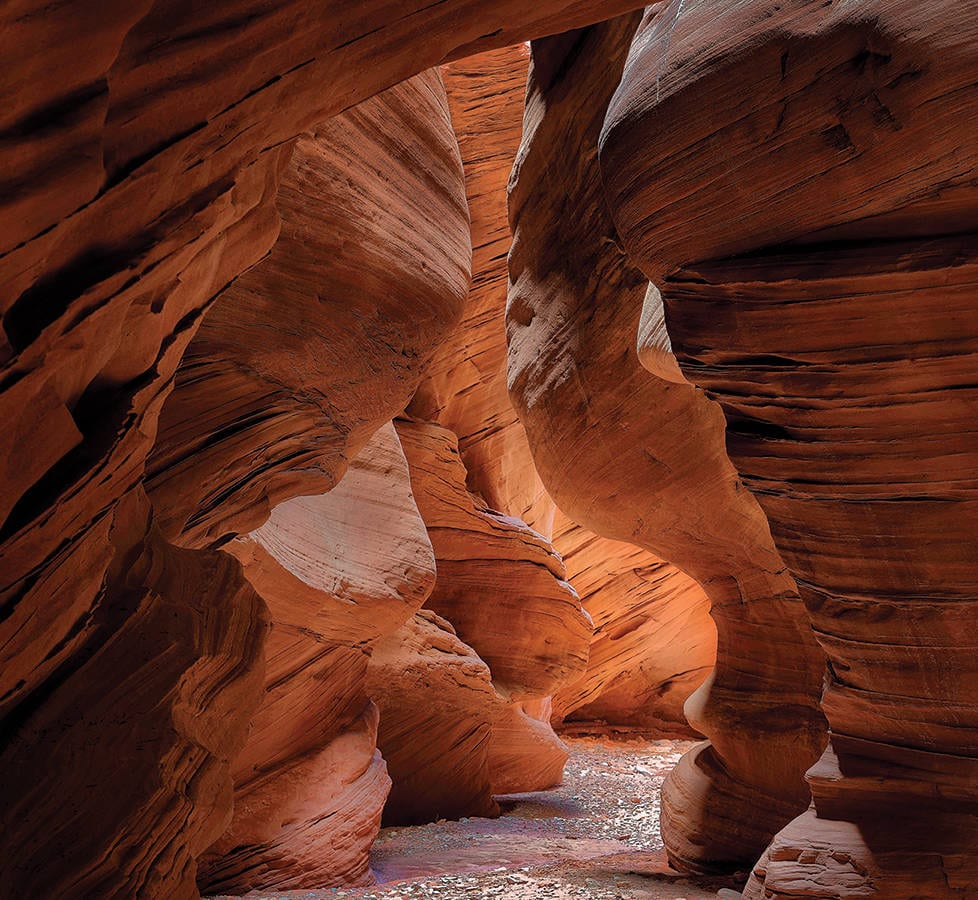
Yant Flat
Located in Washington County above the Virgin River Valley, Yant Flat showcases outcrops of the Jurassic-age Navajo Sandstone. Weathering patterns and oxidized and reduced mineral cements produce interesting rock patterns, textures and colors.

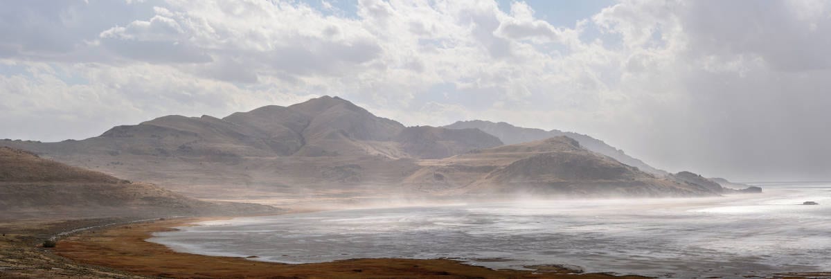
Newfoundland Mountains
Located in southern Box Elder County, the mountain range is encircled by the Great Salt Lake Desert salt flats. The top of Desert Peak, the highest point in the range, is 7,005 feet, and the mountains are one of the most isolated mountain ranges in Utah.
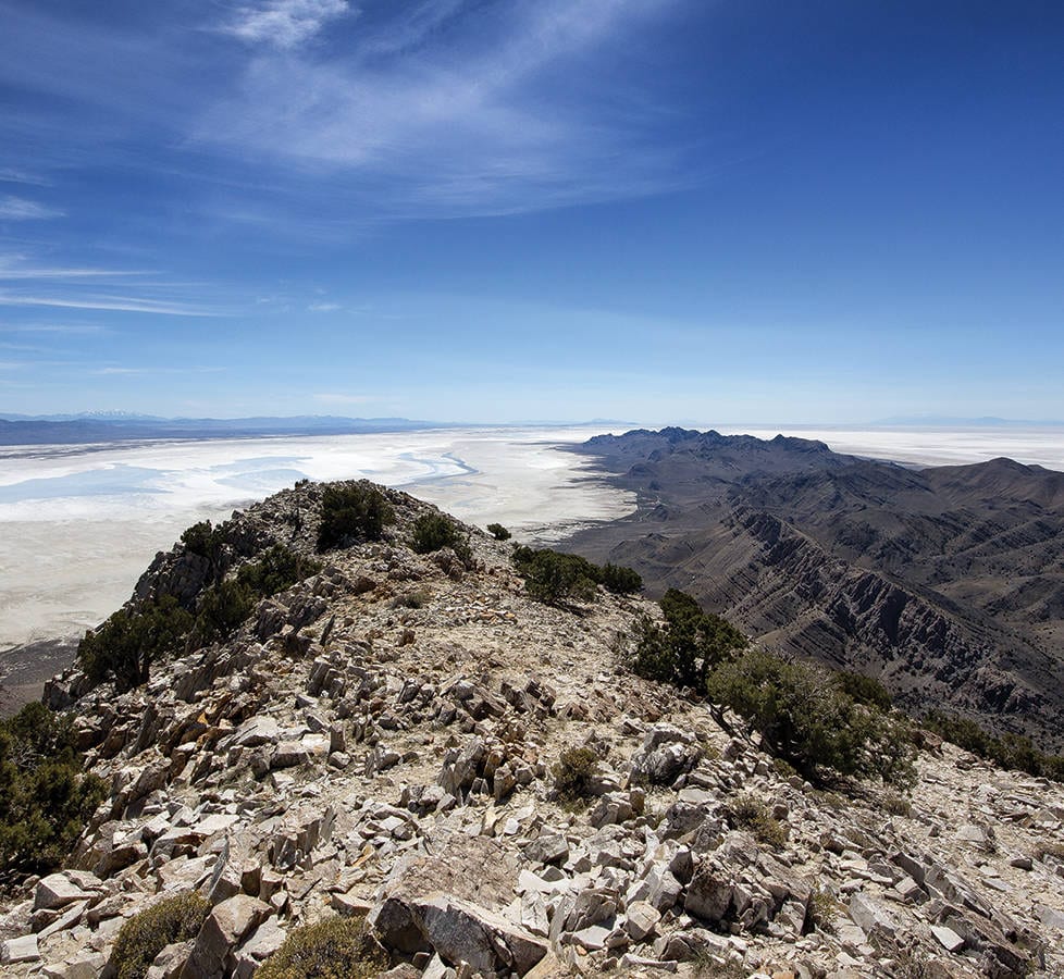
Antelope Island State Park
Located in Davis County, Antelope Island is the largest of about a dozen islands in the Great Salt Lake. Numerous ancient lake shorelines cross the slopes of Antelope Island, recording the rise and fall of Ice Age Lake Bonneville.

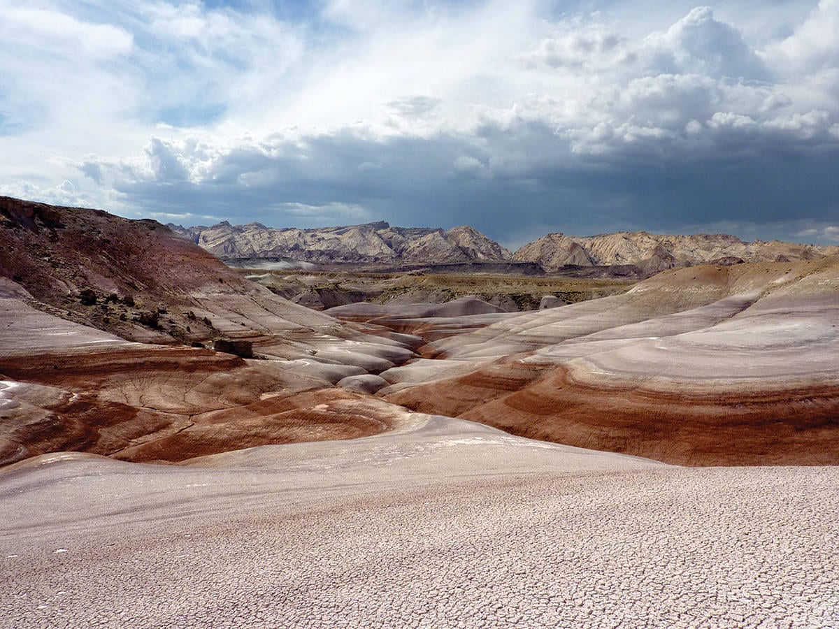
San Rafael Swell
Near Muddy Creek in Emery County, the eastern flank of the San Rafael Swell exposes colorful and rounded slopes typical of the Jurassic-age Morrison Formation. Clayey bentonite beds in the Morrison often have a distinctive “popcorn” weathering texture that results from expanding clay minerals.
More than 280 photos taken by UGS staff were submitted for consideration. Of those, 32 were selected from 15 staff members. The 2016 calendar is available for $4.95 ($4.25 each when ten or more are purchased together) at the Natural Resources Map and Bookstore, located at 1594 W. North Temple in Salt Lake City, or online at mapstore.utah.gov.


