
 ===============================
Severe Watches and Warnings for Saint George
===============================
THE NATIONAL WEATHER SERVICE IN SALT LAKE CITY HAS ISSUED A
* FLASH FLOOD WARNING FOR…
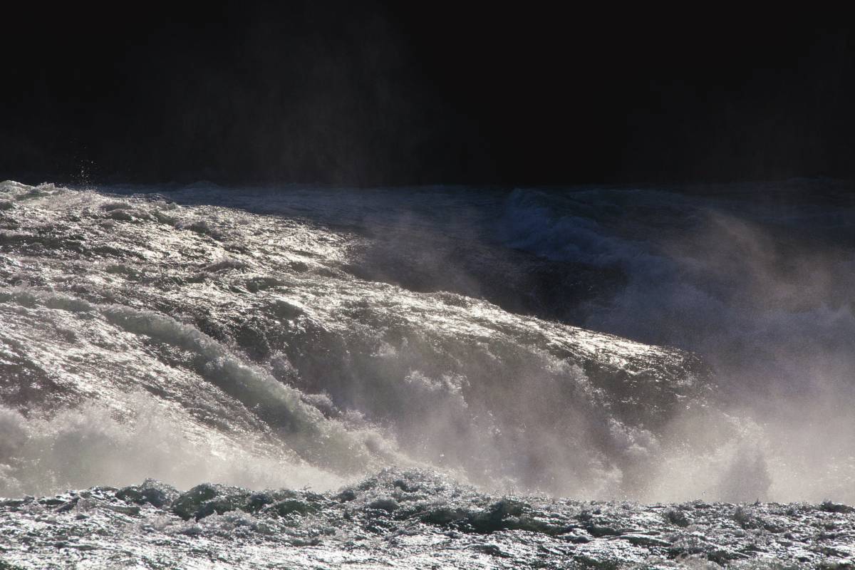
EAST CENTRAL WASHINGTON COUNTY IN UTAH…
* UNTIL 5:45 PM MDT
* AT 2:46 PM MDT…DOPPLER RADAR INDICATED A THUNDERSTORM PRODUCING
HEAVY RAIN OVER THE NORTH FORK OF THE VIRGIN RIVER INCLUDING THE
ZION NARROWS. RADAR ESTIMATES INDICATE THAT UP TO THREE-QUARTERS
OF AN INCH OF RAIN HAVE FALLEN.
PRECAUTIONARY/PREPAREDNESS ACTIONS…
MOVE TO HIGHER GROUND NOW. ACT QUICKLY TO PROTECT YOUR LIFE.
UPDATE
The national weather service has now also issued the following weather watch
Flash Flood Watch in effect until 9 PM MDT this evening...

The National Weather Service in Salt Lake City has expanded the

* Flash Flood Watch to include a portion of southern Utah...
  including the following area... utahs Dixie and Zion National
  Park.

* Until 9 PM MDT this evening

* deep layer moisture supported by a weak weather disturbance
  aloft will produce numerous showers and scattered thunderstorms
  through this evening. These showers and storms will be capable
  of producing locally heavy rainfall. The potential for heavy
  rain will continue into this evening before dissipating.

* Normally dry washes... small streams... slot canyons... and area
  streams in steep terrain will be most prone to flooding.
  Additionally travel will become difficult on backcountry
  roadways due to the heightened potential of Muddy conditions.

Precautionary/preparedness actions...

A Flash Flood Watch means that conditions may develop that lead
to flash flooding. Flash flooding is a very dangerous situation.

You should monitor later forecasts and be prepared to take action
should flash flood warnings be issued.
For more information go to The National Weather Service site
Click This Ad


