
Hellhole Canyon Trail in the Red Cliffs Desert Reserve
Trail: Hellhole Canyon Trail
Location: Red Cliffs Desert Reserve north of Ivins
Difficulty: Easy. However, if you travel in the wash (either upstream or downstream) the hike becomes tedious due to the abundance of rocks in the wash. The trail above the wash to the west is much easier and faster.
Average Hiking Time: Three hours at a leisurely pace.
Elevation: The trailhead elevation is 3,160 feet with an elevation change from the lowest to the highest point along the trail of approximately 400 feet.
Family Friendly: Yes if you use the trail above the wash to the west. Hiking in the wash is probably not a good idea for small children.
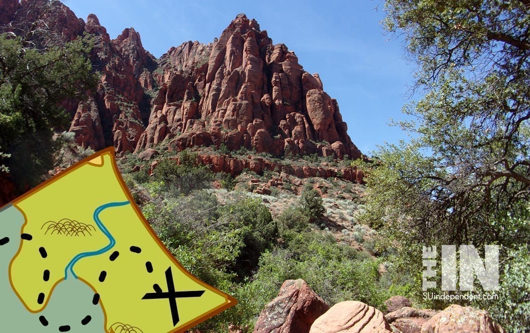
Getting There: From St. George, travel north on Bluff Street (aka State Route 18) and take the Snow Canyon Parkway exit. Along Snow Canyon Parkway/Center Street, are four traffic circles. The second traffic circle is about 3.8 miles along the Parkway and as you exit to the west, the road becomes Center Street in Ivins. Continue west on Center Street encountering the third traffic circle at 4.9 miles. At 5.5 miles is the fourth traffic circle at 400 West Street. Enter the circle and exited right (north) onto 400 West. Proceed north on 400 West (which becomes Taviawk Drive) for 1.7 miles and look for a large Kayenta sign on the left (west) side of the road. Limited parking is available in the pullout near the Kayenta sign. There are no toilets or water at the trailhead.
Hellhole Canyon sounds like, well, a hellhole. But, nooo, it should be renamed beautiful canyon for that is what it is. Or, if describing the actual hike, it should be named “A Billion Rocks in the Wash, Leading to the Rocky Canyon” to reflect reality. My wife, Deb, and I have hiked some trails in the Hellhole Canyon area, but never the Hellhole itself. It is a close-by, easy hike to a spectacular red rock canyon. Except for the very beginning, the trail is in the Red Cliffs Desert Reserve.
The Reserve was established in 1996 to protect a large and diverse habitat capable of sustaining wildlife populations threatened by development and habitat loss. It comprises 62,000 acres and has more than 130 miles of shared-use trails for hiking, horseback riding, and mountain biking. Three ecosystems—the Mojave Desert, the Great Basin Desert, and the Colorado Plateau—merge in southwestern Utah and the Reserve reflects the biological diversity of this unique region. The Red Cliffs Desert Reserve Habitat Conservation Plan is administered by Washington County in coordination with the Bureau of Land Management, the US Fish and Wildlife Service, Utah Department of Natural Resources, and the Utah School and Institutional Trust Lands Administration.
In mid-May, we began our newest adventure. From our domicile north of Interstate 15 in Washington, we drove west on Red Hills Parkway, crossed Bluff Street (aka State Route 18), and headed northwest on Snow Canyon Parkway. Along Snow Canyon Parkway/Center Street, are four traffic circles. The second traffic circle is about 3.8 miles along the Parkway and as we exited to the west, the road becomes Center Street in Ivins. Continuing west on Center Street we encountered the third traffic circle at 4.9 miles. At 5.5 miles is the fourth traffic circle at 400 West Street. We entered the circle and exited right (north) onto 400 West. Proceeding north on 400 West (which becomes Taviawk Drive) for 1.7 miles we looked for a large Kayenta sign on the left (west) side of the road. Limited parking is available in the pullout near the Kayenta sign. There are no toilets or water at the trailhead.
We arrived at the trailhead about 9:00 am under blue Utah sky with the temperature in the low 70s. The trailhead elevation is 3,160 feet with an elevation change from the lowest to the highest point along the trail of about 400 feet.
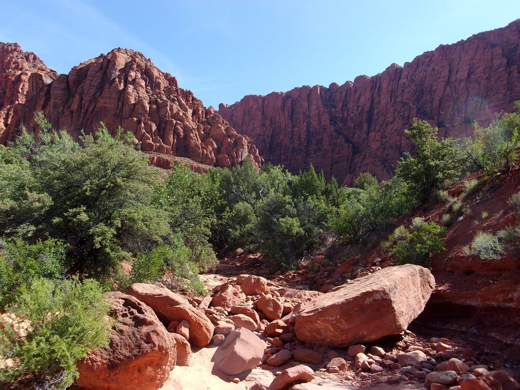
The trail begins across the street from the Kayenta sign. The first 100 yards or so of the trail is on private property, be respectful. There were several users trails into the wash—we chose one and began our hike. Within less than 100 yards from the road was a trail sign for Hellhole Canyon. We were in the right place. This trail sign was the only one we saw during the entire hike. (According to the Bureau of Land Management’s write-up, this dry wash is named, wait for it, Dry Wash.) Portions of the wash are sandy, most rocky. Like most washes on a relatively flat plain, this one is twisted like an uncooperative garden hose with many changes in direction but goes north as a whole.
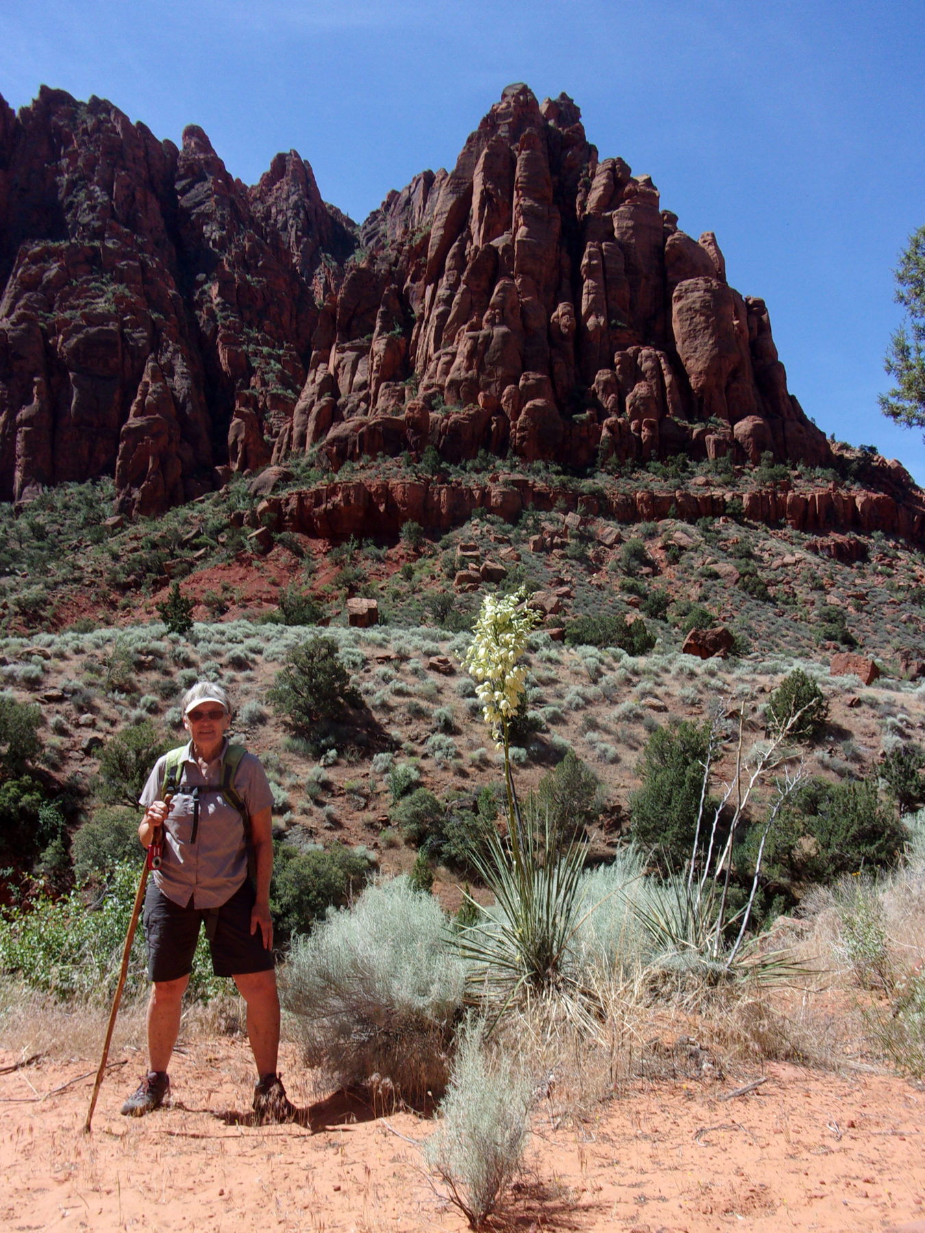
Being spring, after a fairly wet winter, there are plenty of desert flowers in bloom and many lizards admiring the flowers. We also saw several rabbits scampering away and many birds serenaded us with their songs.
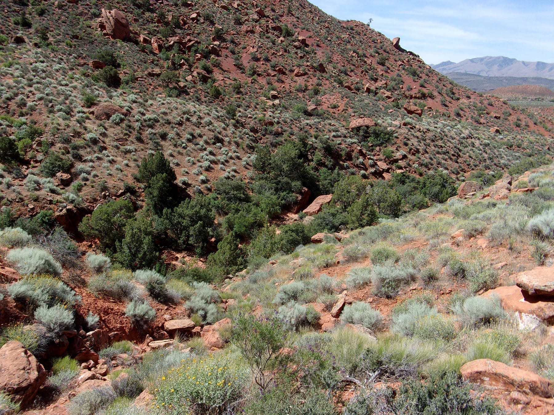
It is slow going in the wash, mostly due to jumbles of red rocks. One might even say it was tedious. There are user trails on the west bank above the wash. While making the hike easier and faster, we were in no hurry and decided to enjoy and explore all the wash offered by avoiding the user trails above, at least for the upstream leg of our journey.
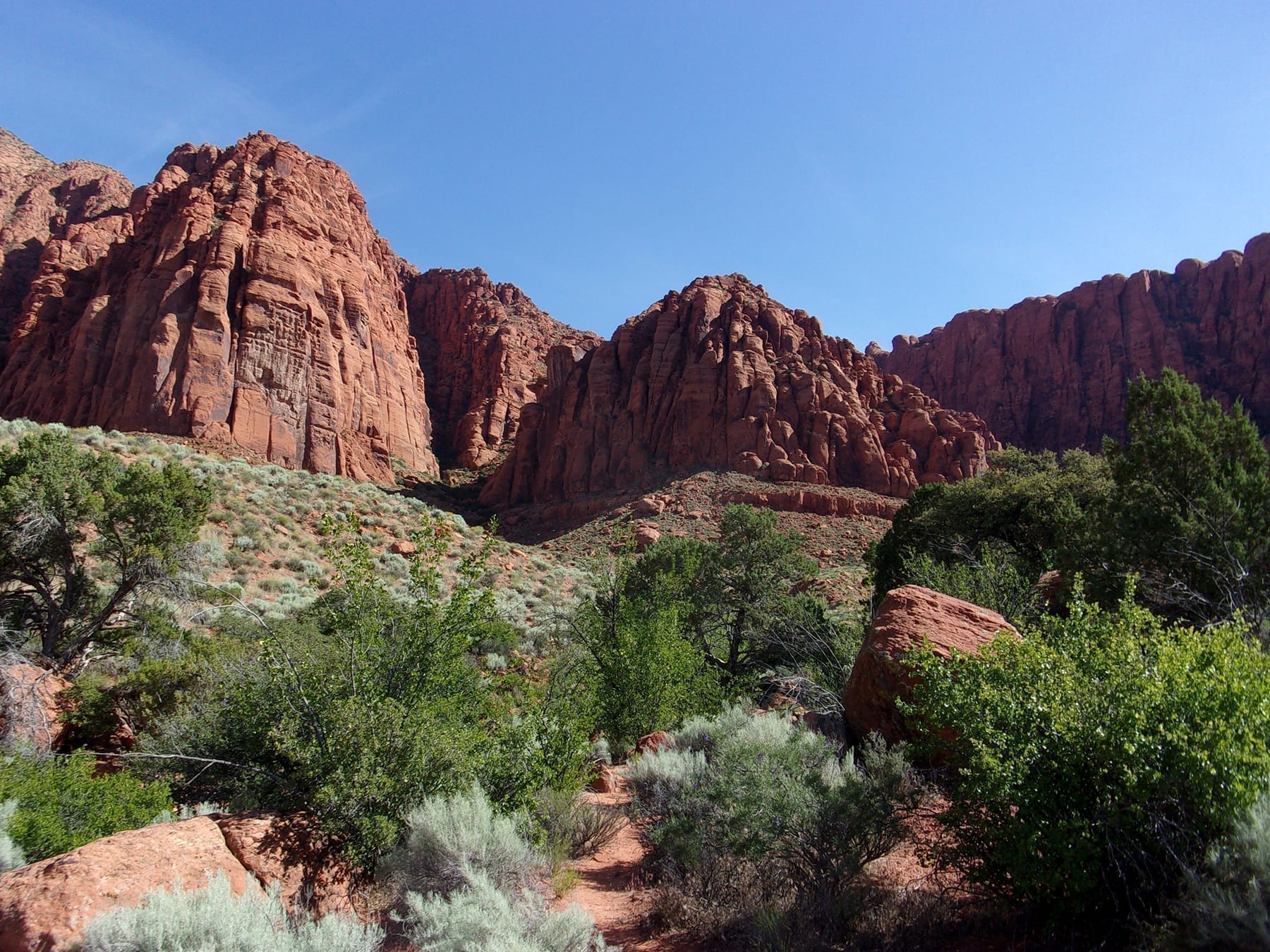
Hiking upstream, the gentle slopes of the wash grew, to towering red rock canyon walls to the east and north. At about 1.7 miles in is a fork in the trail. To the left (west) is Hellhole Spur Trail, the right (east) goes into Hellhole Canyon—our destination.
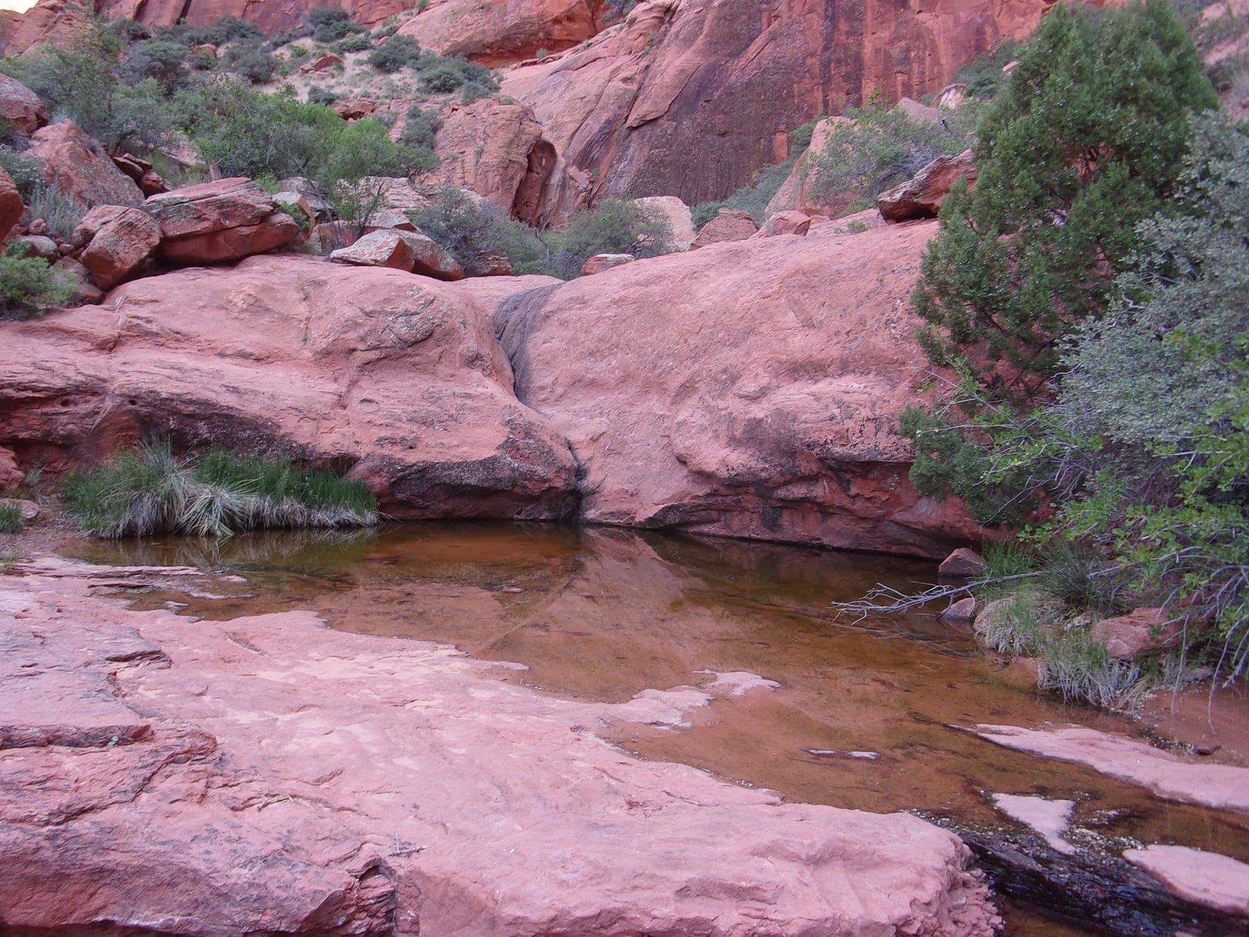
The trail became steeper with larger boulders littering the canyon floor. We also came across several pools of water. About .5 mile into the now narrow canyon we reached a large pool below a tall rock shelf with steep climbs around either side, our turn around point.
For our return trip, we chose the easy route on the relatively flat and rock free west bank above the wash. The main benefit of this route, besides being much easier and faster, was the unobstructed great views of Hellhole Canyon and surrounding red cliffs.
Our mid-week hike was about 4.7 miles round trip and took around three hours. We did not see another person on the trail. If you want an easy hike to an amazing canyon, use the trail on the west side above the wash. For the more adventurous, hike up to Hellhole Canyon in the wash. The latter is slower, and sometimes tiresome navigating all the rocks, but is more of a challenge.
Whichever route you use I strongly recommend this adventure—an easy hike featuring great views and, typical of Utah, appealing red rock structures.


This posting is directing people to illegally park for easier access to Hellhole Any such car that parks in the suggested area can and will be towed. Please edit this article to encourage people to only park at the trail-head near the Kayenta sign
There is only one trailhead for Hellhole Canyon, the one at the parking area on Taviawk Drive. Parking there is limited for a reason; if the parking spaces are full you need to find another trail to hike. Hiking off the trail destroys the delicate desert surface that supports the plant and animal life of this fragile environment. There is no public access to the trail from the residential area west of the Taviawk trailhead and no parking is allowed on the private streets in that area. If you park on the residential streets, your car will be towed. If you trespass through homeowners’ property, the police will be called.