
High Point Trail in the Red Cliffs Desert Reserve
– By Tom Garrison –
Location: Red Cliffs Desert Reserve, Utah
Difficulty: Easy along an old, mostly rocky, maintenance road with a small total elevation gain, although there are up and down sections.
Average Hiking Time: Two hours at a leisurely pace with many stops for photos.
Elevation: The trailhead elevation is 4,170 feet, with an approximately 150 feet elevation change from the trailhead to the end of the trail.
Family Friendly: A little rocky. Watch your step, and everyone should be okay.
Getting There: From St. George, go north on 3050 East Street/Green Springs Drive, cross under Interstate 15 (at exit 10), and turn left (west) onto Red Hills Parkway. Continue on Red Hills Parkway for 1.6 miles and turn right (north) onto Cottonwood Springs Road (aka 1550 East). Staying on the main road, drive 6.5 miles to the signed “Black Gulch” trailhead on the right (east). (It is about 1.2 miles past the signed Yellow Knolls Trailhead.) The first three miles of Cottonwood Springs Road are paved, the remainder a good dirt road that poses no problem for a standard sedan.
Or from downtown St. George go north on 1000 East and turn right (east) on Red Hills Parkway. Take the Parkway .7 miles and turn left (north) onto Cottonwood Springs Road. Follow the above directions from there.
Sometimes you need a getaway hike—you know, close by, easy, and with good views of southwest Utah’s varied landscape. If you want to be alone, this is the hike for you. We did not see another person at the trailhead or on the trail.
Our latest adventure, a getaway hike, took us along High Pont Trail in the Red Cliffs Desert Reserve. It is an easy hike along an old, mostly rocky maintenance road featuring an old water pipeline at the end, good views to the north, Yellow Knolls area to the south, and a remote valley to the south and east at the trail’s end.
The Red Cliffs Desert Reserve was established in 1996 to protect a large and diverse habitat capable of sustaining wildlife populations threatened by development and habitat loss. It comprises 62,000 acres and has more than 130 miles of shared-use trails for hiking, horseback riding, and mountain biking. Three ecosystems—the Mojave Desert, the Great Basin Desert, and the Colorado Plateau—merge in southwestern Utah, and the Reserve reflects the biological diversity of this unique region.

My wife, Deb, and I began this adventure on a clear mid-October morning and arrived at the trailhead at about 9:30 AM. The trailhead has a large parking area without water or toilets. It is the starting point for three trails, Black Gulch Trail, High Point Trail, and Lange’s Dugway Trail. The trailhead elevation is 4,170 feet, the temperature in the mid-60s, and the cloudless sky a deep blue as we geared up. Since High Point Trail is in the Red Cliffs Desert Reserve, there are no fees or permits necessary.
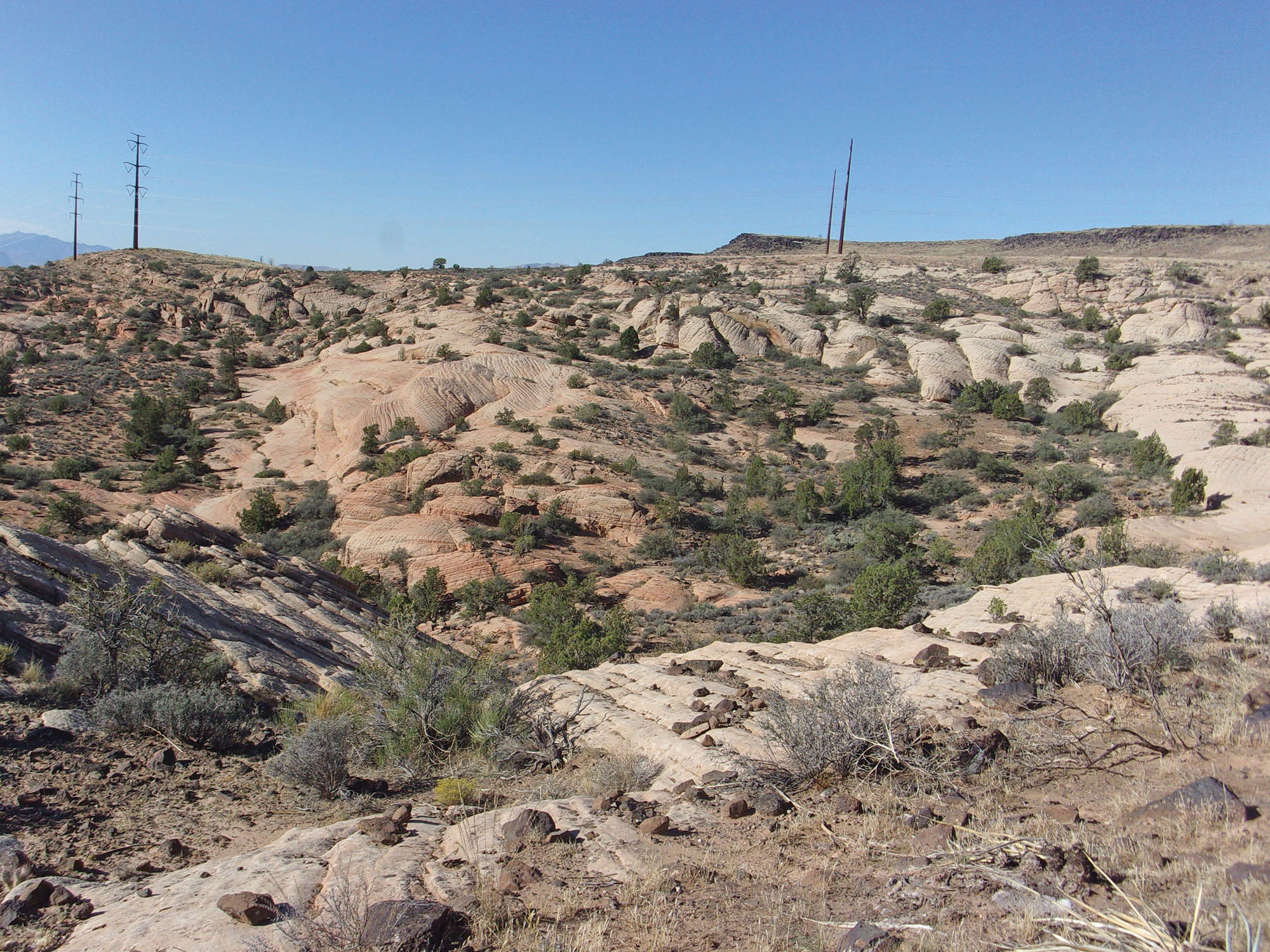
From the trailhead stepover, we went north a short distance and very soon came to an old powerline maintenance road heading northeast. About ½ mile from the trailhead, we passed a signed junction with the north end of Yellow Knolls Trail. The area around the junction was a good site for photos of Yellow Knolls.
Approximately one mile from the trailhead was a fork in the trail. The maintenance road went left and the trail, with a helpful trail sign at the fork, went right. We went right off the main road at the trail sign and onto an old two-track, rocky access road skirting around a large white rock outcropping. We soon turned to the east along the northern edge of the outcropping.
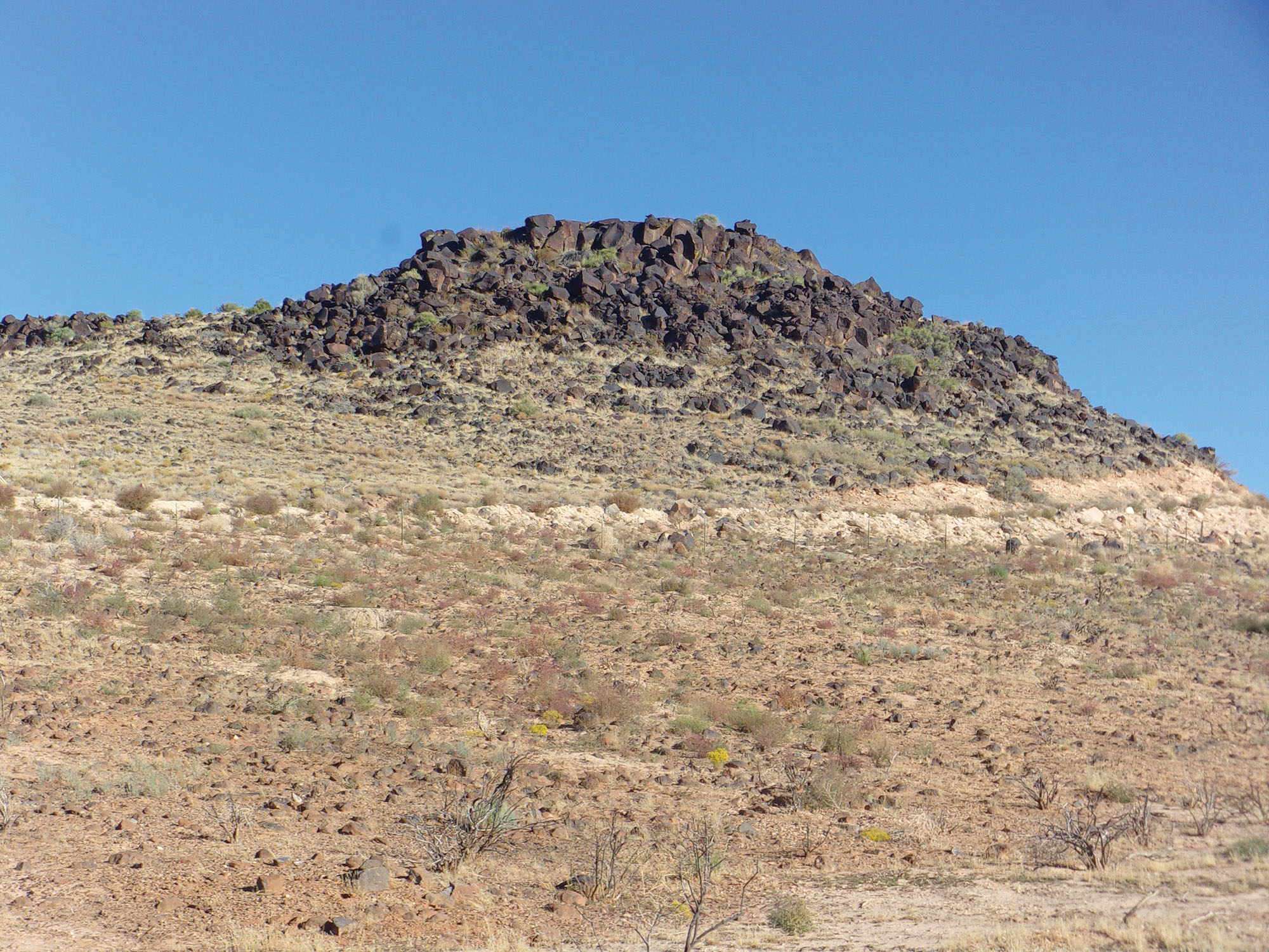
Here we went downhill into a small valley and saw our endpoint, the St. George water pipeline. The valley was mostly sculpted white sandstone with black volcanic rocks topping the surrounding mountains. We made our way to the pipeline and were surprised to hear water running through it. It may have been old, but it was still carrying water down from the mountains.
After exploring the area for a while, we headed back. On the way out and back, we noticed something we don’t usually see. It must have been grasshopper season, for we saw dozens of them hopping and flying about. Of course, lizards were hungry and chasing the grasshoppers. Not to be left out, birds were chasing the grasshoppers and lizards.
The hike is about a 2.8-mile out-and-back trip and took about two hours with many photo stops. This adventure is for hikers who feel confident walking on rocky trails and who prefer avoiding other folks on the trail. If you meet that criteria, this a great hike very close to St. George.
Viewpoints and perspectives expressed throughout The Independent are those of the individual contributors. They do not necessarily reflect those held by the staff of The Independent or our advertising sponsors. Your comments, rebuttals, and contributions are welcome in accordance with our Terms of Service. Please be respectful and abide by our Community Rules. If you have privacy concerns you can view our Privacy Policy here. Thank you!
Click here to submit an article, guest opinion piece, or a Letter to the Editor


