
===============================
Severe Watches and Warnings for Saint George
===============================
URGENT – WINTER WEATHER MESSAGE
National Weather Service Salt Lake City UT
312 PM MDT Mon Apr 8 2019
…POTENT SPRING STORM TO IMPACT UTAH MIDWEEK…
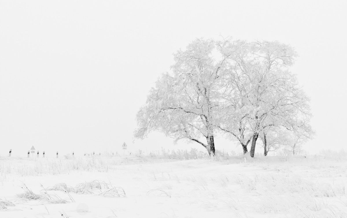
.A potent spring storm will settle into the western Great Basin
early Tuesday, then take aim on Utah for late Tuesday through
Thursday morning. A strong cold front will lead this storm into
northwest Utah Tuesday afternoon, then sweep east across the
state Tuesday night through Wednesday. Intense snow showers along
with a few thunderstorms will develop along the frontal boundary,
followed by a prolonged period of steady snow across northern and
central Utah’s mountains and adjacent valleys. The heaviest snows
are expected across the central and southern Wasatch Mountains
and the central Utah mountains.
…WINTER STORM WARNING IN EFFECT FROM 6 PM TUESDAY TO 10 AM MDT
THURSDAY…
* WHAT…Heavy snow expected. Total snow accumulations of 6 to 12
inches expected. Winds gusting as high as 55 mph.
* WHERE…Southern Mountains.
* WHEN…From 6 PM Tuesday to 10 AM MDT Thursday.
* ADDITIONAL DETAILS…Plan on slippery and snow packed road
conditions, especially during the overnight hours. Blowing and
drifting snow could make travel quite difficult or impossible.
PRECAUTIONARY/PREPAREDNESS ACTIONS…
A Winter Storm Warning for snow means severe winter weather
conditions will make travel very hazardous or impossible. If you
must travel, keep an extra flashlight, food and water in your
vehicle in case of an emergency.
For winter road conditions from the Utah Department of
Transportation, visit
http://www.udottraffic.utah.gov/roadweatherforecast.aspx or dial
511.


