Location: Red Cliffs Desert Reserve near Harrisburg Junction, about six miles northeast of St. George..
Difficulty: Generally easy with long stretches of loose deep sand, some rocky stretches, and a few places where tall dry falls must be avoided by circling around them. There is little elevation change on the hike.
Average Hiking Time: About 1 ½ hours at a leisurely pace with many photo stops. The hike is about .2.2 miles round trip.
Family Friendly: Generally yes. The hike may be a bit much for small children.
Finding the Trailhead: From St. George travel north on Interstate 15, departing the freeway at Exit 16, State Route 9 (aka West State Street), toward Hurricane. About 1.1 miles from the beginning of Exit 16 turn right (south) and exit State Route 9 at the first opportunity. This exit is unnamed other than State Route 9 exit. Stay on this exit for about .1 mile as it circles around and intersects North Coral Canyon Boulevard. Turn right (northeast) onto North Coral Canyon Boulevard and cross under State Route 9. Stay on the Boulevard for .3 mile as it heads north and intersects Coral Junction Road (aka 135 North). Turn left (west) onto Coral Junction Road and park in a large circular paved parking area just ahead. The parking area is near The Rush Funplex.
-
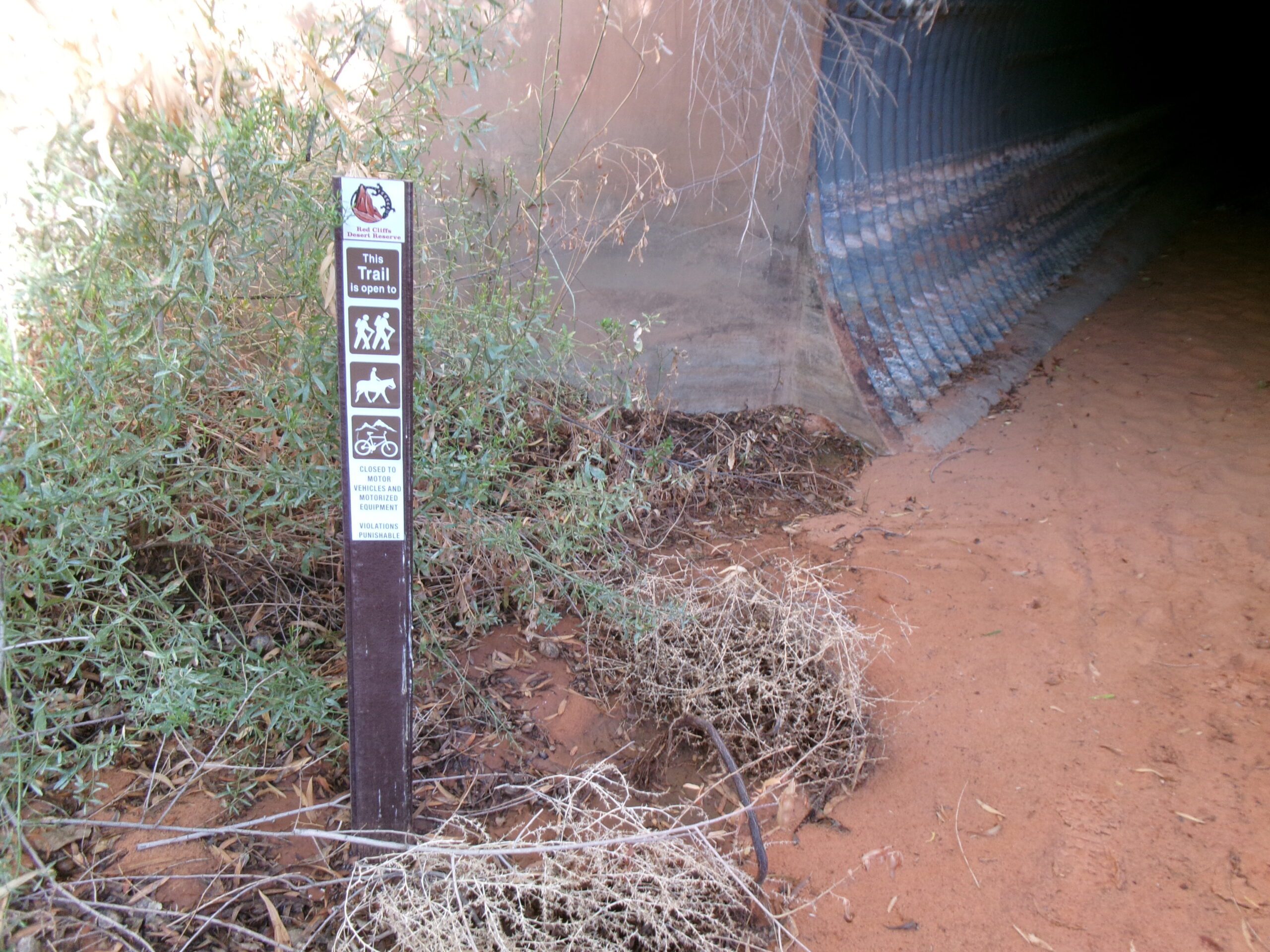
Trail sign at entrance tunnel under Interstate 15 at the beginning of Spanish Wash Trail, August 2026. Photo by Tom Garrison.
-
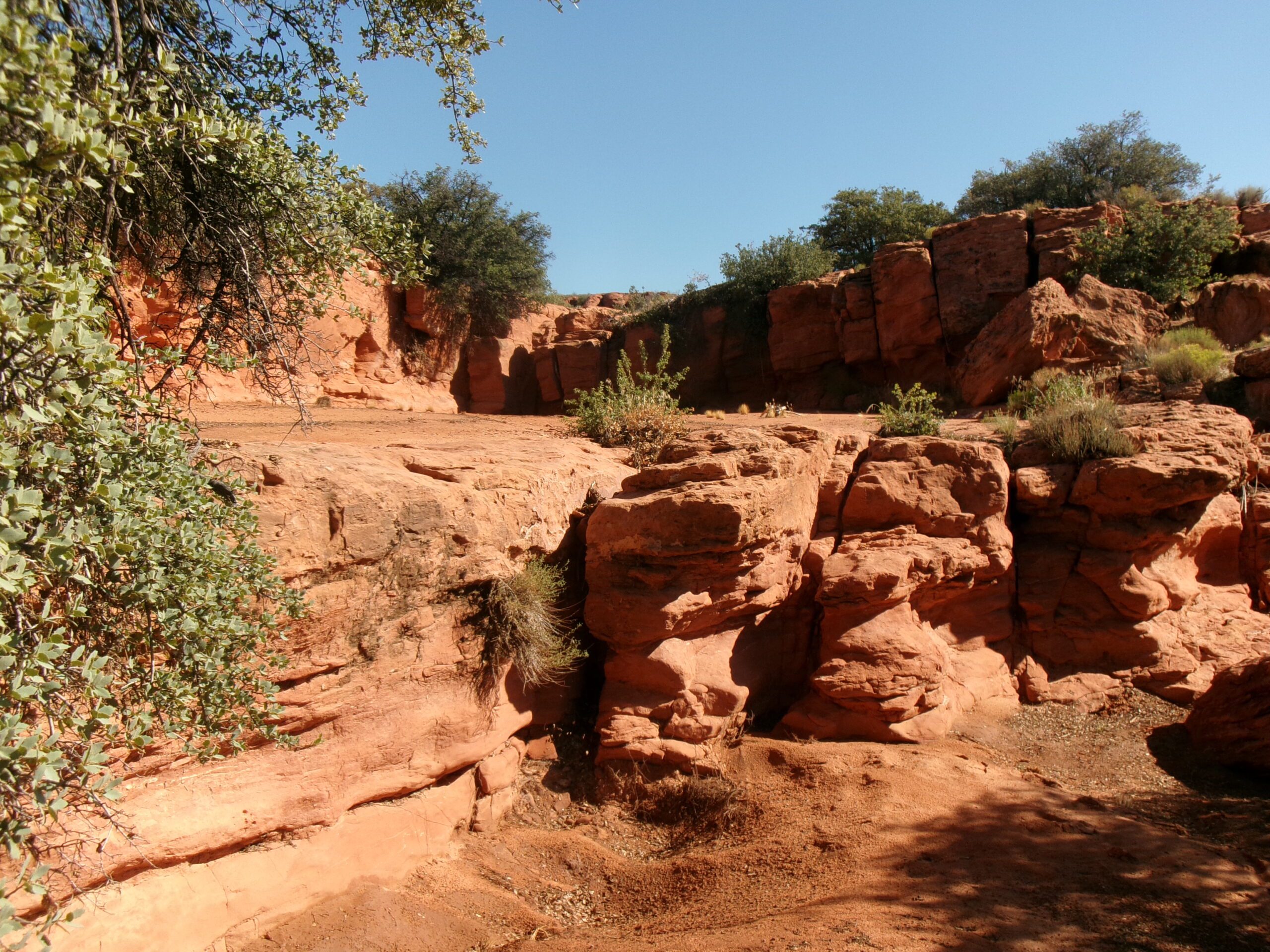
One of several dry falls, Spanish Wash Trail, August 2026. Photo by Tom Garrison
About 200 yards north of the parking area is the end of a wire fence and the beginning of a layer of lava rocks very close to the Interstate. There is a gully, part of Spanish Wash, kinda hidden by bushes. A trail goes into the gully to the entrance of a 10 feet diameter metal pipe that runs under the Interstate. On the left side of the entrance is an official Red Cliffs Desert Reserve trail marker that reads, “This trail is open to hikers, horseback riders, and bicycles.” This is the beginning of the trail, the unofficial trailhead.
How about a short hike to a colorful wash close to St. George? At the beginning of the hike you also get to walk under Interstate 15 through a ten feet diameter steel pipe. That sounds great. My wife, Deb, and I thought this is an adventure for us. The hike is along Spanish Wash Trail in the Red Cliffs Desert Reserve.
-
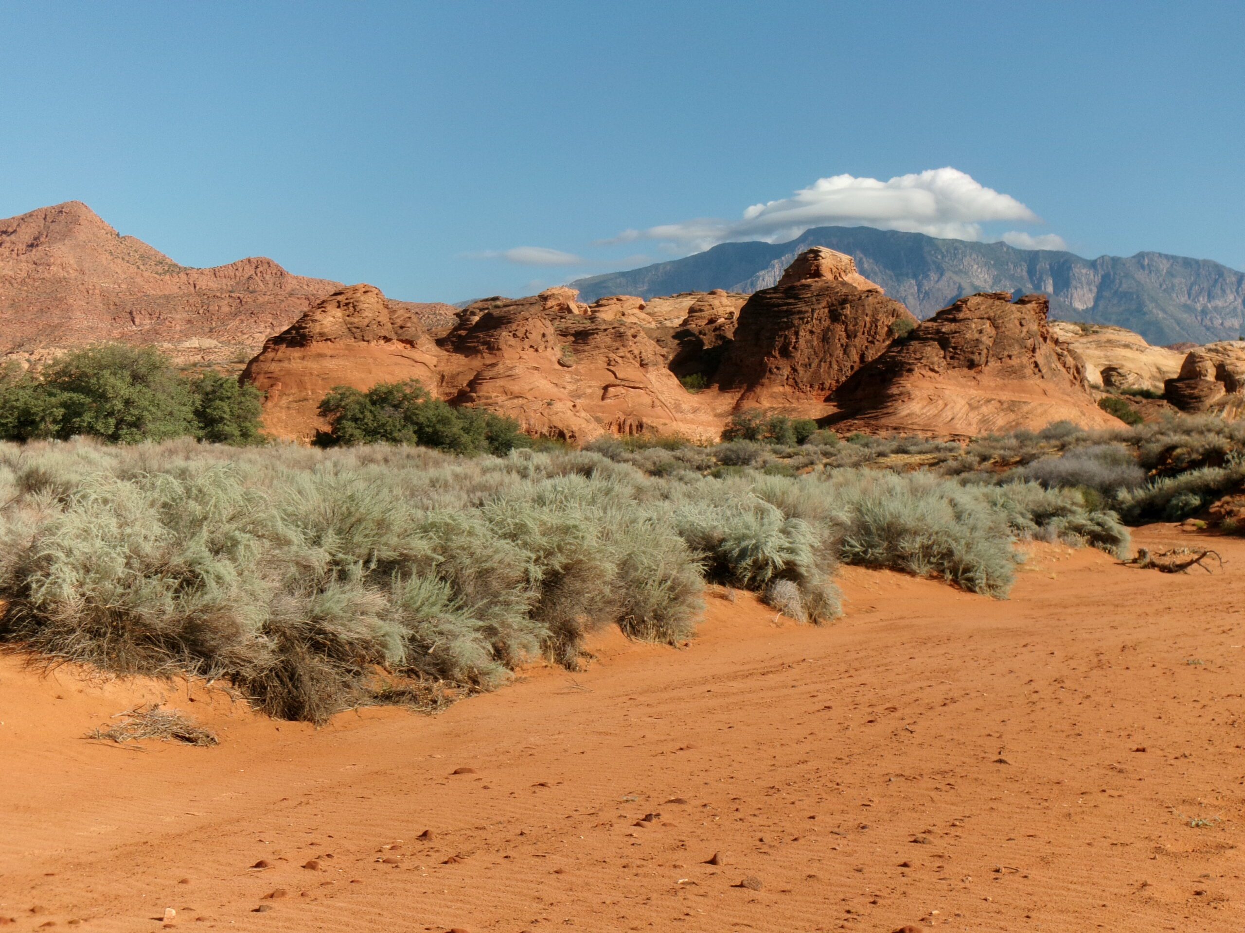
Red rock formation along Spanish Wash Trail. August 2026. Photo by Tom Garrison
The Reserve was established in 1996 to protect a large and diverse habitat capable of sustaining wildlife populations threatened by development and habitat loss. It comprises 62,000 acres and has more than 130 miles of shared use trails for hiking, horseback riding, and mountain biking. Three ecosystems—the Mojave Desert, the Great Basin Desert, and the Colorado Plateau—merge in southwestern Utah and the Reserve reflects the biological diversity of this unique region. The Red Cliffs Desert Reserve Habitat Conservation Plan is administered by Washington County in coordination with the Bureau of Land Management, the US Fish and Wildlife Service, Utah Department of Natural Resources, and the Utah School and Institutional Trust Lands Administration.
Deb and I began our trip on a mild mid-August Saturday morning. (It had rained quite a bit the previous two days. Hence, it was a fairly rare mild mid-August day.) We arrived at the parking area about 9:00 am under clear deep blue Utah sky with the temperature in the mid-70s.
-
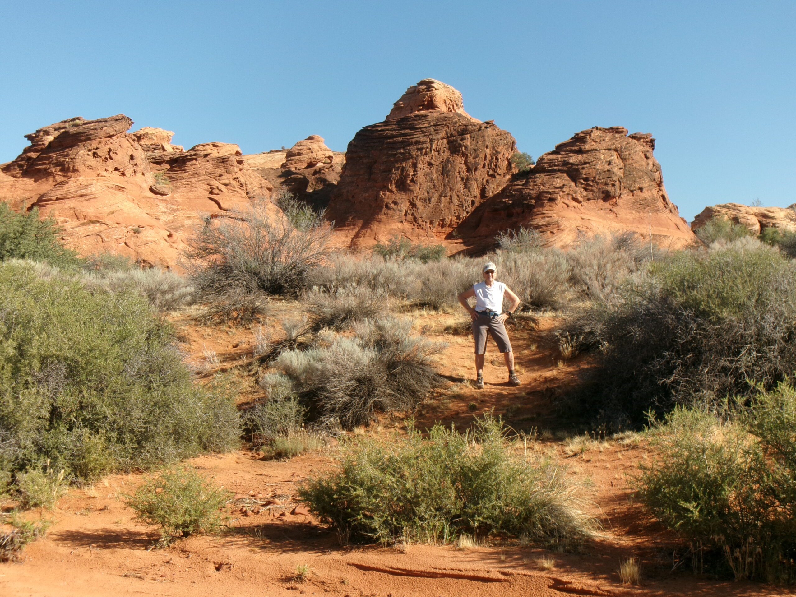
Deb in front of large red rock formation, Spanish Wash Trail, August 2026. Photo by Tom Garrison
We began by walking about 200 yards north of the parking area to the unofficial trailhead. The trailhead elevation is 3,056 feet with a 65 feet elevation change from the trailhead to highest point along the trail.
We entered the pipe and took out our flashlights, the tunnel is very dark and lined with uneven concrete on the bottom—large ridges in the middle section. It did, and probably will for many people, have small shallow pools of water among the concrete especially after recent rain. Remember, this pipe is part of the Spanish Wash drainage.
After exiting the tunnel/pipe the wash continues north and is rocky with several red rock dry falls (water falls after rain), a couple of large ones, in the first few hundred yards. There are faint user trails to the right and left allowing us to circle around the more extreme dry falls.
We followed the trail upstream in the wash as it meandered back and forth and soon became loose sand. Lucky for us it had rained the previous two days and the sand was still moist and easy to traverse.
-
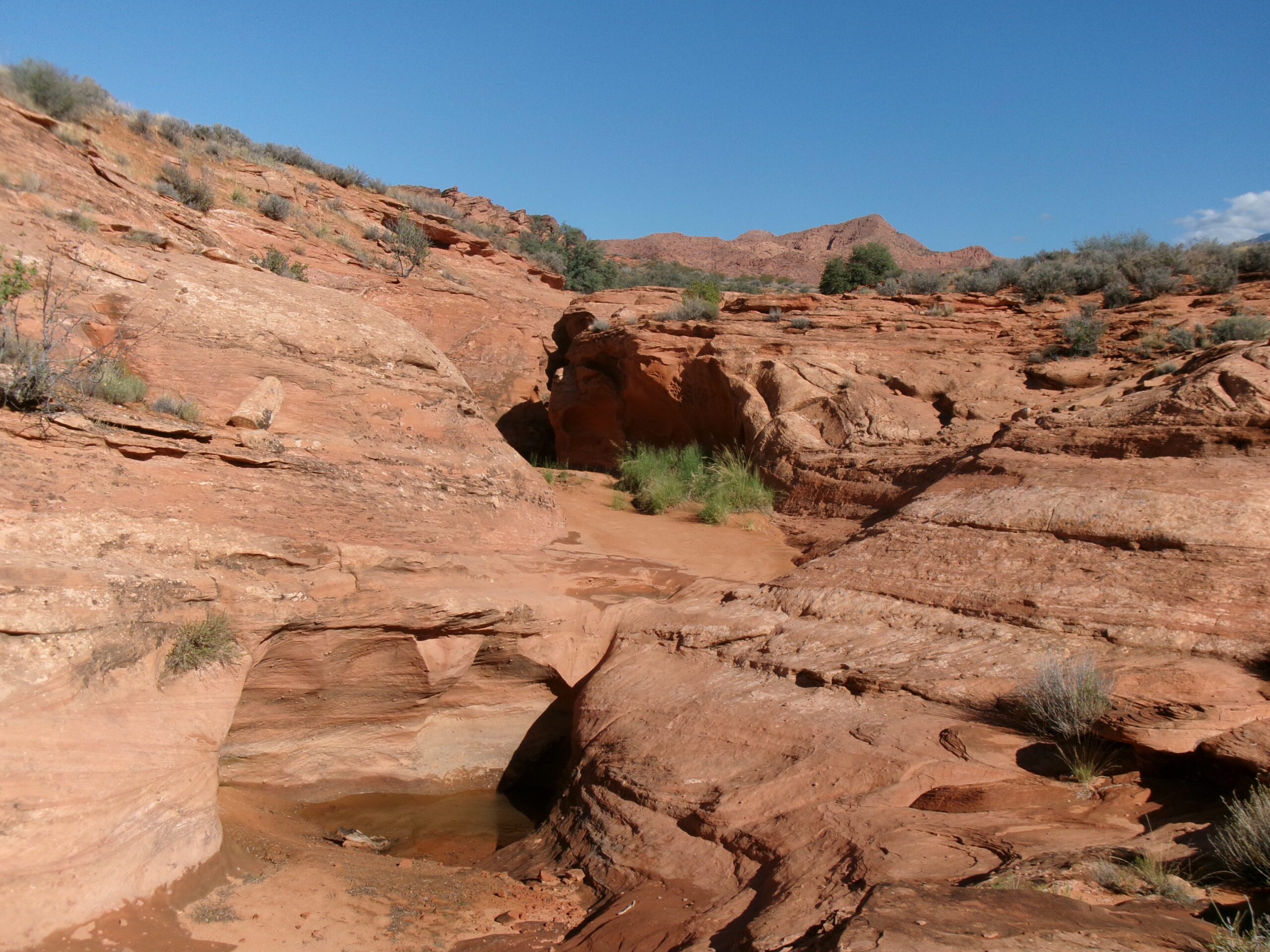
Slot Canyon area, Spanish Wash Trail, August 2026. Photo by Tom Garrison.
There is also a trail running along the top of the drainage, starting near the tunnel/pipe exit on the right (east) by which you can bypass the dry falls and the entire wash. We chose not to take that trail, wanting to have the full wash experience.
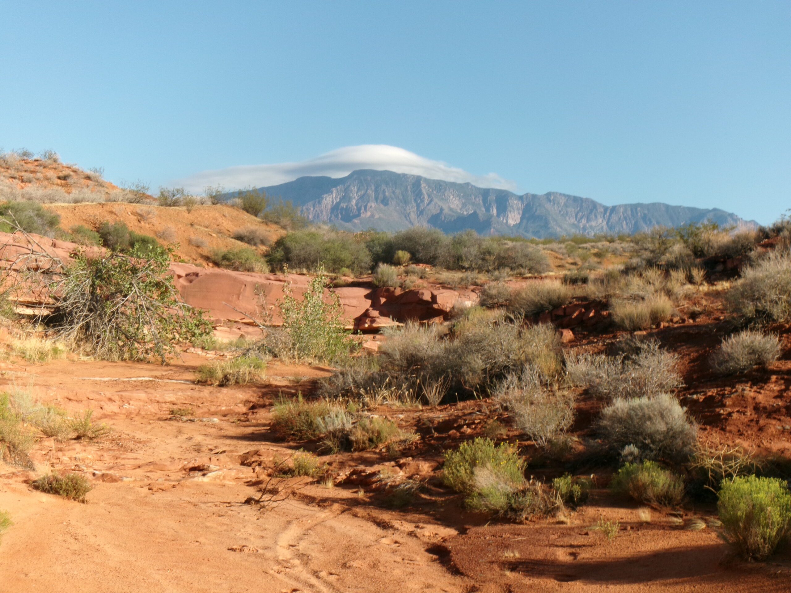
At .3 mile from the trailhead, we reached the intersection with Prospector Trail and the official Spanish Wash Trailhead. We continued north on the now official trail admiring the amazing red sandstone formations lining the wash and the view of Pine Valley Mountains.
About .3 mile from the trail intersection (about .6 mile from the unofficial trailhead) the path forks. The right continues up a ridge on the official trail. We went left (west) to a series of short slot canyons. The first was very narrow, maybe a foot wide a few yards in—not for us. We climbed above them and explored the slots and headed back to the main trail.
There are large clumps of bushes at many points along the trail, shady and perfect for a short rest stop. There were many birds inhabiting the bushes and they cheered us on as we walked along. We also saw a few lizards.
About 1.1 miles from the unofficial trailhead, we reached the intersection with Cottonwood Hills Trail, our turnaround point. On the way back we saw a couple of bike riders on Prospector Trail and met and chatted with an older experienced hiker (like us) near the pipe/tunnel.
This 2.2 mile round trip hike took about 1 ½ hours with plenty of stops for photos and just admiring the views. The solitude and incredible natural beauty make this hidden gem a “must do” hike for all who enjoy the outdoors and have a need to explore a dry wash.