

Hiking Southern Utah: Three Peaks Mountain

Trail Name: Big Hollow
Difficulty: Strenuous
Length: 5.75 miles roundtrip
Elevation Gain: 1,900 feet
Family-Friendly: No
Dog-Friendly: Yes
Special Considerations: While this trail does follow the Big Hollow Trail for a good portion, much of the route is off-trail travel through rugged terrain. A GPS, a map and compass, and good wilderness skills are beneficial.
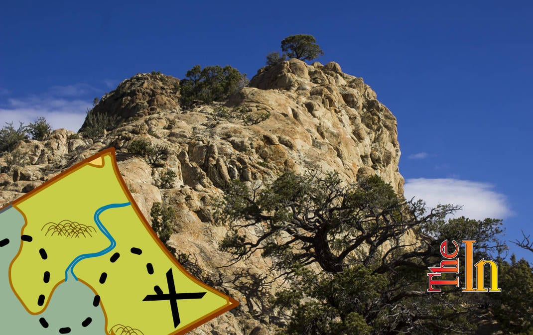
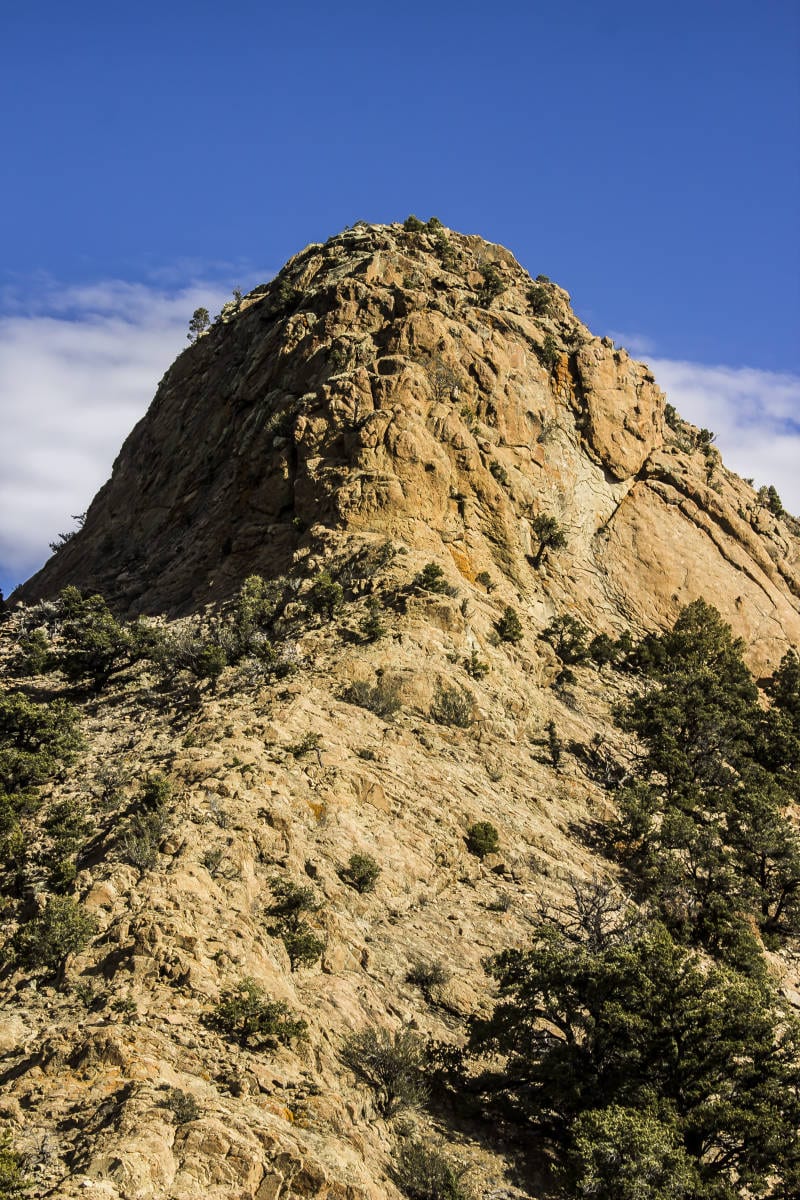
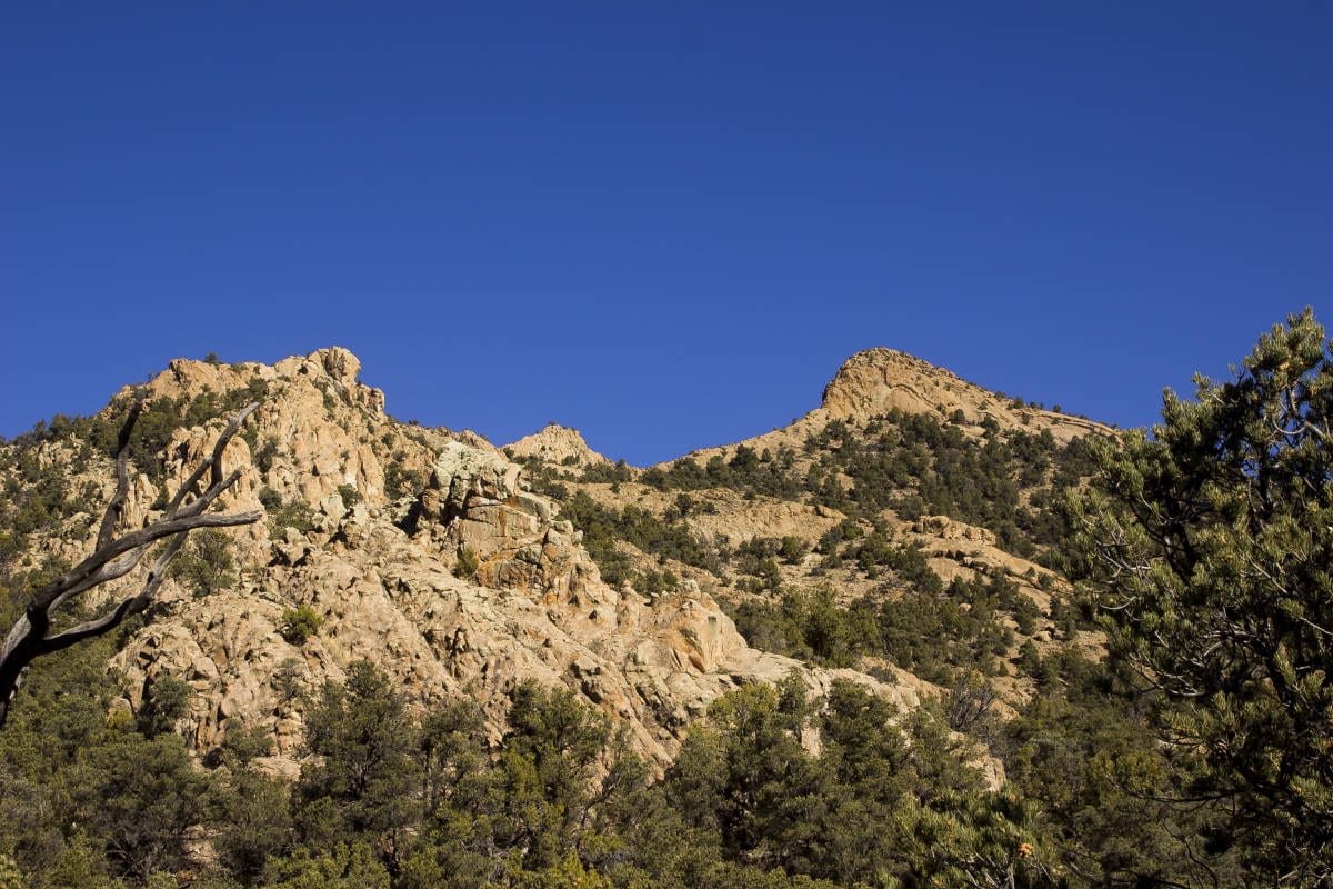
Three Peaks (my name for it) is an obscure mountain located near Stoddard Mountain between Enterprise and Cedar City. While not quite as high as neighboring Stoddard, it is a much more rugged, rocky mountain by comparison and provides interesting climbing. The traverse from south to north takes the sojourner over numerous rock crags and the three highest horns of the mountain, making for an epic half-day of adventure.
Access: To find Three Peaks Mountain, head north from St. George for approximately 37 miles to the small hamlet of Enterprise. Hang a right at the “T” junction in town, following the continuation of State Route 18 for 2.7 miles to Bench Road. Turn right and drive on Bench Road just under nine miles through the tiny town of Newcastle to the junction with State Route 56. Turn right and follow the highway for 12.2 miles to the junction with Pinto Road. Make a sharp right and drive down this well-graded dirt road for approximately 3.5 miles (no need for high clearance or 4WD here) to another dirt road heading southeast. Take a left, drive down this dirt road about a quarter mile, and find a spot to park.
From Cedar City, drive approximately 18 miles on State Road 56 to Pinto Road.
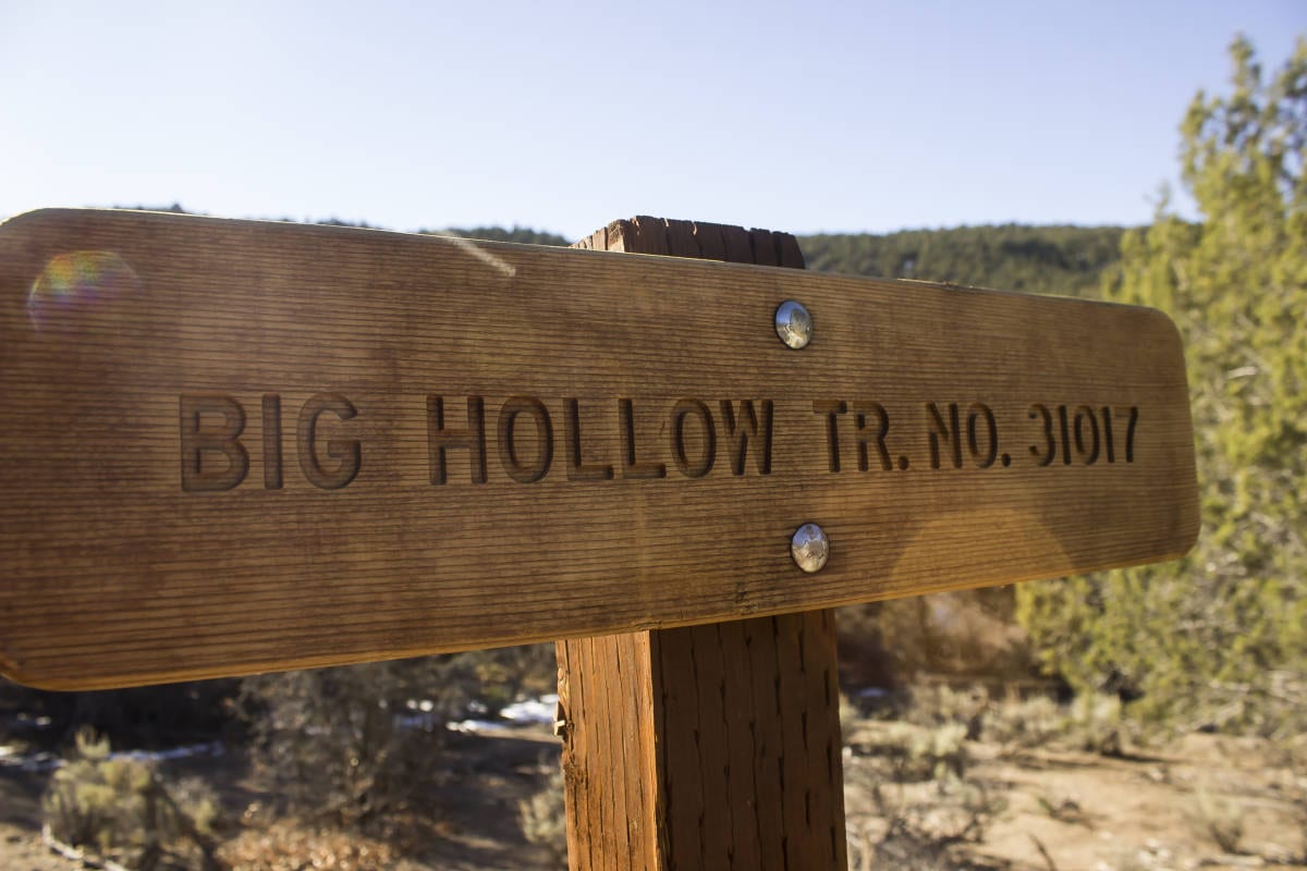
 Walk down the increasingly narrow road until you come to the sign for the Big Hollow Trail. Continue in the same direction (southeast). Soon the trail will begin following the creek bed, winding into and out of it, sometimes diverting a few yards into the trees but generally following the course of the draw. At about 1.5 miles, look for a rocky slope heading northeast. Head up this slope, keeping to the rocks as much as possible. With good route-finding, the rocks should provide a veritable highway heading up the mountain. Look for a small peak low down on the mountain. This makes for a good waypoint both on the ascent and the descent. It is also fun to scramble up this steep little nubbin.

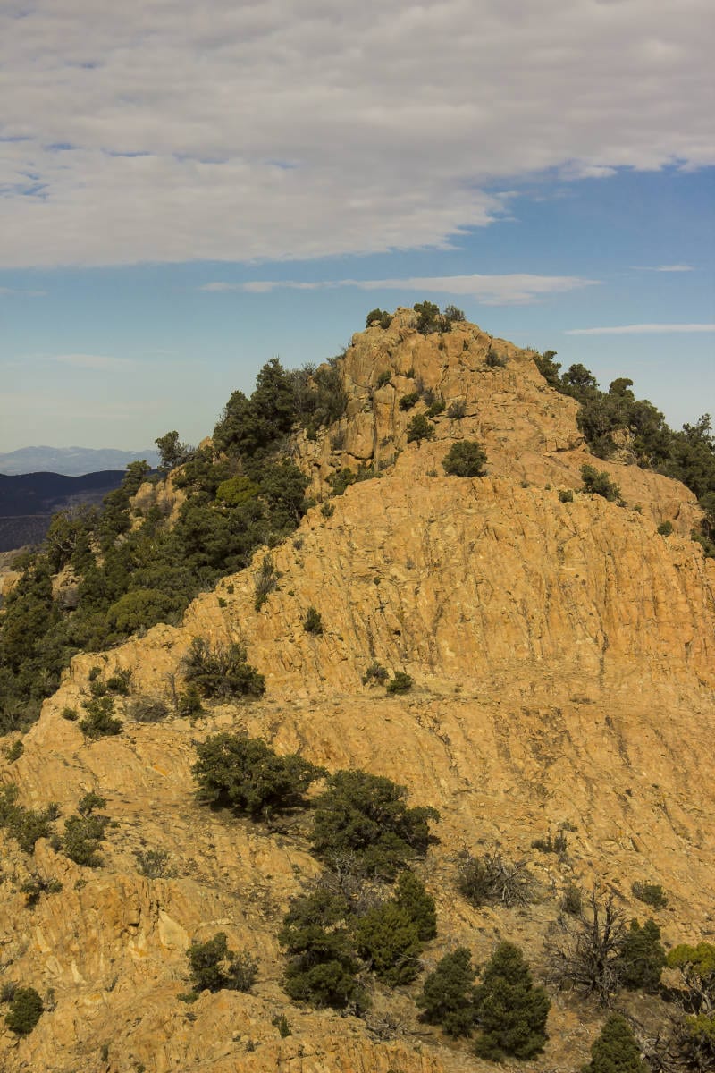
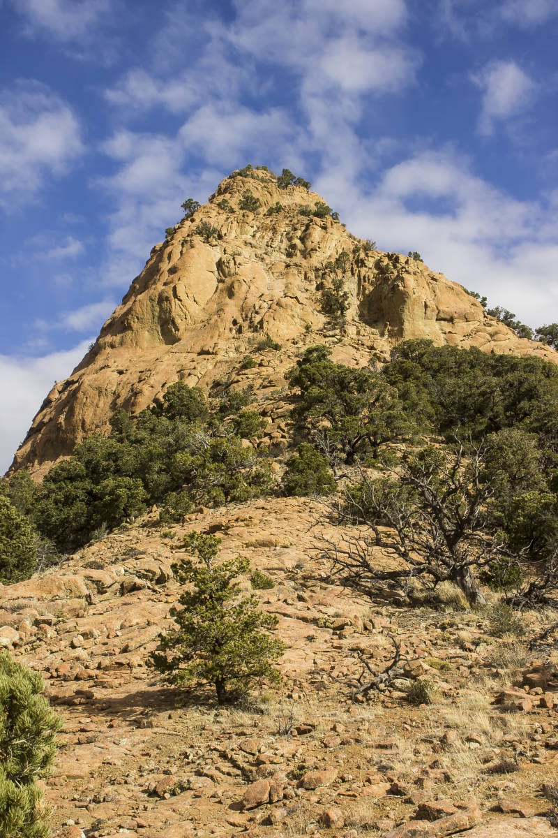
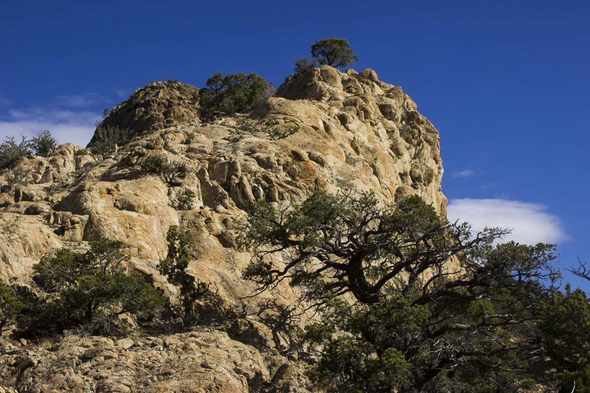
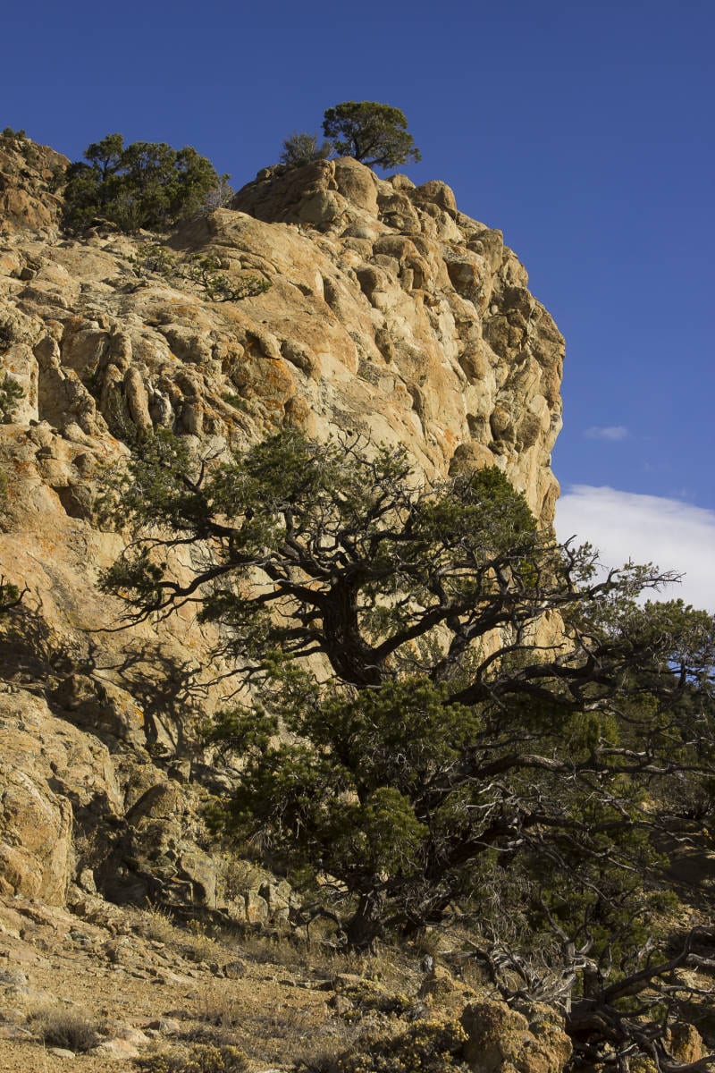
Continue hiking in a northeast direction, following the rocks, which makes for a relatively brush-free ascent—a rarity in these parts. Head towards the next set of crags. The best route follows gullies and slabs on the eastern side of this rocky ridge. As you approach the next crag, hike nearly to the base of it, then follow steep slabs up to the rocky crest. From there, ascend north towards the broad ridge leading to the first big peak, a beautiful golden pyramid looming above. Hike right up to its base, then contour to the left along its west side, clambering over the plate-like talus. On the far northern side, easy scrambling leads up to the summit (although when we climbed it on Nov. 15, a thin layer of snow and ice made for much more interesting, slippery climbing). A small glass bottle serves as a summit register, which is interesting because this is the lowest of the three peaks. The last recorded ascent was in 2013.

Descend the way you came and continue across the ridge towards peak No. 2. Again, aim for the very base of the peak, and this time when you reach it, contour to the east side of it until low-angle terrain provides an easy way to the summit. When ready, head north, descend the crag, and follow the ridge a short distance to the third crag, which seems to be the true high point of the mountain. Easy scrambling up the south side leads to the summit.
When ready to return, retrace your steps along the ridge back to the Big Hollow Trail. It’s helpful to use the smaller peaks lower on the mountain as route-finding guides. A GPS is also useful to keep you on track.
Articles related to “Hiking Southern Utah: Three Peaks Mountain”
Hiking Southern Utah: The Northgate Peaks and North Guardian Angel


