Tag: the Independent
Hidden Haven Falls Trail
Hidden Haven Falls Trail - From St. George travel north on Interstate 15. About 15 miles past Cedar City turn off at Exit 75 placing you on Highway 143 (aka 200 South Street)
Hiking Southern Utah: Eagle Crags
Eagle Crags has a wide sandy path strewn with rocks. The trail is in full sun on the arid, hot side of Zion National Park.
Movie Review: “Deadpool & Wolverine” Offers Up R-Rated Hilarity And A...
For those of you who’ve felt letdown by Marvel as of late, “Deadpool & Wolverine” might just be the shot in the arm you’re looking for.
Hiking Southern Utah: Church Rocks
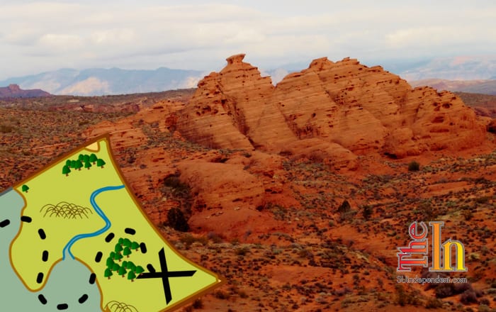
Church Rocks is a group of scenic red rock formations—possibly named for their church-like appearance—that can be viewed from the Church Rocks Loop.
Lava Flow Trail, Snow Canyon State Park
Lava Flow Trail - Along with red sandstone, ancient volcanoes, and lava flows (the dark volcanic stone known as basalt when it cools) are major factors
Hiking Southern Utah: Water Canyon
Water Canyon: From Hurricane, head out on Utah State Route 59 towards Arizona. When you get to Hildale, turn left onto Utah Avenue.
Hiking Southern Utah: Third Ravine
The Third Ravine is an under-appreciated gem. Located on the plateau bordering western St. George, the trail is a wonderful example of the diverse terrain of Washington County.
Hiking Southern Utah: Checkerboard Mesa
Checkerboard Mesa is one of the iconic landmarks in Zion National Park. Located on the less-frequented east side of the park, an ascent of this beautiful mountain provides for an exciting hike with spectacular scenery and quiet vistas.
Hiking Southern Utah: Pictograph Mountain
Pictograph Mountain is the large, colorful dome located in the southwestern portion of Snow Canyon State Park. As one of the dominant features in the park
Hiking Southern Utah: The mysterious Winchester Hills
Winchester Hills, while better known as a quiet subdivision off State Route 18 and east of Snow Canyon State Park, is also an interesting, slightly mysterious area of land


